Ctra. Mejorada - Est. Henares stop - Wednesday schedule
| Line | Direction | Time |
|---|---|---|
| C4B | Getafe Centro | 5:51 |
| C4A | Parla | 5:56 |
| C4B | Getafe Centro | 6:08 |
| C4B | Getafe Centro | 6:21 |
| C4B | Getafe Centro | 6:33 |
| C4B | Getafe Centro | 6:43 |
| C4B | Getafe Centro | 6:53 |
| C4B | Getafe Centro | 7:03 |
| C4A | Parla | 7:11 |
| C4B | Getafe Centro | 7:13 |
| C4B | Getafe Centro | 7:23 |
| 280 | Av. España - Zoco Coslada | 7:29 |
| C4B | Getafe Centro | 7:33 |
| C4B | Getafe Centro | 7:43 |
| C4B | Getafe Centro | 7:53 |
| 285 | Estación Ferrocarril - Est. San Fernando | 8:00 |
| 285 | Estación Ferrocarril - Est. San Fernando | 8:01 |
| C4B | Getafe Centro | 8:03 |
| C4B | Getafe Centro | 8:13 |
| 280 | Av. España - Zoco Coslada | 8:20 |
| C4B | Getafe Centro | 8:23 |
| C4A | Parla | 8:33 |
| C4B | Getafe Centro | 8:33 |
| C4B | Getafe Centro | 8:43 |
| C4B | Getafe Centro | 8:53 |
Directions to Ctra. Mejorada - Est. Henares stop (Madrid) with public transit
The following transit lines have routes that pass near Ctra. Mejorada - Est. Henares
How to get to Ctra. Mejorada - Est. Henares stop by bus?
Click on the bus route to see step by step directions with maps, line arrival times and updated time schedules.
How to get to Ctra. Mejorada - Est. Henares stop by train?
Click on the train route to see step by step directions with maps, line arrival times and updated time schedules.
Bus stops near Ctra. Mejorada - Est. Henares stop in Madrid
- Ctra. Mejorada - Est. Henares, 1 min walk,
- Av. Algorta - Est. Henares, 2 min walk,
- Av. Zarauz - Est. Henares, 2 min walk,
- Av. José Hierro - Urgencias, 12 min walk,
Metro stations near Ctra. Mejorada - Est. Henares station in Madrid
- Barrio Del Puerto, 20 min walk,
Train stations near Ctra. Mejorada - Est. Henares station in Madrid
- Coslada, 26 min walk,
Bus lines to Ctra. Mejorada - Est. Henares stop in Madrid
- 280, Bronce - Platino,
- 282, Av. América - Fco. Silvela,
- 284, Arganda - Antonio Machado,
- 285, Estación Ferrocarril - Est. San Fernando,
- SE7, Av. Marie Curie - Hospital Del Henares,
- 1, San Fernando - Pol. Industrial,
- 281, Cementerio - Tanatorio,
- 288, Hnos. G.ª Noblejas - Ciudad Lineal,
- 822, P.º De Los Pinos - Polideportivo Municipal,
- N203, Dr. Enrique Alcorta - Venezuela,
- 289, Av. Marie Curie - Hospital Del Henares,
What are the closest stations to Ctra. Mejorada - Est. Henares?
The closest stations to Ctra. Mejorada - Est. Henares are:
- Ctra. Mejorada - Est. Henares is 39 meters away, 1 min walk.
- Av. Algorta - Est. Henares is 70 meters away, 2 min walk.
- Av. Zarauz - Est. Henares is 129 meters away, 2 min walk.
- Av. José Hierro - Urgencias is 907 meters away, 12 min walk.
- Barrio Del Puerto is 1501 meters away, 20 min walk.
- Coslada is 2017 meters away, 26 min walk.
Which bus lines stop near Ctra. Mejorada - Est. Henares?
These bus lines stop near Ctra. Mejorada - Est. Henares: 282, 288.
Which train line stops near Ctra. Mejorada - Est. Henares?
C2 (Guadalajara)
What’s the nearest metro station to Ctra. Mejorada - Est. Henares in Madrid?
The nearest metro station to Ctra. Mejorada - Est. Henares in Madrid is Barrio Del Puerto. It’s a 20 min walk away.
What’s the nearest train station to Ctra. Mejorada - Est. Henares in Madrid?
The nearest train station to Ctra. Mejorada - Est. Henares in Madrid is Coslada. It’s a 26 min walk away.
What’s the nearest bus station to Ctra. Mejorada - Est. Henares in Madrid?
The nearest bus station to Ctra. Mejorada - Est. Henares in Madrid is Ctra. Mejorada - Est. Henares. It’s a 1 min walk away.
What time is the first metro to Ctra. Mejorada - Est. Henares in Madrid?
The M-7 is the first metro that goes to Ctra. Mejorada - Est. Henares in Madrid. It stops nearby at 6:08 AM.
What time is the last metro to Ctra. Mejorada - Est. Henares in Madrid?
The M-7 is the last metro that goes to Ctra. Mejorada - Est. Henares in Madrid. It stops nearby at 2:11 AM.
What time is the first train to Ctra. Mejorada - Est. Henares in Madrid?
The C7 is the first train that goes to Ctra. Mejorada - Est. Henares in Madrid. It stops nearby at 5:20 AM.
What time is the last train to Ctra. Mejorada - Est. Henares in Madrid?
The C2 is the last train that goes to Ctra. Mejorada - Est. Henares in Madrid. It stops nearby at 12:12 AM.
What time is the first bus to Ctra. Mejorada - Est. Henares in Madrid?
The N203 is the first bus that goes to Ctra. Mejorada - Est. Henares in Madrid. It stops nearby at 3:50 AM.
What time is the last bus to Ctra. Mejorada - Est. Henares in Madrid?
The N203 is the last bus that goes to Ctra. Mejorada - Est. Henares in Madrid. It stops nearby at 2:22 AM.
Ctra. Mejorada - Est. Henares station
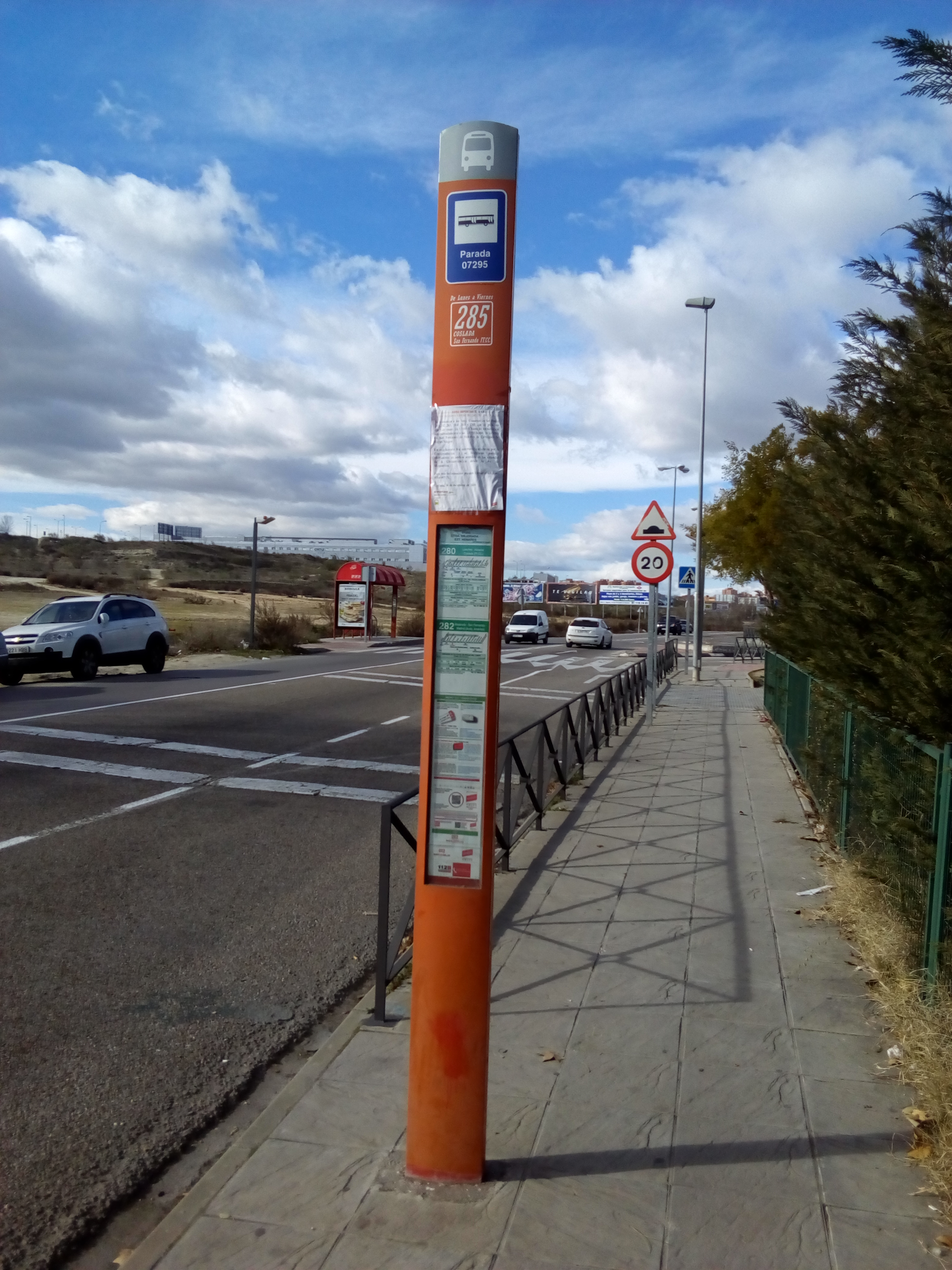 Taken by Fernando F.
See Ctra. Mejorada - Est. Henares stop, Madrid, on the map
Public transit to Ctra. Mejorada - Est. Henares stop (ID: 8_07295) in Madrid
Looking for directions to Ctra. Mejorada - Est. Henares in Madrid, Spain?
Download the Moovit App to find the current schedule and step-by-step directions for Bus, Train or Metro routes that pass through Ctra. Mejorada - Est. Henares.
Looking for the nearest stops closest to Ctra. Mejorada - Est. Henares ? Check out this list of closest stops to your destination: Ctra. Mejorada - Est. Henares; Av. Algorta - Est. Henares; Av. Zarauz - Est. Henares; Av. José Hierro - Urgencias; Barrio Del Puerto; Coslada.
Bus: 282, 288, 280, 284, 285, SE7, 1, 281, 822, N203, 289.Train: C2, C7.Metro: M-7.
We make riding on public transit to Ctra. Mejorada - Est. Henares easy, which is why over 1.5 million users, including users in Madrid trust Moovit as the best app for public transit.
Use the app to navigate to popular places including to the airport, hospital, stadium, grocery store, mall, coffee shop, school, college, and university.
Ctra. Mejorada - Est. Henares stop’s code is 8_07295
The first line to this stop is C4B, at 5:51, and the last line is 280 at 0:39.
Avenida de Algorta, Madrid, Spain
This stop serves Interurbanos and Renfe Cercanías’s lines
Popular routes from Ctra. Mejorada - Est. Henares stop, Madrid
Bus stops near Ctra. Mejorada - Est. Henares stop
Metro station near Ctra. Mejorada - Est. Henares station
Train station near Ctra. Mejorada - Est. Henares station
Popular public transit stations in Madrid
Get around Madrid by public transit!
Traveling around Madrid has never been so easy. See step by step directions as you travel to any attraction, street or major public transit station. View bus and train schedules, arrival times, service alerts and detailed routes on a map, so you know exactly how to get to anywhere in Madrid.
When traveling to any destination around Madrid use Moovit's Live Directions with Get Off Notifications to know exactly where and how far to walk, how long to wait for your line, and how many stops are left. Moovit will alert you when it's time to get off — no need to constantly re-check whether yours is the next stop.
Wondering how to use public transit in Madrid or how to pay for public transit in Madrid? Moovit public transit app can help you navigate your way with public transit easily, and at minimum cost. It includes public transit fees, ticket prices, and costs. Looking for a map of Madrid public transit lines? Moovit public transit app shows all public transit maps in Madrid with all Bus, Train, Metro and Light Rail routes and stops on an interactive map.
Madrid has 4 transit type(s), including: Bus, Train, Metro and Light Rail, operated by several transit agencies, including EMT, Metro Ligero, Tranvía de Parla, Interurbanos, Metro de Madrid, Urbanos de Fuenlabrada, Urbanos de Alcalá de Henares, Urbanos de Alcobendas, Urbanos de Collado Villalba, Urbanos de Colmenar Viejo, Urbanos de Tres Cantos, Urbanos de Móstoles, Urbanos de Leganés, Urbanos de Alcorcón and Urbanos de Coslada