How to get to Everfresh Packaging Inc. by bus?
Click on the bus route to see step by step directions with maps, line arrival times and updated time schedules.
From Palladium, Worcester
114 minFrom Polar Park, Worcester
110 minFrom Foxwoods, Worcester
138 minFrom Walmart Supercenter, Worcester
167 minFrom South High Community School, Worcester
205 minFrom Dcu Center, Worcester
111 minFrom Worcester, MA, Worcester
109 minFrom Registry Of Motor Vehicles (Rmv) Branch Office, Worcester
113 min
Bus stops near Everfresh Packaging Inc. in Boston
Bus lines to Everfresh Packaging Inc. in Boston
What are the closest stations to Everfresh Packaging Inc.?
The closest stations to Everfresh Packaging Inc. are:
- Springfield / Gaylord is 266 yards away, 4 min walk.
- Center/Union is 425 yards away, 6 min walk.
Which bus lines stop near Everfresh Packaging Inc.?
These bus lines stop near Everfresh Packaging Inc.: G1, P21.
What’s the nearest bus station to Everfresh Packaging Inc. in Boston?
The nearest bus station to Everfresh Packaging Inc. in Boston is Springfield / Gaylord. It’s a 4 min walk away.
What time is the first bus to Everfresh Packaging Inc. in Boston?
The P21 is the first bus that goes to Everfresh Packaging Inc. in Boston. It stops nearby at 5:13 AM.
What time is the last bus to Everfresh Packaging Inc. in Boston?
The G1 is the last bus that goes to Everfresh Packaging Inc. in Boston. It stops nearby at 9:54 PM.
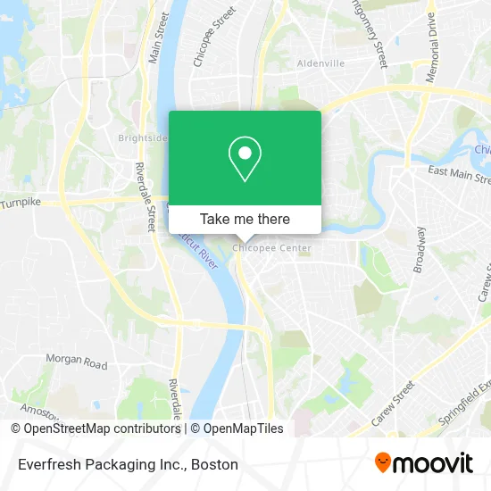
See Everfresh Packaging Inc., Boston, on the map
Public Transit to Everfresh Packaging Inc. in Boston
Wondering how to get to Everfresh Packaging Inc. in Boston? Moovit helps you find the best way to get to Everfresh Packaging Inc. with step-by-step directions from the nearest public transit station.
Moovit provides free maps and live directions to help you navigate through your city. View schedules, routes, timetables, and find out how long does it take to get to Everfresh Packaging Inc. in real time.
Looking for the nearest stop or station to Everfresh Packaging Inc.? Check out this list of stops closest to your destination: Springfield / Gaylord; Center/Union.
Bus: G1, P21.
Want to see if there’s another route that gets you there at an earlier time? Moovit helps you find alternative routes or times. Get directions from and directions to Everfresh Packaging Inc. easily from the Moovit App or Website.
We make riding to Everfresh Packaging Inc. easy, which is why over 1.7 million users, including users in Boston, trust Moovit as the best app for public transit. You don’t need to download an individual bus app or train app, Moovit is your all-in-one transit app that helps you find the best bus time or train time available.
For information on prices of bus, costs and ride fares to Everfresh Packaging Inc., please check the Moovit app.
Use the app to navigate to popular places including to the airport, hospital, stadium, grocery store, mall, coffee shop, school, college, and university.
Everfresh Packaging Inc. Address: 165 Front St # 2422 street in Boston
- Parking Lot,
- Lyman Mill Company Building,
- Vinny's Pizza,
- Body by Ally,
- Glam Studio by Malerie,
- Princesa Deli Market,
- Movimiento Iglesia Christiana Church,
- Mosher Co,
- Lucy Wisniowski Park,
- Wisniowski Park,
- Max Cap Spot #1,
- Chicopee Building Supp,
- Delta Park,
- Lids,
- Golden Mirror Beauty Salon,
- Church of New Beginnings,
- First World Mortgage,
- Bluesky Garage Doors,
- BMO Harris Bank,
- Furniture Outlet
Places Near Everfresh Packaging Inc. (Boston)
- Cheers, Boston,
- Boston Children's Hospital, Boston,
- Boston Medical Center, Boston,
- Prudential Center, Boston,
- Boston Convention & Exhibition Center, Boston,
- Wilbur Theatre, Boston,
- Quincy Market, Boston,
- Castle Island, Boston,
- Mgm Music Hall, Boston,
- House Of Blues, Boston,
- Isabella Stewart Gardner Museum, Boston,
- Td Garden, Boston,
- Seaport District, Boston,
- North End, Boston,
- Museum Of Science, Boston,
- Massachusetts General Hospital, Boston,
- Leader Bank Pavilion (Leader Bank Pavillion), Boston,
- Boston Common, Boston,
- Wang Theater, Boston,
- Faneuil Hall, Boston
How to get to popular places in Boston with public transit
Get around Boston by public transit!
Traveling around Boston has never been so easy. See step by step directions as you travel to any attraction, street or major public transit station. View bus and train schedules, arrival times, service alerts and detailed routes on a map, so you know exactly how to get to anywhere in Boston.
When traveling to any destination around Boston use Moovit's Live Directions with Get Off Notifications to know exactly where and how far to walk, how long to wait for your line, and how many stops are left. Moovit will alert you when it's time to get off — no need to constantly re-check whether yours is the next stop.
Wondering how to use public transit in Boston or how to pay for public transit in Boston? Moovit public transit app can help you navigate your way with public transit easily, and at minimum cost. It includes public transit fees, ticket prices, and costs. Looking for a map of Boston public transit lines? Moovit public transit app shows all public transit maps in Boston with all Bus, Train, Subway and Ferry routes and stops on an interactive map.
Boston has 4 transit type(s), including: Bus, Train, Subway and Ferry, operated by several transit agencies, including MBTA, Southeastern Regional Transit Authority, MetroWest Regional Transit Authority, Rhode Island Public Transit Authority, WRTA, Lowell Regional Transit Authority, Merrimack Valley Transit, Montachusett Regional Transit Authority, Cape Cod Regional Transit Authority, Brockton Area Transit Authority, Martha's Vineyard Transit Authority, the WAVE - Nantucket Regional Transit Authority, GATRA, Cape Ann Transportation Authority and Massport