Directions to Excel Academy (Boston) with public transportation
The following transit lines have routes that pass near Excel Academy
 Bus: 21, 28, 29, 31.
- Train: FAIRMOUNT, FRANKLIN/FOXBORO, FAIRMOUNT LINE SHUTTLE, PROVIDENCE/STOUGHTON.
- Subway: ORANGE LINE, RED LINE.
How to get to Excel Academy by bus?
Click on the bus route to see step by step directions with maps, line arrival times and updated time schedules.
From JFK Federal Building, Boston
63 minFrom 245 Summer Street, Boston
57 minFrom the mall at rockingham park mall, Boston
59 minFrom Sunrise Shuttle Pick Up, Boston
96 minFrom Charles W. Eliot Bridge, Boston
86 minFrom Bunker Hill Community College, Boston
89 minFrom The W Hotel Boston, Boston
49 minFrom Maverick Station, Boston
97 minFrom Dartmouth, Boston
47 minFrom Spaulding Hospital, Cambridge
81 min
How to get to Excel Academy by train?
Click on the train route to see step by step directions with maps, line arrival times and updated time schedules.
How to get to Excel Academy by subway?
Click on the subway route to see step by step directions with maps, line arrival times and updated time schedules.
From JFK Federal Building, Boston
62 minFrom 245 Summer Street, Boston
51 minFrom the mall at rockingham park mall, Boston
101 minFrom Sunrise Shuttle Pick Up, Boston
66 minFrom Charles W. Eliot Bridge, Boston
84 minFrom Bunker Hill Community College, Boston
64 minFrom The W Hotel Boston, Boston
57 minFrom Maverick Station, Boston
67 minFrom Dartmouth, Boston
52 minFrom Spaulding Hospital, Cambridge
78 min
Bus stops near Excel Academy in Boston
Train stations near Excel Academy in Boston
- Morton Street, 17 min walk,VIEW
Bus lines to Excel Academy in Boston
What are the closest stations to Excel Academy?
The closest stations to Excel Academy are:
- Blue Hill Ave @ Johnston Rd is 124 yards away, 2 min walk.
- Morton St @ Theodore St is 303 yards away, 4 min walk.
- Morton St @ Havelock St is 385 yards away, 5 min walk.
- Morton Street is 1380 yards away, 17 min walk.
Which bus lines stop near Excel Academy?
These bus lines stop near Excel Academy: 21, 28, 29, 31.
Which train line stops near Excel Academy?
FAIRMOUNT (#1619 | Fairmount)
Which subway lines stop near Excel Academy?
These subway lines stop near Excel Academy: ORANGE LINE, RED LINE.
What’s the nearest train station to Excel Academy in Boston?
The nearest train station to Excel Academy in Boston is Morton Street. It’s a 17 min walk away.
What’s the nearest bus station to Excel Academy in Boston?
The nearest bus station to Excel Academy in Boston is Blue Hill Ave @ Johnston Rd. It’s a 2 min walk away.
What time is the first train to Excel Academy in Boston?
The FAIRMOUNT is the first train that goes to Excel Academy in Boston. It stops nearby at 4:36 AM.
What time is the last train to Excel Academy in Boston?
The FAIRMOUNT is the last train that goes to Excel Academy in Boston. It stops nearby at 12:08 AM.
What time is the first bus to Excel Academy in Boston?
The 28 is the first bus that goes to Excel Academy in Boston. It stops nearby at 3:12 AM.
What time is the last bus to Excel Academy in Boston?
The 28 is the last bus that goes to Excel Academy in Boston. It stops nearby at 2:22 AM.
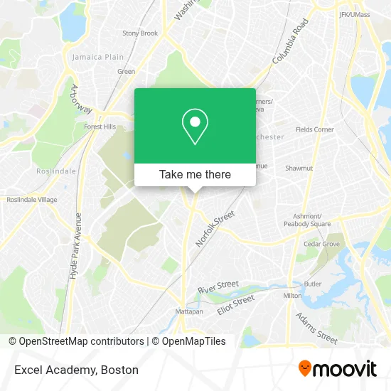
See Excel Academy, Boston, on the map
Public Transit to Excel Academy in Boston
Wondering how to get to Excel Academy in Boston? Moovit helps you find the best way to get to Excel Academy with step-by-step directions from the nearest public transit station.
Moovit provides free maps and live directions to help you navigate through your city. View schedules, routes, timetables, and find out how long does it take to get to Excel Academy in real time.
Looking for the nearest stop or station to Excel Academy? Check out this list of stops closest to your destination: Blue Hill Ave @ Johnston Rd; Morton St @ Theodore St; Morton St @ Havelock St; Morton Street.
Bus: 21, 28, 29, 31.Train: FAIRMOUNT, FRANKLIN/FOXBORO, FAIRMOUNT LINE SHUTTLE, PROVIDENCE/STOUGHTON.Subway: ORANGE LINE, RED LINE.
Want to see if there’s another route that gets you there at an earlier time? Moovit helps you find alternative routes or times. Get directions from and directions to Excel Academy easily from the Moovit App or Website.
We make riding to Excel Academy easy, which is why over 1.7 million users, including users in Boston, trust Moovit as the best app for public transit. You don’t need to download an individual bus app or train app, Moovit is your all-in-one transit app that helps you find the best bus time or train time available.
For information on prices of bus, subway and train, costs and ride fares to Excel Academy, please check the Moovit app.
Use the app to navigate to popular places including to the airport, hospital, stadium, grocery store, mall, coffee shop, school, college, and university.
Excel Academy Address: 1105 Blue Hill Ave street in Boston
- Church of Boston (Eglise du Bon Berger Haitienne de Boston),
- Asap Windshield,
- Chez Vous Roller Skating Rink,
- New Chez Vous,
- Luis Rivera,
- PLS Check Cashing Store,
- Mt Sinai Baptist Church ,
- Ar-Rahman Mosque,
- Stratton St Building 16,
- The Resonance Repatterning Institute,
- Harvard Commons Development,
- Rubyglo SBBQ,
- Morning Star Baptist Church,
- Patrick's Racket Solutions,
- Young Achievers Science And Mathematics Pilot School,
- Roberts Photo Studio,
- Azurdia Pet Life,
- Franklin Field,
- Boston VFW Post,
- Boston Police Post VFW 1018
Places Near Excel Academy (Boston)
- Td Garden, Boston,
- Wang Theater, Boston,
- Museum Of Science, Boston,
- North End, Boston,
- Isabella Stewart Gardner Museum, Boston,
- Faneuil Hall, Boston,
- Boston Medical Center, Boston,
- Wilbur Theatre, Boston,
- Prudential Center, Boston,
- Cheers, Boston,
- Boston Common, Boston,
- Mgm Music Hall, Boston,
- House Of Blues, Boston,
- Massachusetts General Hospital, Boston,
- Quincy Market, Boston,
- Boston Children's Hospital, Boston,
- Boston Convention & Exhibition Center, Boston,
- Seaport District, Boston,
- Leader Bank Pavilion (Leader Bank Pavillion), Boston,
- Castle Island, Boston
How to get to popular places in Boston with public transit
Get around Boston by public transit!
Traveling around Boston has never been so easy. See step by step directions as you travel to any attraction, street or major public transit station. View bus and train schedules, arrival times, service alerts and detailed routes on a map, so you know exactly how to get to anywhere in Boston.
When traveling to any destination around Boston use Moovit's Live Directions with Get Off Notifications to know exactly where and how far to walk, how long to wait for your line, and how many stops are left. Moovit will alert you when it's time to get off — no need to constantly re-check whether yours is the next stop.
Wondering how to use public transit in Boston or how to pay for public transit in Boston? Moovit public transit app can help you navigate your way with public transit easily, and at minimum cost. It includes public transit fees, ticket prices, and costs. Looking for a map of Boston public transit lines? Moovit public transit app shows all public transit maps in Boston with all Bus, Train, Subway and Ferry routes and stops on an interactive map.
Boston has 4 transit type(s), including: Bus, Train, Subway and Ferry, operated by several transit agencies, including MBTA, Southeastern Regional Transit Authority, MetroWest Regional Transit Authority, Rhode Island Public Transit Authority, WRTA, Lowell Regional Transit Authority, Merrimack Valley Transit, Montachusett Regional Transit Authority, Cape Cod Regional Transit Authority, Brockton Area Transit Authority, Martha's Vineyard Transit Authority, the WAVE - Nantucket Regional Transit Authority, GATRA, Cape Ann Transportation Authority and Massport