Directions to Excelsure Homes Healthcare (Boston) with public transportation
The following transit lines have routes that pass near Excelsure Homes Healthcare
 Bus: B7, G5, G1, G2, T1.
- Train: LAKE SHORE LIMITED, VERMONTER, AMTRAK HARTFORD LINE, NORTHEAST REGIONAL, VALLEY FLYER.
How to get to Excelsure Homes Healthcare by bus?
Click on the bus route to see step by step directions with maps, line arrival times and updated time schedules.
From Walmart Supercenter, Worcester
164 minFrom Polar Park, Worcester
107 minFrom Palladium, Worcester
111 minFrom Dcu Center, Worcester
108 minFrom Worcester, MA, Worcester
106 minFrom Registry Of Motor Vehicles (Rmv) Branch Office, Worcester
110 minFrom South High Community School, Worcester
202 minFrom Foxwoods, Worcester
135 min
How to get to Excelsure Homes Healthcare by train?
Click on the train route to see step by step directions with maps, line arrival times and updated time schedules.
Bus stops near Excelsure Homes Healthcare in Boston
Train station near Excelsure Homes Healthcare in Boston
- Springfield, 32 min walk,VIEW
Bus lines to Excelsure Homes Healthcare in Boston
- G1, The X Via Sumner Ave,VIEW
- G2, E Springfield Via Union Station-Mercy,VIEW
- T1, Sumner To the X To Dickinson,VIEW
- T2, Belmont To the X,VIEW
- T5, State St Blunt Park Rd To Bay St,VIEW
- T92, State Street Blunt Pk Rd To Bay Street,VIEW
- X92, Memorial Industrial Park Via Senior Center And Roosevelt,VIEW
- G5, Union Station Via Jewish Home,VIEW
What are the closest stations to Excelsure Homes Healthcare?
The closest stations to Excelsure Homes Healthcare are:
- Main / Margaret is 133 yards away, 3 min walk.
- Maple / Union (2) is 274 yards away, 4 min walk.
- Springfield is 2707 yards away, 32 min walk.
Which bus lines stop near Excelsure Homes Healthcare?
These bus lines stop near Excelsure Homes Healthcare: B7, G5.
Which train lines stop near Excelsure Homes Healthcare?
These train lines stop near Excelsure Homes Healthcare: LAKE SHORE LIMITED, VERMONTER.
What’s the nearest bus station to Excelsure Homes Healthcare in Boston?
The nearest bus station to Excelsure Homes Healthcare in Boston is Main / Margaret. It’s a 3 min walk away.
What time is the first train to Excelsure Homes Healthcare in Boston?
The NORTHEAST REGIONAL is the first train that goes to Excelsure Homes Healthcare in Boston. It stops nearby at 4:10 AM.
What time is the last train to Excelsure Homes Healthcare in Boston?
The LAKE SHORE LIMITED is the last train that goes to Excelsure Homes Healthcare in Boston. It stops nearby at 6:04 PM.
What time is the first bus to Excelsure Homes Healthcare in Boston?
The G2 is the first bus that goes to Excelsure Homes Healthcare in Boston. It stops nearby at 5:23 AM.
What time is the last bus to Excelsure Homes Healthcare in Boston?
The G2 is the last bus that goes to Excelsure Homes Healthcare in Boston. It stops nearby at 10:04 PM.
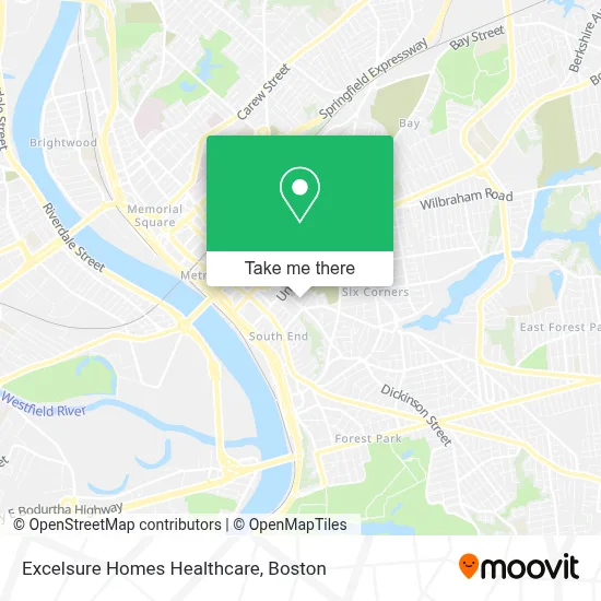
See Excelsure Homes Healthcare, Boston, on the map
Public Transit to Excelsure Homes Healthcare in Boston
Wondering how to get to Excelsure Homes Healthcare in Boston? Moovit helps you find the best way to get to Excelsure Homes Healthcare with step-by-step directions from the nearest public transit station.
Moovit provides free maps and live directions to help you navigate through your city. View schedules, routes, timetables, and find out how long does it take to get to Excelsure Homes Healthcare in real time.
Looking for the nearest stop or station to Excelsure Homes Healthcare? Check out this list of stops closest to your destination: Main / Margaret; Maple / Union (2); Springfield.
Bus: B7, G5, G1, G2, T1, T2, T5.Train: LAKE SHORE LIMITED, VERMONTER, AMTRAK HARTFORD LINE, NORTHEAST REGIONAL, VALLEY FLYER.
Want to see if there’s another route that gets you there at an earlier time? Moovit helps you find alternative routes or times. Get directions from and directions to Excelsure Homes Healthcare easily from the Moovit App or Website.
We make riding to Excelsure Homes Healthcare easy, which is why over 1.7 million users, including users in Boston, trust Moovit as the best app for public transit. You don’t need to download an individual bus app or train app, Moovit is your all-in-one transit app that helps you find the best bus time or train time available.
For information on prices of bus and train, costs and ride fares to Excelsure Homes Healthcare, please check the Moovit app.
Use the app to navigate to popular places including to the airport, hospital, stadium, grocery store, mall, coffee shop, school, college, and university.
Excelsure Homes Healthcare Address: 155 Maple St Ste 409 street in Boston
- Addiction Rehab Springfield,
- Mva Center,
- Jewel M Slepchuk CPA,
- Neighborhood Deli,
- Ruby Realty,
- RE/MAX,
- Rosalia,
- Pyramid Project,
- New Colony Court,
- Don Mario,
- Family Home Improvement,
- Comprehensive Family Medical Care P C,
- Transitions Employment,
- Fresh Air Indoor Allergen Services,
- Milton Bradley School,
- JB High Quality Dental la,
- Tru Audio,
- Dino's Family Childcare,
- Christina's House,
- Ursuline Academy
Places Near Excelsure Homes Healthcare (Boston)
- Seaport District, Boston,
- Quincy Market, Boston,
- Isabella Stewart Gardner Museum, Boston,
- Cheers, Boston,
- Boston Medical Center, Boston,
- Castle Island, Boston,
- Wilbur Theatre, Boston,
- Faneuil Hall, Boston,
- Boston Children's Hospital, Boston,
- Mgm Music Hall, Boston,
- Museum Of Science, Boston,
- Leader Bank Pavilion (Leader Bank Pavillion), Boston,
- Prudential Center, Boston,
- Massachusetts General Hospital, Boston,
- Boston Convention & Exhibition Center, Boston,
- Wang Theater, Boston,
- North End, Boston,
- House Of Blues, Boston,
- Td Garden, Boston,
- Boston Common, Boston
How to get to popular places in Boston with public transit
Get around Boston by public transit!
Traveling around Boston has never been so easy. See step by step directions as you travel to any attraction, street or major public transit station. View bus and train schedules, arrival times, service alerts and detailed routes on a map, so you know exactly how to get to anywhere in Boston.
When traveling to any destination around Boston use Moovit's Live Directions with Get Off Notifications to know exactly where and how far to walk, how long to wait for your line, and how many stops are left. Moovit will alert you when it's time to get off — no need to constantly re-check whether yours is the next stop.
Wondering how to use public transit in Boston or how to pay for public transit in Boston? Moovit public transit app can help you navigate your way with public transit easily, and at minimum cost. It includes public transit fees, ticket prices, and costs. Looking for a map of Boston public transit lines? Moovit public transit app shows all public transit maps in Boston with all Bus, Train, Subway and Ferry routes and stops on an interactive map.
Boston has 4 transit type(s), including: Bus, Train, Subway and Ferry, operated by several transit agencies, including MBTA, Southeastern Regional Transit Authority, MetroWest Regional Transit Authority, Rhode Island Public Transit Authority, WRTA, Lowell Regional Transit Authority, Merrimack Valley Transit, Montachusett Regional Transit Authority, Cape Cod Regional Transit Authority, Brockton Area Transit Authority, Martha's Vineyard Transit Authority, the WAVE - Nantucket Regional Transit Authority, GATRA, Cape Ann Transportation Authority and Massport