Directions to First Baptist Church Abc (Boston) with public transportation
The following transit lines have routes that pass near First Baptist Church Abc
 Bus: P20.
- Train: AMTRAK HARTFORD LINE, LAKE SHORE LIMITED, NORTHEAST REGIONAL, VALLEY FLYER, VERMONTER.
How to get to First Baptist Church Abc by bus?
Click on the bus route to see step by step directions with maps, line arrival times and updated time schedules.
From South High Community School, Worcester
219 minFrom Worcester, MA, Worcester
122 minFrom Dcu Center, Worcester
124 minFrom Registry Of Motor Vehicles (Rmv) Branch Office, Worcester
126 minFrom Foxwoods, Worcester
151 minFrom Polar Park, Worcester
123 minFrom Walmart Supercenter, Worcester
181 minFrom Palladium, Worcester
127 min
Bus stop near First Baptist Church Abc in Boston
- Elm / Eldridge, 12 min walk,VIEW
Train station near First Baptist Church Abc in Boston
- Springfield, 20 min walk,VIEW
Bus lines to First Baptist Church Abc in Boston
- P20, Holyoke Trans. Ctr. Via Holyoke Mall,VIEW
What are the closest stations to First Baptist Church Abc?
The closest stations to First Baptist Church Abc are:
- Elm / Eldridge is 991 yards away, 12 min walk.
- Springfield is 1679 yards away, 20 min walk.
Which bus line stops near First Baptist Church Abc?
P20 (Holyoke Trans. Ctr. Via Holyoke Mall)
What’s the nearest train station to First Baptist Church Abc in Boston?
The nearest train station to First Baptist Church Abc in Boston is Springfield. It’s a 20 min walk away.
What’s the nearest bus station to First Baptist Church Abc in Boston?
The nearest bus station to First Baptist Church Abc in Boston is Elm / Eldridge. It’s a 12 min walk away.
What time is the first train to First Baptist Church Abc in Boston?
The NORTHEAST REGIONAL is the first train that goes to First Baptist Church Abc in Boston. It stops nearby at 4:10 AM.
What time is the last train to First Baptist Church Abc in Boston?
The LAKE SHORE LIMITED is the last train that goes to First Baptist Church Abc in Boston. It stops nearby at 6:04 PM.
What time is the first bus to First Baptist Church Abc in Boston?
The P20 is the first bus that goes to First Baptist Church Abc in Boston. It stops nearby at 5:36 AM.
What time is the last bus to First Baptist Church Abc in Boston?
The P20 is the last bus that goes to First Baptist Church Abc in Boston. It stops nearby at 11:06 PM.
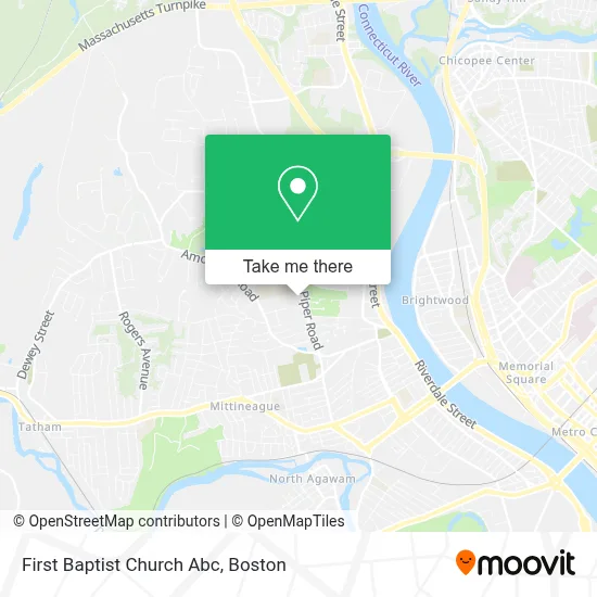
See First Baptist Church Abc, Boston, on the map
Public Transit to First Baptist Church Abc in Boston
Wondering how to get to First Baptist Church Abc in Boston? Moovit helps you find the best way to get to First Baptist Church Abc with step-by-step directions from the nearest public transit station.
Moovit provides free maps and live directions to help you navigate through your city. View schedules, routes, timetables, and find out how long does it take to get to First Baptist Church Abc in real time.
Looking for the nearest stop or station to First Baptist Church Abc? Check out this list of stops closest to your destination: Elm / Eldridge; Springfield.
Bus: P20.Train: AMTRAK HARTFORD LINE, LAKE SHORE LIMITED, NORTHEAST REGIONAL, VALLEY FLYER, VERMONTER.
Want to see if there’s another route that gets you there at an earlier time? Moovit helps you find alternative routes or times. Get directions from and directions to First Baptist Church Abc easily from the Moovit App or Website.
We make riding to First Baptist Church Abc easy, which is why over 1.7 million users, including users in Boston, trust Moovit as the best app for public transit. You don’t need to download an individual bus app or train app, Moovit is your all-in-one transit app that helps you find the best bus time or train time available.
For information on prices of bus, costs and ride fares to First Baptist Church Abc, please check the Moovit app.
Use the app to navigate to popular places including to the airport, hospital, stadium, grocery store, mall, coffee shop, school, college, and university.
First Baptist Church Abc Address: 337 Piper Rd street in Boston
- West Springfield High School,
- Cook Playground,
- Mother Of Sorrows Monastery,
- Memorial Pool,
- West Springfield Covenant Community Church,
- Tufts Dental Facility,
- Diva Construction,
- Sumler's Family Cleaning Business,
- Help Anyone,
- En Prise Instructional Chess School,
- Tudo Limpo,
- Line Cleaning Service,
- AB Plumbing,
- Mobile Small Engine Mechanic,
- Oli Verse Fine Solutions,
- Martis Health Care Service and More,
- Ed's Renovation,
- Landford Painting and Other Services,
- Quality Renovations,
- Ov Home Improvements
Places Near First Baptist Church Abc (Boston)
- North End, Boston,
- Td Garden, Boston,
- House Of Blues, Boston,
- Castle Island, Boston,
- Museum Of Science, Boston,
- Prudential Center, Boston,
- Wang Theater, Boston,
- Quincy Market, Boston,
- Faneuil Hall, Boston,
- Isabella Stewart Gardner Museum, Boston,
- Mgm Music Hall, Boston,
- Boston Common, Boston,
- Boston Medical Center, Boston,
- Cheers, Boston,
- Wilbur Theatre, Boston,
- Leader Bank Pavilion (Leader Bank Pavillion), Boston,
- Massachusetts General Hospital, Boston,
- Boston Convention & Exhibition Center, Boston,
- Seaport District, Boston,
- Boston Children's Hospital, Boston
How to get to popular places in Boston with public transit
Get around Boston by public transit!
Traveling around Boston has never been so easy. See step by step directions as you travel to any attraction, street or major public transit station. View bus and train schedules, arrival times, service alerts and detailed routes on a map, so you know exactly how to get to anywhere in Boston.
When traveling to any destination around Boston use Moovit's Live Directions with Get Off Notifications to know exactly where and how far to walk, how long to wait for your line, and how many stops are left. Moovit will alert you when it's time to get off — no need to constantly re-check whether yours is the next stop.
Wondering how to use public transit in Boston or how to pay for public transit in Boston? Moovit public transit app can help you navigate your way with public transit easily, and at minimum cost. It includes public transit fees, ticket prices, and costs. Looking for a map of Boston public transit lines? Moovit public transit app shows all public transit maps in Boston with all Bus, Train, Subway and Ferry routes and stops on an interactive map.
Boston has 4 transit type(s), including: Bus, Train, Subway and Ferry, operated by several transit agencies, including MBTA, Southeastern Regional Transit Authority, MetroWest Regional Transit Authority, Rhode Island Public Transit Authority, WRTA, Lowell Regional Transit Authority, Merrimack Valley Transit, Montachusett Regional Transit Authority, Cape Cod Regional Transit Authority, Brockton Area Transit Authority, Martha's Vineyard Transit Authority, the WAVE - Nantucket Regional Transit Authority, GATRA, Cape Ann Transportation Authority and Massport