Directions to Gateway Healthcare - Healthy Transitions Program (Boston) with public transportation
The following transit lines have routes that pass near Gateway Healthcare - Healthy Transitions Program
 Bus: 35, 80, 76, 78.
- Train: PROVIDENCE/STOUGHTON, FOXBORO EVENT SERVICE.
How to get to Gateway Healthcare - Healthy Transitions Program by bus?
Click on the bus route to see step by step directions with maps, line arrival times and updated time schedules.
How to get to Gateway Healthcare - Healthy Transitions Program by train?
Click on the train route to see step by step directions with maps, line arrival times and updated time schedules.
Bus stops near Gateway Healthcare - Healthy Transitions Program in Boston
Train stations near Gateway Healthcare - Healthy Transitions Program in Boston
Bus lines to Gateway Healthcare - Healthy Transitions Program in Boston
What are the closest stations to Gateway Healthcare - Healthy Transitions Program?
The closest stations to Gateway Healthcare - Healthy Transitions Program are:
- Columbus Opposite Orth is 45 yards away, 1 min walk.
- N Bend After Walcott is 887 yards away, 11 min walk.
- Prospect Opposite Chestnut is 1121 yards away, 14 min walk.
- South Attleboro is 2970 yards away, 36 min walk.
- Pawtucket/Central Falls is 3963 yards away, 47 min walk.
Which bus lines stop near Gateway Healthcare - Healthy Transitions Program?
These bus lines stop near Gateway Healthcare - Healthy Transitions Program: 35, 80.
Which train line stops near Gateway Healthcare - Healthy Transitions Program?
PROVIDENCE/STOUGHTON (#828 | South Station)
What’s the nearest bus station to Gateway Healthcare - Healthy Transitions Program in Boston?
The nearest bus station to Gateway Healthcare - Healthy Transitions Program in Boston is Columbus Opposite Orth. It’s a 1 min walk away.
What time is the first train to Gateway Healthcare - Healthy Transitions Program in Boston?
The PROVIDENCE/STOUGHTON is the first train that goes to Gateway Healthcare - Healthy Transitions Program in Boston. It stops nearby at 4:16 AM.
What time is the last train to Gateway Healthcare - Healthy Transitions Program in Boston?
The PROVIDENCE/STOUGHTON is the last train that goes to Gateway Healthcare - Healthy Transitions Program in Boston. It stops nearby at 12:56 AM.
What time is the first bus to Gateway Healthcare - Healthy Transitions Program in Boston?
The 80 is the first bus that goes to Gateway Healthcare - Healthy Transitions Program in Boston. It stops nearby at 5:59 AM.
What time is the last bus to Gateway Healthcare - Healthy Transitions Program in Boston?
The 78 is the last bus that goes to Gateway Healthcare - Healthy Transitions Program in Boston. It stops nearby at 11:13 PM.
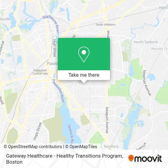
See Gateway Healthcare - Healthy Transitions Program, Boston, on the map
Public Transit to Gateway Healthcare - Healthy Transitions Program in Boston
Wondering how to get to Gateway Healthcare - Healthy Transitions Program in Boston? Moovit helps you find the best way to get to Gateway Healthcare - Healthy Transitions Program with step-by-step directions from the nearest public transit station.
Moovit provides free maps and live directions to help you navigate through your city. View schedules, routes, timetables, and find out how long does it take to get to Gateway Healthcare - Healthy Transitions Program in real time.
Looking for the nearest stop or station to Gateway Healthcare - Healthy Transitions Program? Check out this list of stops closest to your destination: Columbus Opposite Orth; N Bend After Walcott; Prospect Opposite Chestnut; South Attleboro; Pawtucket/Central Falls.
Bus: 35, 80, 76, 78.Train: PROVIDENCE/STOUGHTON, FOXBORO EVENT SERVICE.
Want to see if there’s another route that gets you there at an earlier time? Moovit helps you find alternative routes or times. Get directions from and directions to Gateway Healthcare - Healthy Transitions Program easily from the Moovit App or Website.
We make riding to Gateway Healthcare - Healthy Transitions Program easy, which is why over 1.7 million users, including users in Boston, trust Moovit as the best app for public transit. You don’t need to download an individual bus app or train app, Moovit is your all-in-one transit app that helps you find the best bus time or train time available.
For information on prices of bus and train, costs and ride fares to Gateway Healthcare - Healthy Transitions Program, please check the Moovit app.
Use the app to navigate to popular places including to the airport, hospital, stadium, grocery store, mall, coffee shop, school, college, and university.
Gateway Healthcare - Healthy Transitions Program Address: 105 Bacon St street in Boston
- Blazin Bugs,
- Palagis Ice Cream,
- Dusza Almeida VFW Post 2339,
- Grupo Amigos de Terceira (Community Center of Grupo Amigos da Terceira),
- Alliance Paper Company Inc Alliance,
- Shear Style,
- McCoy Stadium,
- Scott Anthony Barber Academy,
- Bloom Back Flowers,
- Haus,
- Foodprep Solutions,
- Veracious Auto Glass,
- Beloved Chinese Restaurant,
- Cristy Studio,
- Mass Hood Cleaning,
- Straight Autocare,
- Blackstone Valley Claim Service,
- Jorge Mejia,
- Liberty Help Multiservice,
- Joseph Jenks Junior High
Places Near Gateway Healthcare - Healthy Transitions Program (Boston)
- Td Garden, Boston,
- Castle Island, Boston,
- Wilbur Theatre, Boston,
- Prudential Center, Boston,
- North End, Boston,
- Faneuil Hall, Boston,
- Massachusetts General Hospital, Boston,
- Seaport District, Boston,
- Boston Medical Center, Boston,
- House Of Blues, Boston,
- Boston Common, Boston,
- Boston Convention & Exhibition Center, Boston,
- Museum Of Science, Boston,
- Cheers, Boston,
- Boston Children's Hospital, Boston,
- Mgm Music Hall, Boston,
- Quincy Market, Boston,
- Isabella Stewart Gardner Museum, Boston,
- Wang Theater, Boston,
- Leader Bank Pavilion (Leader Bank Pavillion), Boston
How to get to popular places in Boston with public transit
Get around Boston by public transit!
Traveling around Boston has never been so easy. See step by step directions as you travel to any attraction, street or major public transit station. View bus and train schedules, arrival times, service alerts and detailed routes on a map, so you know exactly how to get to anywhere in Boston.
When traveling to any destination around Boston use Moovit's Live Directions with Get Off Notifications to know exactly where and how far to walk, how long to wait for your line, and how many stops are left. Moovit will alert you when it's time to get off — no need to constantly re-check whether yours is the next stop.
Wondering how to use public transit in Boston or how to pay for public transit in Boston? Moovit public transit app can help you navigate your way with public transit easily, and at minimum cost. It includes public transit fees, ticket prices, and costs. Looking for a map of Boston public transit lines? Moovit public transit app shows all public transit maps in Boston with all Bus, Train, Subway and Ferry routes and stops on an interactive map.
Boston has 4 transit type(s), including: Bus, Train, Subway and Ferry, operated by several transit agencies, including MBTA, Southeastern Regional Transit Authority, MetroWest Regional Transit Authority, Rhode Island Public Transit Authority, WRTA, Lowell Regional Transit Authority, Merrimack Valley Transit, Montachusett Regional Transit Authority, Cape Cod Regional Transit Authority, Brockton Area Transit Authority, Martha's Vineyard Transit Authority, the WAVE - Nantucket Regional Transit Authority, GATRA, Cape Ann Transportation Authority and Massport