Directions to Get Lively (Watertown Town) with public transportation
The following transit lines have routes that pass near Get Lively
 Bus: 70, 64, 86, 71.
- Train: FRAMINGHAM/WORCESTER.
- Subway: GREEN LINE B, RED LINE.
How to get to Get Lively by bus?
Click on the bus route to see step by step directions with maps, line arrival times and updated time schedules.
From Children's Hospital, Boston
86 minFrom 240 Mount Vernon Street, Boston
84 minFrom Faneuil Hall, Boston
58 minFrom West Roxbury VA Medical Center, Boston
67 minFrom AMC Theatres-Boston Common 19, Boston
45 minFrom Paul Revere House, Boston
63 minFrom VA Hospital, Boston
66 minFrom Boston Harbor, Boston
62 minFrom Boston Temple, Boston
59 minFrom Downeast Cider, Boston
63 min
How to get to Get Lively by train?
Click on the train route to see step by step directions with maps, line arrival times and updated time schedules.
From Children's Hospital, Boston
76 minFrom 240 Mount Vernon Street, Boston
76 minFrom Faneuil Hall, Boston
61 minFrom West Roxbury VA Medical Center, Boston
102 minFrom AMC Theatres-Boston Common 19, Boston
60 minFrom Paul Revere House, Boston
67 minFrom VA Hospital, Boston
99 minFrom Boston Harbor, Boston
64 minFrom Boston Temple, Boston
46 min
How to get to Get Lively by subway?
Click on the subway route to see step by step directions with maps, line arrival times and updated time schedules.
Bus stops near Get Lively in Watertown Town
Subway station near Get Lively in Watertown Town
- Warren Street, 10 min walk,VIEW
Bus lines to Get Lively in Watertown Town
What are the closest stations to Get Lively?
The closest stations to Get Lively are:
- Arsenal St Opp Talcott Ave is 206 yards away, 3 min walk.
- N Beacon St @ Goodenough St is 339 yards away, 5 min walk.
- Market St @ Lothrop St is 694 yards away, 9 min walk.
- Mt Auburn St @ Adams St is 752 yards away, 9 min walk.
- Warren Street is 811 yards away, 10 min walk.
Which bus line stops near Get Lively?
70 (Market Place Dr)
Which train line stops near Get Lively?
FRAMINGHAM/WORCESTER (#525 | Worcester)
Which subway lines stop near Get Lively?
These subway lines stop near Get Lively: GREEN LINE B, RED LINE.
What’s the nearest subway station to Get Lively in Watertown Town?
The nearest subway station to Get Lively in Watertown Town is Warren Street. It’s a 10 min walk away.
What’s the nearest bus station to Get Lively in Watertown Town?
The nearest bus station to Get Lively in Watertown Town is Arsenal St Opp Talcott Ave. It’s a 3 min walk away.
What time is the first subway to Get Lively in Watertown Town?
The GREEN LINE B is the first subway that goes to Get Lively in Watertown Town. It stops nearby at 5:10 AM.
What time is the last subway to Get Lively in Watertown Town?
The GREEN LINE B is the last subway that goes to Get Lively in Watertown Town. It stops nearby at 2:30 AM.
What time is the first bus to Get Lively in Watertown Town?
The 70 is the first bus that goes to Get Lively in Watertown Town. It stops nearby at 4:35 AM.
What time is the last bus to Get Lively in Watertown Town?
The 64 is the last bus that goes to Get Lively in Watertown Town. It stops nearby at 1:23 AM.
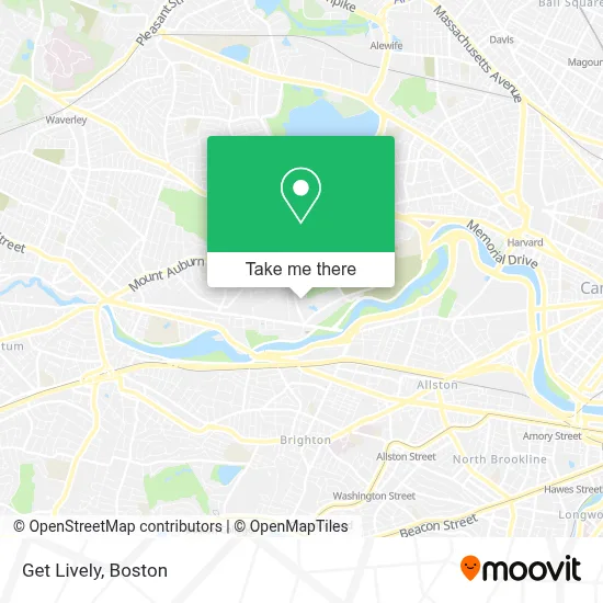
See Get Lively, Watertown Town, on the map
Public Transit to Get Lively in Watertown Town
Wondering how to get to Get Lively in Watertown Town? Moovit helps you find the best way to get to Get Lively with step-by-step directions from the nearest public transit station.
Moovit provides free maps and live directions to help you navigate through your city. View schedules, routes, timetables, and find out how long does it take to get to Get Lively in real time.
Looking for the nearest stop or station to Get Lively? Check out this list of stops closest to your destination: Arsenal St Opp Talcott Ave; N Beacon St @ Goodenough St; Market St @ Lothrop St; Mt Auburn St @ Adams St; Warren Street.
Bus: 70, 64, 86, 71.Train: FRAMINGHAM/WORCESTER.Subway: GREEN LINE B, RED LINE.
Want to see if there’s another route that gets you there at an earlier time? Moovit helps you find alternative routes or times. Get directions from and directions to Get Lively easily from the Moovit App or Website.
We make riding to Get Lively easy, which is why over 1.7 million users, including users in Watertown Town, trust Moovit as the best app for public transit. You don’t need to download an individual bus app or train app, Moovit is your all-in-one transit app that helps you find the best bus time or train time available.
For information on prices of bus, subway and train, costs and ride fares to Get Lively, please check the Moovit app.
Use the app to navigate to popular places including to the airport, hospital, stadium, grocery store, mall, coffee shop, school, college, and university.
Get Lively Address: 25 Clarendon St street in Watertown Town
- Compass Kitchen Designs,
- Target,
- Turo Vehicle Rental,
- Residence Inn by Marriott Boston Watertown,
- Watertown Residence Inn,
- Watertown RMV Service Center,
- Boston Granite Countertops (Watertown Countertops),
- United Rentals,
- DMV Watertown,
- Linx,
- The Home Depot,
- Nichols Locksmith Service,
- The Majestic 7,
- Arsenal Mall,
- Linx Watertown,
- C4 Therapeutics,
- Watertown Mall,
- Arsenal Yards,
- Armenian Relief Society of Eastern USA,
- Roche Bros (Roche Brothers)
Places Near Get Lively (Watertown Town)
- Isabella Stewart Gardner Museum, Boston,
- Wang Theater, Boston,
- House Of Blues, Boston,
- Cheers, Boston,
- Faneuil Hall, Boston,
- Leader Bank Pavilion (Leader Bank Pavillion), Boston,
- Td Garden, Boston,
- Castle Island, Boston,
- Massachusetts General Hospital, Boston,
- Mgm Music Hall, Boston,
- Prudential Center, Boston,
- North End, Boston,
- Museum Of Science, Boston,
- Seaport District, Boston,
- Boston Children's Hospital, Boston,
- Quincy Market, Boston,
- Boston Common, Boston,
- Boston Medical Center, Boston,
- Boston Convention & Exhibition Center, Boston,
- Wilbur Theatre, Boston
How to get to popular places in Boston with public transit
Get around Watertown Town by public transit!
Traveling around Watertown Town has never been so easy. See step by step directions as you travel to any attraction, street or major public transit station. View bus and train schedules, arrival times, service alerts and detailed routes on a map, so you know exactly how to get to anywhere in Watertown Town.
When traveling to any destination around Watertown Town use Moovit's Live Directions with Get Off Notifications to know exactly where and how far to walk, how long to wait for your line, and how many stops are left. Moovit will alert you when it's time to get off — no need to constantly re-check whether yours is the next stop.
Wondering how to use public transit in Watertown Town or how to pay for public transit in Watertown Town? Moovit public transit app can help you navigate your way with public transit easily, and at minimum cost. It includes public transit fees, ticket prices, and costs. Looking for a map of Watertown Town public transit lines? Moovit public transit app shows all public transit maps in Watertown Town with all Bus, Train, Subway and Ferry routes and stops on an interactive map.
Boston has 4 transit type(s), including: Bus, Train, Subway and Ferry, operated by several transit agencies, including MBTA, Southeastern Regional Transit Authority, MetroWest Regional Transit Authority, Rhode Island Public Transit Authority, WRTA, Lowell Regional Transit Authority, Merrimack Valley Transit, Montachusett Regional Transit Authority, Cape Cod Regional Transit Authority, Brockton Area Transit Authority, Martha's Vineyard Transit Authority, the WAVE - Nantucket Regional Transit Authority, GATRA, Cape Ann Transportation Authority and Massport