How to get to Gpbor by bus?
Click on the bus route to see step by step directions with maps, line arrival times and updated time schedules.
Bus stops near Gpbor in Boston
Bus lines to Gpbor in Boston
What are the closest stations to Gpbor?
The closest stations to Gpbor are:
- Dyer After Park is 175 yards away, 3 min walk.
- Reservoir Before High School Avenue is 579 yards away, 7 min walk.
Which bus lines stop near Gpbor?
These bus lines stop near Gpbor: 17, 21, 30.
What’s the nearest bus station to Gpbor in Boston?
The nearest bus station to Gpbor in Boston is Dyer After Park. It’s a 3 min walk away.
What time is the first bus to Gpbor in Boston?
The 17 is the first bus that goes to Gpbor in Boston. It stops nearby at 5:57 AM.
What time is the last bus to Gpbor in Boston?
The 21 is the last bus that goes to Gpbor in Boston. It stops nearby at 10:45 PM.
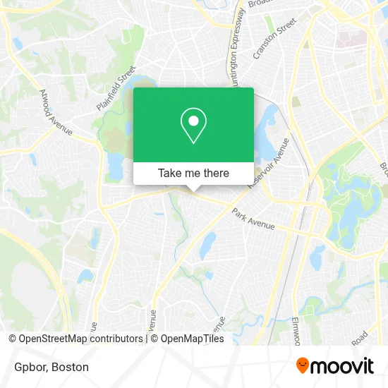
See Gpbor, Boston, on the map
Public Transit to Gpbor in Boston
Wondering how to get to Gpbor in Boston? Moovit helps you find the best way to get to Gpbor with step-by-step directions from the nearest public transit station.
Moovit provides free maps and live directions to help you navigate through your city. View schedules, routes, timetables, and find out how long does it take to get to Gpbor in real time.
Looking for the nearest stop or station to Gpbor? Check out this list of stops closest to your destination: Dyer After Park; Reservoir Before High School Avenue.
Bus: 17, 21, 30.
Want to see if there’s another route that gets you there at an earlier time? Moovit helps you find alternative routes or times. Get directions from and directions to Gpbor easily from the Moovit App or Website.
We make riding to Gpbor easy, which is why over 1.7 million users, including users in Boston, trust Moovit as the best app for public transit. You don’t need to download an individual bus app or train app, Moovit is your all-in-one transit app that helps you find the best bus time or train time available.
For information on prices of bus and train, costs and ride fares to Gpbor, please check the Moovit app.
Use the app to navigate to popular places including to the airport, hospital, stadium, grocery store, mall, coffee shop, school, college, and university.
Gpbor Address: 1169 Park Ave street in Boston
- ADT 24 7 Alarm & Security,
- Personal Touch Cranston,
- Craston Express Car Wash,
- The Korean American Association of Rhode Island - Kaari,
- Macro Bar,
- Salt Micro Spa Cranston,
- Usi Insurance Services of Ct,
- Space Walk of Southeastern Massachusetts & Rhode Island,
- Reyes Tax Services,
- Amazon Counter-Milk & More,
- Accesspoint Ri,
- Wings & Juice Spot,
- Cranston High School East and Cranston High School West,
- Nifty Nail,
- Affordable Locksmith,
- Premier Martial Arts Cranston,
- Cranston Mobile Locksmith Store,
- Lularoe Angela Perry-P,
- Hype DJ Services,
- Tips and Toes Nail Shop
Places Near Gpbor (Boston)
- Castle Island, Boston,
- Boston Common, Boston,
- Quincy Market, Boston,
- Seaport District, Boston,
- Massachusetts General Hospital, Boston,
- House Of Blues, Boston,
- Leader Bank Pavilion (Leader Bank Pavillion), Boston,
- Faneuil Hall, Boston,
- Museum Of Science, Boston,
- Boston Children's Hospital, Boston,
- Mgm Music Hall, Boston,
- Wang Theater, Boston,
- Boston Medical Center, Boston,
- Boston Convention & Exhibition Center, Boston,
- Isabella Stewart Gardner Museum, Boston,
- Td Garden, Boston,
- Prudential Center, Boston,
- Wilbur Theatre, Boston,
- North End, Boston,
- Cheers, Boston
How to get to popular places in Boston with public transit
Get around Boston by public transit!
Traveling around Boston has never been so easy. See step by step directions as you travel to any attraction, street or major public transit station. View bus and train schedules, arrival times, service alerts and detailed routes on a map, so you know exactly how to get to anywhere in Boston.
When traveling to any destination around Boston use Moovit's Live Directions with Get Off Notifications to know exactly where and how far to walk, how long to wait for your line, and how many stops are left. Moovit will alert you when it's time to get off — no need to constantly re-check whether yours is the next stop.
Wondering how to use public transit in Boston or how to pay for public transit in Boston? Moovit public transit app can help you navigate your way with public transit easily, and at minimum cost. It includes public transit fees, ticket prices, and costs. Looking for a map of Boston public transit lines? Moovit public transit app shows all public transit maps in Boston with all Bus, Train, Subway and Ferry routes and stops on an interactive map.
Boston has 4 transit type(s), including: Bus, Train, Subway and Ferry, operated by several transit agencies, including MBTA, Southeastern Regional Transit Authority, MetroWest Regional Transit Authority, Rhode Island Public Transit Authority, WRTA, Lowell Regional Transit Authority, Merrimack Valley Transit, Montachusett Regional Transit Authority, Cape Cod Regional Transit Authority, Brockton Area Transit Authority, Martha's Vineyard Transit Authority, the WAVE - Nantucket Regional Transit Authority, GATRA, Cape Ann Transportation Authority and Massport