Directions to Grocery Associates (Boston) with public transportation
The following transit lines have routes that pass near Grocery Associates
 Bus: 39, 66, 85, 14, 35.
- Train: PROVIDENCE/STOUGHTON.
- Subway: GREEN LINE E, ORANGE LINE.
How to get to Grocery Associates by bus?
Click on the bus route to see step by step directions with maps, line arrival times and updated time schedules.
From USS Constitution, Boston
77 minFrom McLean Hospital, Belmont
89 minFrom Regent Theatre, Arlington
89 minFrom Granite Links Golf Club at Quarry Hills, Quincy
94 minFrom Curry College, Milton
67 minFrom Hyatt Place Medford, Medford
94 minFrom Sunrise Shuttle Pick Up, Boston
64 minFrom Boston Logan International Airport (Bos), Boston
34 min
How to get to Grocery Associates by train?
Click on the train route to see step by step directions with maps, line arrival times and updated time schedules.
How to get to Grocery Associates by subway?
Click on the subway route to see step by step directions with maps, line arrival times and updated time schedules.
Bus stops near Grocery Associates in Boston
Subway stations near Grocery Associates in Boston
Bus lines to Grocery Associates in Boston
What are the closest stations to Grocery Associates?
The closest stations to Grocery Associates are:
- Heath St @ Walden St is 510 yards away, 7 min walk.
- Tremont St @ Saint Alphonsus St is 527 yards away, 7 min walk.
- Huntington Ave Opp Fenwood Rd is 564 yards away, 7 min walk.
- Tremont St @ Tobin Community Center is 618 yards away, 8 min walk.
- Brigham Circle is 653 yards away, 8 min walk.
- Roxbury Crossing is 1208 yards away, 15 min walk.
Which bus lines stop near Grocery Associates?
These bus lines stop near Grocery Associates: 39, 66, 85.
Which train line stops near Grocery Associates?
PROVIDENCE/STOUGHTON (#824 | South Station)
Which subway lines stop near Grocery Associates?
These subway lines stop near Grocery Associates: GREEN LINE E, ORANGE LINE.
What’s the nearest subway station to Grocery Associates in Boston?
The nearest subway station to Grocery Associates in Boston is Brigham Circle. It’s a 8 min walk away.
What’s the nearest bus station to Grocery Associates in Boston?
The nearest bus stations to Grocery Associates in Boston are Heath St @ Walden St, Tremont St @ Saint Alphonsus St and Huntington Ave Opp Fenwood Rd. The closest one is a 7 min walk away.
What time is the first subway to Grocery Associates in Boston?
The ORANGE LINE is the first subway that goes to Grocery Associates in Boston. It stops nearby at 5:22 AM.
What time is the last subway to Grocery Associates in Boston?
The GREEN LINE E is the last subway that goes to Grocery Associates in Boston. It stops nearby at 2:01 AM.
What time is the first bus to Grocery Associates in Boston?
The 39 is the first bus that goes to Grocery Associates in Boston. It stops nearby at 4:49 AM.
What time is the last bus to Grocery Associates in Boston?
The 66 is the last bus that goes to Grocery Associates in Boston. It stops nearby at 2:26 AM.
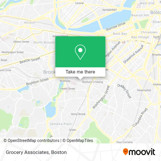
See Grocery Associates, Boston, on the map
Public Transit to Grocery Associates in Boston
Wondering how to get to Grocery Associates in Boston? Moovit helps you find the best way to get to Grocery Associates with step-by-step directions from the nearest public transit station.
Moovit provides free maps and live directions to help you navigate through your city. View schedules, routes, timetables, and find out how long does it take to get to Grocery Associates in real time.
Looking for the nearest stop or station to Grocery Associates? Check out this list of stops closest to your destination: Heath St @ Walden St; Tremont St @ Saint Alphonsus St; Huntington Ave Opp Fenwood Rd; Tremont St @ Tobin Community Center; Brigham Circle; Roxbury Crossing.
Bus: 39, 66, 85, 14, 35, GREEN LINE E SHUTTLE, GREEN LINE E SHUTTLE, 19.Train: PROVIDENCE/STOUGHTON.Subway: GREEN LINE E, ORANGE LINE.
Want to see if there’s another route that gets you there at an earlier time? Moovit helps you find alternative routes or times. Get directions from and directions to Grocery Associates easily from the Moovit App or Website.
We make riding to Grocery Associates easy, which is why over 1.7 million users, including users in Boston, trust Moovit as the best app for public transit. You don’t need to download an individual bus app or train app, Moovit is your all-in-one transit app that helps you find the best bus time or train time available.
For information on prices of bus, subway and train, costs and ride fares to Grocery Associates, please check the Moovit app.
Use the app to navigate to popular places including to the airport, hospital, stadium, grocery store, mall, coffee shop, school, college, and university.
Grocery Associates Address: 82 Hillside St street in Boston
- Tom Cruz Productions,
- 21 Iroquois St Parking,
- Boston Art Review,
- 37 Hillside St Parking,
- geometry.xxx,
- Car Parking,
- Brigham Circle / Obc Retail Lot,
- Canna Nation,
- Kush Groove,
- Medical Center of Boston,
- Carl T Talmo MD,
- Baptist Hospital,
- Eric J Woodard MD (Robert J Banco MD),
- Gordon Tree & Landscaping,
- Citibank,
- Fenway High School,
- 1 Darling Apartments,
- Philip Mahoney,
- Hayden Box, MD,
- Insurance Covered Chiropractic Care
Places Near Grocery Associates (Boston)
- Seaport District, Boston,
- Quincy Market, Boston,
- Isabella Stewart Gardner Museum, Boston,
- Cheers, Boston,
- Boston Medical Center, Boston,
- Castle Island, Boston,
- Wilbur Theatre, Boston,
- Faneuil Hall, Boston,
- Boston Children's Hospital, Boston,
- Mgm Music Hall, Boston,
- Museum Of Science, Boston,
- Leader Bank Pavilion (Leader Bank Pavillion), Boston,
- Prudential Center, Boston,
- Massachusetts General Hospital, Boston,
- Boston Convention & Exhibition Center, Boston,
- Wang Theater, Boston,
- North End, Boston,
- House Of Blues, Boston,
- Td Garden, Boston,
- Boston Common, Boston
How to get to popular places in Boston with public transit
Get around Boston by public transit!
Traveling around Boston has never been so easy. See step by step directions as you travel to any attraction, street or major public transit station. View bus and train schedules, arrival times, service alerts and detailed routes on a map, so you know exactly how to get to anywhere in Boston.
When traveling to any destination around Boston use Moovit's Live Directions with Get Off Notifications to know exactly where and how far to walk, how long to wait for your line, and how many stops are left. Moovit will alert you when it's time to get off — no need to constantly re-check whether yours is the next stop.
Wondering how to use public transit in Boston or how to pay for public transit in Boston? Moovit public transit app can help you navigate your way with public transit easily, and at minimum cost. It includes public transit fees, ticket prices, and costs. Looking for a map of Boston public transit lines? Moovit public transit app shows all public transit maps in Boston with all Bus, Train, Subway and Ferry routes and stops on an interactive map.
Boston has 4 transit type(s), including: Bus, Train, Subway and Ferry, operated by several transit agencies, including MBTA, Southeastern Regional Transit Authority, MetroWest Regional Transit Authority, Rhode Island Public Transit Authority, WRTA, Lowell Regional Transit Authority, Merrimack Valley Transit, Montachusett Regional Transit Authority, Cape Cod Regional Transit Authority, Brockton Area Transit Authority, Martha's Vineyard Transit Authority, the WAVE - Nantucket Regional Transit Authority, GATRA, Cape Ann Transportation Authority and Massport