How to get to Kathiadress by bus?
Click on the bus route to see step by step directions with maps, line arrival times and updated time schedules.
From 197 Friend St, Boston
40 minFrom Hilton Garden Inn Boston Logan Airport, Boston
66 minFrom Theatre District, Boston
54 minFrom Boston Convention & Exhibition Center, Boston
79 minFrom Fire & Ice (Fire Ice Restaurant), Boston
72 minFrom Park Plaza Castle, Boston
59 minFrom The Westin Boston Seaport District, Boston
57 minFrom The Westin Boston Waterfront, Boston
57 minFrom Bunker Hill Monument, Boston
68 minFrom John Joseph Moakley Us Courthouse, Boston
52 min
Bus stops near Kathiadress in Malden
Train station near Kathiadress in Malden
- Oak Grove, 12 min walk,VIEW
Bus lines to Kathiadress in Malden
What are the closest stations to Kathiadress?
The closest stations to Kathiadress are:
- Broadway Opp Cliffside Commons is 249 yards away, 3 min walk.
- Beach St @ Clapp St is 367 yards away, 5 min walk.
- Kennedy Dr @ Bldg 142 is 432 yards away, 6 min walk.
- Oak Grove is 1015 yards away, 12 min walk.
Which bus lines stop near Kathiadress?
These bus lines stop near Kathiadress: 108, 109, 411, 426, 430.
What’s the nearest train station to Kathiadress in Malden?
The nearest train station to Kathiadress in Malden is Oak Grove. It’s a 12 min walk away.
What’s the nearest bus station to Kathiadress in Malden?
The nearest bus station to Kathiadress in Malden is Broadway Opp Cliffside Commons. It’s a 3 min walk away.
What time is the first subway to Kathiadress in Malden?
The ORANGE LINE is the first subway that goes to Kathiadress in Malden. It stops nearby at 5:15 AM.
What time is the last subway to Kathiadress in Malden?
The ORANGE LINE is the last subway that goes to Kathiadress in Malden. It stops nearby at 1:59 AM.
What time is the first train to Kathiadress in Malden?
The HAVERHILL is the first train that goes to Kathiadress in Malden. It stops nearby at 5:35 AM.
What time is the last train to Kathiadress in Malden?
The HAVERHILL is the last train that goes to Kathiadress in Malden. It stops nearby at 11:53 PM.
What time is the first bus to Kathiadress in Malden?
The 108 is the first bus that goes to Kathiadress in Malden. It stops nearby at 5:16 AM.
What time is the last bus to Kathiadress in Malden?
The 108 is the last bus that goes to Kathiadress in Malden. It stops nearby at 1:44 AM.
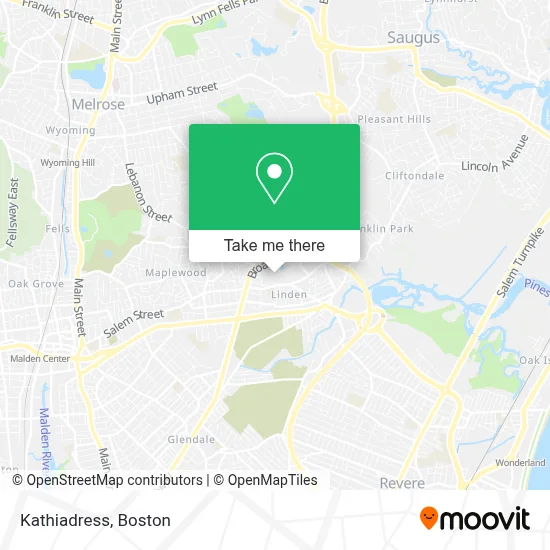
See Kathiadress, Malden, on the map
Public Transit to Kathiadress in Malden
Wondering how to get to Kathiadress in Malden? Moovit helps you find the best way to get to Kathiadress with step-by-step directions from the nearest public transit station.
Moovit provides free maps and live directions to help you navigate through your city. View schedules, routes, timetables, and find out how long does it take to get to Kathiadress in real time.
Looking for the nearest stop or station to Kathiadress? Check out this list of stops closest to your destination: Broadway Opp Cliffside Commons; Beach St @ Clapp St; Kennedy Dr @ Bldg 142; Oak Grove.
Bus: 108, 109, 411, 426, 430, 428.Train: HAVERHILL, ORANGE LINE.
Want to see if there’s another route that gets you there at an earlier time? Moovit helps you find alternative routes or times. Get directions from and directions to Kathiadress easily from the Moovit App or Website.
We make riding to Kathiadress easy, which is why over 1.7 million users, including users in Malden, trust Moovit as the best app for public transit. You don’t need to download an individual bus app or train app, Moovit is your all-in-one transit app that helps you find the best bus time or train time available.
For information on prices of bus and subway, costs and ride fares to Kathiadress, please check the Moovit app.
Use the app to navigate to popular places including to the airport, hospital, stadium, grocery store, mall, coffee shop, school, college, and university.
Kathiadress Address: 244 Kennedy Dr street in Malden
- Bread Alho,
- Men's Revolutionary 2-Step Skin Care System,
- Altitude Apartments,
- Linden STEAM Academy,
- Graphic Studio,
- TLS Boston,
- Tire Center William LL,
- Malden Neighborhood Baske,
- ChargePoint,
- Antique Furniture Restoration Boston by Rafael Oganyan,
- Royalty Spa,
- MH Contracting,
- Tan,
- Broadway Inn,
- OYO Hotel Malden MA Broadway,
- Econo Lodge,
- Salem Realty Trust,
- Maplewood Wellness Pharmacy,
- Health Mart Pharmacy,
- Denise Photographer
Places Near Kathiadress (Malden)
- Boston Convention & Exhibition Center, Boston,
- North End, Boston,
- Faneuil Hall, Boston,
- Mgm Music Hall, Boston,
- Isabella Stewart Gardner Museum, Boston,
- House Of Blues, Boston,
- Leader Bank Pavilion (Leader Bank Pavillion), Boston,
- Td Garden, Boston,
- Seaport District, Boston,
- Boston Children's Hospital, Boston,
- Museum Of Science, Boston,
- Boston Common, Boston,
- Cheers, Boston,
- Quincy Market, Boston,
- Prudential Center, Boston,
- Castle Island, Boston,
- Wang Theater, Boston,
- Wilbur Theatre, Boston,
- Boston Medical Center, Boston,
- Massachusetts General Hospital, Boston
How to get to popular places in Boston with public transit
Get around Malden by public transit!
Traveling around Malden has never been so easy. See step by step directions as you travel to any attraction, street or major public transit station. View bus and train schedules, arrival times, service alerts and detailed routes on a map, so you know exactly how to get to anywhere in Malden.
When traveling to any destination around Malden use Moovit's Live Directions with Get Off Notifications to know exactly where and how far to walk, how long to wait for your line, and how many stops are left. Moovit will alert you when it's time to get off — no need to constantly re-check whether yours is the next stop.
Wondering how to use public transit in Malden or how to pay for public transit in Malden? Moovit public transit app can help you navigate your way with public transit easily, and at minimum cost. It includes public transit fees, ticket prices, and costs. Looking for a map of Malden public transit lines? Moovit public transit app shows all public transit maps in Malden with all Bus, Train, Subway and Ferry routes and stops on an interactive map.
Boston has 4 transit type(s), including: Bus, Train, Subway and Ferry, operated by several transit agencies, including MBTA, Southeastern Regional Transit Authority, MetroWest Regional Transit Authority, Rhode Island Public Transit Authority, WRTA, Lowell Regional Transit Authority, Merrimack Valley Transit, Montachusett Regional Transit Authority, Cape Cod Regional Transit Authority, Brockton Area Transit Authority, Martha's Vineyard Transit Authority, the WAVE - Nantucket Regional Transit Authority, GATRA, Cape Ann Transportation Authority and Massport