How to get to Keyme Locksmiths by bus?
Click on the bus route to see step by step directions with maps, line arrival times and updated time schedules.
From Charlestown Navy Yard, Boston
64 minFrom Sarma, Somerville
63 minFrom Rental Car Center - Logan Airport, Boston
63 minFrom Lynn, MA, Lynn
42 minFrom Nahant Beach, Nahant
59 minFrom Winter Hill, Somerville
57 minFrom USS Constitution, Boston
65 minFrom Bunker Hill Monument, Boston
63 minFrom 7F Everett Street, Revere
71 minFrom Stone Zoo, Stoneham
50 min
Bus stops near Keyme Locksmiths in Saugus
Bus lines to Keyme Locksmiths in Saugus
What are the closest stations to Keyme Locksmiths?
The closest stations to Keyme Locksmiths are:
- Opp 190 Main St is 561 yards away, 7 min walk.
- Main St @ Pierce Memorial Dr is 1001 yards away, 13 min walk.
- Main St Opp Pierce Memorial Dr is 1004 yards away, 13 min walk.
Which bus lines stop near Keyme Locksmiths?
These bus lines stop near Keyme Locksmiths: 429, 430.
What’s the nearest bus station to Keyme Locksmiths in Saugus?
The nearest bus station to Keyme Locksmiths in Saugus is Opp 190 Main St. It’s a 7 min walk away.
What time is the first bus to Keyme Locksmiths in Saugus?
The 429 is the first bus that goes to Keyme Locksmiths in Saugus. It stops nearby at 5:55 AM.
What time is the last bus to Keyme Locksmiths in Saugus?
The 429 is the last bus that goes to Keyme Locksmiths in Saugus. It stops nearby at 10:43 PM.
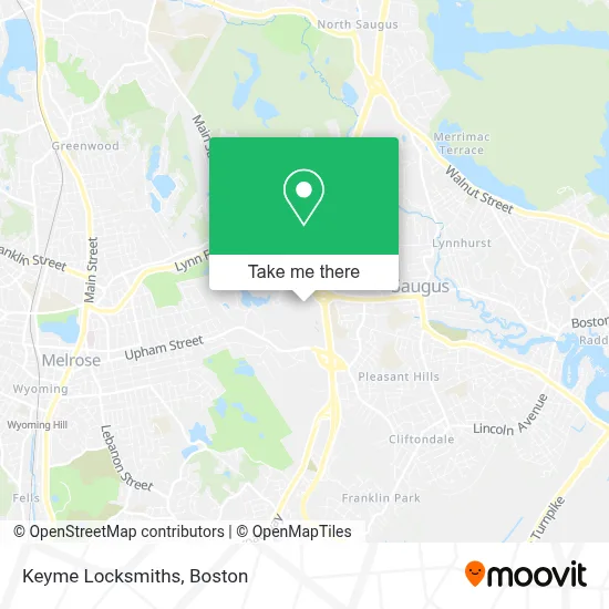
See Keyme Locksmiths, Saugus, on the map
Public Transit to Keyme Locksmiths in Saugus
Wondering how to get to Keyme Locksmiths in Saugus? Moovit helps you find the best way to get to Keyme Locksmiths with step-by-step directions from the nearest public transit station.
Moovit provides free maps and live directions to help you navigate through your city. View schedules, routes, timetables, and find out how long does it take to get to Keyme Locksmiths in real time.
Looking for the nearest stop or station to Keyme Locksmiths? Check out this list of stops closest to your destination: Opp 190 Main St; Main St @ Pierce Memorial Dr; Main St Opp Pierce Memorial Dr.
Bus: 429, 430, 428.
Want to see if there’s another route that gets you there at an earlier time? Moovit helps you find alternative routes or times. Get directions from and directions to Keyme Locksmiths easily from the Moovit App or Website.
We make riding to Keyme Locksmiths easy, which is why over 1.7 million users, including users in Saugus, trust Moovit as the best app for public transit. You don’t need to download an individual bus app or train app, Moovit is your all-in-one transit app that helps you find the best bus time or train time available.
For information on prices of bus and subway, costs and ride fares to Keyme Locksmiths, please check the Moovit app.
Use the app to navigate to popular places including to the airport, hospital, stadium, grocery store, mall, coffee shop, school, college, and university.
Keyme Locksmiths Address: 164 Main St street in Saugus
- Saugus Rug Cleaning,
- KeyMe,
- Bank of America,
- SBARRO,
- Drain,
- Long Distance Moving Services,
- Simon Malls,
- Sqaure One Mall,
- Route 1 South (Saugus),
- Dellaria Salon,
- Go the Game Store,
- Pandora,
- MAC,
- Verizon Wireless,
- K B Toys,
- Track23,
- Track23 (Track 23),
- Macy's,
- Toys"R"Us,
- Samsonite
Places Near Keyme Locksmiths (Saugus)
- Td Garden, Boston,
- Boston Convention & Exhibition Center, Boston,
- Castle Island, Boston,
- Cheers, Boston,
- Wilbur Theatre, Boston,
- Boston Children's Hospital, Boston,
- Quincy Market, Boston,
- North End, Boston,
- Mgm Music Hall, Boston,
- Wang Theater, Boston,
- Prudential Center, Boston,
- Seaport District, Boston,
- Leader Bank Pavilion (Leader Bank Pavillion), Boston,
- Museum Of Science, Boston,
- Massachusetts General Hospital, Boston,
- Boston Common, Boston,
- House Of Blues, Boston,
- Isabella Stewart Gardner Museum, Boston,
- Faneuil Hall, Boston,
- Boston Medical Center, Boston
How to get to popular places in Boston with public transit
Get around Saugus by public transit!
Traveling around Saugus has never been so easy. See step by step directions as you travel to any attraction, street or major public transit station. View bus and train schedules, arrival times, service alerts and detailed routes on a map, so you know exactly how to get to anywhere in Saugus.
When traveling to any destination around Saugus use Moovit's Live Directions with Get Off Notifications to know exactly where and how far to walk, how long to wait for your line, and how many stops are left. Moovit will alert you when it's time to get off — no need to constantly re-check whether yours is the next stop.
Wondering how to use public transit in Saugus or how to pay for public transit in Saugus? Moovit public transit app can help you navigate your way with public transit easily, and at minimum cost. It includes public transit fees, ticket prices, and costs. Looking for a map of Saugus public transit lines? Moovit public transit app shows all public transit maps in Saugus with all Bus, Train, Subway and Ferry routes and stops on an interactive map.
Boston has 4 transit type(s), including: Bus, Train, Subway and Ferry, operated by several transit agencies, including MBTA, Southeastern Regional Transit Authority, MetroWest Regional Transit Authority, Rhode Island Public Transit Authority, WRTA, Lowell Regional Transit Authority, Merrimack Valley Transit, Montachusett Regional Transit Authority, Cape Cod Regional Transit Authority, Brockton Area Transit Authority, Martha's Vineyard Transit Authority, the WAVE - Nantucket Regional Transit Authority, GATRA, Cape Ann Transportation Authority and Massport