How to get to MB Auto by bus?
Click on the bus route to see step by step directions with maps, line arrival times and updated time schedules.
From Settignano, Florence
73 minFrom Calenzano, Calenzano
94 minFrom Firenze North Service Area, Sesto Fiorentino
101 minFrom I Gigli Shopping Center, Campi Bisenzio
95 minFrom Aretina Street, Florence
63 minFrom Florence Le Cure, Florence
42 minFrom Augusto Novelli Street, Florence
45 minFrom Trespiano, Florence
73 minFrom Agnolo Street, Florence
38 minFrom Basilica of Holy Cross, Florence
41 min
Bus stops near MB Auto in Scandicci
Light Rail stations near MB Auto in Scandicci
- Nenni - Torregalli, 7 min walk,VIEW
Bus lines to MB Auto in Scandicci
What are the closest stations to MB Auto?
The closest stations to MB Auto are:
- Ronco Lungo Road is 46 meters away, 1 min walk.
- Nenni Boulevard is 443 meters away, 6 min walk.
- Nenni - Torregalli is 465 meters away, 7 min walk.
- Scandicci Torre Galli is 494 meters away, 7 min walk.
- Scandicci Amendola is 499 meters away, 7 min walk.
- Scandicci di Soffiano is 877 meters away, 12 min walk.
Which bus line stops near MB Auto?
6 (Torre Galli Hospital)
Which light rail line stops near MB Auto?
T1 (Villa Costanza)
What’s the nearest light rail station to MB Auto in Scandicci?
The nearest light rail station to MB Auto in Scandicci is Nenni - Torregalli. It’s a 7 min walk away.
What’s the nearest bus station to MB Auto in Scandicci?
The nearest bus station to MB Auto in Scandicci is Ronco Lungo Road. It’s a 1 min walk away.
What time is the first light rail to MB Auto in Scandicci?
The T2 is the first light rail that goes to MB Auto in Scandicci. It stops nearby at 4:36 AM.
What time is the last light rail to MB Auto in Scandicci?
The T2 is the last light rail that goes to MB Auto in Scandicci. It stops nearby at 1:02 AM.
What time is the first bus to MB Auto in Scandicci?
The 6 is the first bus that goes to MB Auto in Scandicci. It stops nearby at 6:15 AM.
What time is the last bus to MB Auto in Scandicci?
The 6 is the last bus that goes to MB Auto in Scandicci. It stops nearby at 12:37 AM.
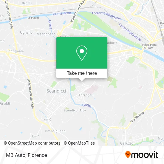
See MB Auto, Scandicci, on the map
Public Transit to MB Auto in Scandicci
Wondering how to get to MB Auto in Scandicci? Moovit helps you find the best way to get to MB Auto with step-by-step directions from the nearest public transit station.
Moovit provides free maps and live directions to help you navigate through your city. View schedules, routes, timetables, and find out how long does it take to get to MB Auto in real time.
Looking for the nearest stop or station to MB Auto? Check out this list of stops closest to your destination: Ronco Lungo Road; Nenni Boulevard; Nenni - Torregalli; Scandicci Torre Galli; Scandicci Amendola; Scandicci di Soffiano.
Bus: 6, 27, 46, 72, 26, 83, 371 A, 93.Light Rail: T1.
Want to see if there’s another route that gets you there at an earlier time? Moovit helps you find alternative routes or times. Get directions from and directions to MB Auto easily from the Moovit App or Website.
We make riding to MB Auto easy, which is why over 1.5 million users, including users in Scandicci, trust Moovit as the best app for public transit. You don’t need to download an individual bus app or train app, Moovit is your all-in-one transit app that helps you find the best bus time or train time available.
For information on prices of bus, light rail and train, costs and ride fares to MB Auto, please check the Moovit app.
Use the app to navigate to popular places including to the airport, hospital, stadium, grocery store, mall, coffee shop, school, college, and university.
MB Auto Address: Stradone dell'Ospedale, 30 50143 Firenze street in Scandicci
- Ariani Transport by Quaranta Laura & Co,
- Irene Beni,
- Auto Service Revisions Workshop for Cars and Motorcycles,
- AG Technology Florence by Giorgi Alexander,
- Via San Giusto Street,
- Mencherini Stefano,
- Martini Architecture Design Studio,
- Dr. Squilloni Paola,
- B&B Degl'Innocenti Pastry Shop,
- Federico Cavicchioli Photography,
- San Giusto Street 2,
- Palafilarete,
- Nenni - Torregalli (Wolves of Tuscany),
- T1 - Nenni Torregalli,
- Traditional Acupuncture School of Florence City,
- Hospital Road / Pietro Nenni Avenue,
- Amazon Locker-Rao,
- Eni,
- Bar Nenni 39,
- Florence Carbon Design Body Kit PORSCHE
Places Near MB Auto (Scandicci)
- I Gigli, Campi Bisenzio,
- Michelangelo Square, Florence,
- Nelson Mandela Forum, Florence,
- Verdi Theater, Florence,
- Wanny Palace, Florence,
- Torregalli Hospital Scandicci *, Scandicci,
- Michelangelo Square, Florence,
- Viola Park, Bagno a Ripoli,
- Mandela Forum (Nelson Mandela Forum), Florence,
- Artemio Franchi Municipal Stadium, Florence,
- Campi Bisenzio, Campi Bisenzio,
- Cascine Park, Florence,
- OOO, Florence,
- Piero Palagi Hospital Facility-Florence, Florence,
- IKEA Florence, Sesto Fiorentino,
- Asmana, Campi Bisenzio,
- Field of Mars, Florence,
- Santa Maria Nuova Hospital, Florence,
- Tobacco Manufacture, Florence,
- Santa Maria Novella Station, Florence
How to get to popular places in Florence with public transit
Get around Scandicci by public transit!
Traveling around Scandicci has never been so easy. See step by step directions as you travel to any attraction, street or major public transit station. View bus and train schedules, arrival times, service alerts and detailed routes on a map, so you know exactly how to get to anywhere in Scandicci.
When traveling to any destination around Scandicci use Moovit's Live Directions with Get Off Notifications to know exactly where and how far to walk, how long to wait for your line, and how many stops are left. Moovit will alert you when it's time to get off — no need to constantly re-check whether yours is the next stop.
Wondering how to use public transit in Scandicci or how to pay for public transit in Scandicci? Moovit public transit app can help you navigate your way with public transit easily, and at minimum cost. It includes public transit fees, ticket prices, and costs. Looking for a map of Scandicci public transit lines? Moovit public transit app shows all public transit maps in Scandicci with all Bus, Train, Light Rail, Ferry and Funicular routes and stops on an interactive map.
Florence has 5 transit type(s), including: Bus, Train, Light Rail, Ferry and Funicular, operated by several transit agencies, including Florence Urban - Tuscan Bus Lines, GEST, Florence and Province - Tuscan Bus Lines, Livorno and Province - Tuscan Bus Lines, Arezzo, Florence and Provinces - Tuscan Bus Lines, Prato and Province - Tuscan Bus Lines, Massa, Carrara and Province - Tuscan Bus Lines, Pisa and Province - Tuscan Bus Lines, Grosseto, Siena and Provinces - Tuscan Bus Lines, Arezzo, Siena and Provinces - Tuscan Bus Lines, Pistoia and Province - Tuscan Bus Lines, Siena and Province - Tuscan Bus Lines, Arezzo and Province - Tuscan Bus Lines, Lucca and Province - Tuscan Bus Lines and Trenitalia