Malauzat stop - Tuesday schedule
| Line | Direction | Time |
|---|---|---|
| P64 | Chamalières Vers Enval | 17:55 |
| P64 | Chamalières Vers Enval | 18:55 |
Directions to Malauzat stop (Clermont Ferrand) with public transit
The following transit lines have routes that pass near Malauzat
How to get to Malauzat stop by bus?
Click on the bus route to see step by step directions with maps, line arrival times and updated time schedules.
Which bus lines stop near Malauzat?
These bus lines stop near Malauzat: 31, 32.
See Malauzat stop, Clermont Ferrand, on the map
Public transit to Malauzat stop in Clermont Ferrand
Looking for directions to Malauzat in Clermont Ferrand, France?
Download the Moovit App to find the current schedule and step-by-step directions for Bus or Light Rail routes that pass through Malauzat.
Bus: 31, 32.
We make riding on public transit to Malauzat easy, which is why over 1.5 million users, including users in Clermont Ferrand trust Moovit as the best app for public transit.
Use the app to navigate to popular places including to the airport, hospital, stadium, grocery store, mall, coffee shop, school, college, and university.
The first line to this stop is P64, at 17:55, and the last line is P64 at 18:55.
Place Saint-Simon, Malauzat, France
This stop serves Cars Région Puy de Dôme’s lines
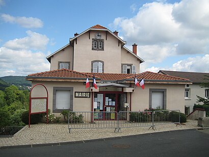
Malauzat (French pronunciation: [maloza]) is a commune in the Puy-de-Dôme department in Auvergne in central France.Wiki
Popular public transit stations in Clermont Ferrand
Get around Clermont Ferrand by public transit!
Traveling around Clermont Ferrand has never been so easy. See step by step directions as you travel to any attraction, street or major public transit station. View bus and train schedules, arrival times, service alerts and detailed routes on a map, so you know exactly how to get to anywhere in Clermont Ferrand.
When traveling to any destination around Clermont Ferrand use Moovit's Live Directions with Get Off Notifications to know exactly where and how far to walk, how long to wait for your line, and how many stops are left. Moovit will alert you when it's time to get off — no need to constantly re-check whether yours is the next stop.
Wondering how to use public transit in Clermont Ferrand or how to pay for public transit in Clermont Ferrand? Moovit public transit app can help you navigate your way with public transit easily, and at minimum cost. It includes public transit fees, ticket prices, and costs. Looking for a map of Clermont Ferrand public transit lines? Moovit public transit app shows all public transit maps in Clermont Ferrand with all Bus, Train and Light Rail routes and stops on an interactive map.
Clermont Ferrand has 3 transit type(s), including: Bus, Train and Light Rail, operated by several transit agencies, including Cars Région Puy de Dôme, TC Dôme, RLV Mobilités, SMTUT, SNCF VOYAGEURS, OCEdefault, Conseil Régional Auvergne - Rhône-Alpes, T2C and Mobivie