Directions to Maybury Material Handling (Boston) with public transportation
The following transit lines have routes that pass near Maybury Material Handling
 Bus: G2.
How to get to Maybury Material Handling by bus?
Click on the bus route to see step by step directions with maps, line arrival times and updated time schedules.
From Dcu Center, Worcester
167 minFrom Worcester, MA, Worcester
165 minFrom Walmart Supercenter, Worcester
224 minFrom South High Community School, Worcester
262 minFrom Registry Of Motor Vehicles (Rmv) Branch Office, Worcester
169 minFrom St Vincent Hospital TH Medical, Worcester
165 minFrom Polar Park, Worcester
167 minFrom Palladium, Worcester
170 min
Bus stop near Maybury Material Handling in Boston
- Denslow / Shaker, 10 min walk,VIEW
Bus lines to Maybury Material Handling in Boston
- G2, Dwight / Benton Via Belmont,VIEW
What are the closest stations to Maybury Material Handling?
The closest stations to Maybury Material Handling are:
- Denslow / Shaker is 779 yards away, 10 min walk.
Which bus line stops near Maybury Material Handling?
G2 (Dwight / Benton Via Belmont)
What’s the nearest bus station to Maybury Material Handling in Boston?
The nearest bus station to Maybury Material Handling in Boston is Denslow / Shaker. It’s a 10 min walk away.
What time is the first bus to Maybury Material Handling in Boston?
The G2 is the first bus that goes to Maybury Material Handling in Boston. It stops nearby at 5:40 AM.
What time is the last bus to Maybury Material Handling in Boston?
The G2 is the last bus that goes to Maybury Material Handling in Boston. It stops nearby at 6:05 PM.
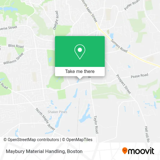
See Maybury Material Handling, Boston, on the map
Public Transit to Maybury Material Handling in Boston
Wondering how to get to Maybury Material Handling in Boston? Moovit helps you find the best way to get to Maybury Material Handling with step-by-step directions from the nearest public transit station.
Moovit provides free maps and live directions to help you navigate through your city. View schedules, routes, timetables, and find out how long does it take to get to Maybury Material Handling in real time.
Looking for the nearest stop or station to Maybury Material Handling? Check out this list of stops closest to your destination: Denslow / Shaker.
Bus: G2.
Want to see if there’s another route that gets you there at an earlier time? Moovit helps you find alternative routes or times. Get directions from and directions to Maybury Material Handling easily from the Moovit App or Website.
We make riding to Maybury Material Handling easy, which is why over 1.7 million users, including users in Boston, trust Moovit as the best app for public transit. You don’t need to download an individual bus app or train app, Moovit is your all-in-one transit app that helps you find the best bus time or train time available.
For information on prices of bus, costs and ride fares to Maybury Material Handling, please check the Moovit app.
Use the app to navigate to popular places including to the airport, hospital, stadium, grocery store, mall, coffee shop, school, college, and university.
Maybury Material Handling Address: 90 Denslow Rd street in Boston
- Sullivan Paper Company,
- Hasbro,
- Blake Student Commons,
- Jawbuck Brook Reservoir,
- US Oil,
- The Otto Companies,
- RockTenn,
- Jersey Specialty Co.,
- Terminal Logistics,
- Jafra Cosmetics,
- Twin Hills Country Club,
- Mls Property Information Network, Inc.,
- Fields at Chestnut,
- Dan Roulier & Associates,
- Dave's Creative,
- Northstar Network Group,
- Lenox American Saw & Manufacturing Company,
- Whitestone Partners,
- Franconia Substation,
- Shaker Bowl
Places Near Maybury Material Handling (Boston)
- Wilbur Theatre, Boston,
- Seaport District, Boston,
- Boston Common, Boston,
- Leader Bank Pavilion (Leader Bank Pavillion), Boston,
- House Of Blues, Boston,
- Mgm Music Hall, Boston,
- Boston Medical Center, Boston,
- Boston Children's Hospital, Boston,
- Quincy Market, Boston,
- Massachusetts General Hospital, Boston,
- Td Garden, Boston,
- Isabella Stewart Gardner Museum, Boston,
- Cheers, Boston,
- North End, Boston,
- Museum Of Science, Boston,
- Prudential Center, Boston,
- Castle Island, Boston,
- Wang Theater, Boston,
- Faneuil Hall, Boston,
- Boston Convention & Exhibition Center, Boston
How to get to popular places in Boston with public transit
Get around Boston by public transit!
Traveling around Boston has never been so easy. See step by step directions as you travel to any attraction, street or major public transit station. View bus and train schedules, arrival times, service alerts and detailed routes on a map, so you know exactly how to get to anywhere in Boston.
When traveling to any destination around Boston use Moovit's Live Directions with Get Off Notifications to know exactly where and how far to walk, how long to wait for your line, and how many stops are left. Moovit will alert you when it's time to get off — no need to constantly re-check whether yours is the next stop.
Wondering how to use public transit in Boston or how to pay for public transit in Boston? Moovit public transit app can help you navigate your way with public transit easily, and at minimum cost. It includes public transit fees, ticket prices, and costs. Looking for a map of Boston public transit lines? Moovit public transit app shows all public transit maps in Boston with all Bus, Train, Subway and Ferry routes and stops on an interactive map.
Boston has 4 transit type(s), including: Bus, Train, Subway and Ferry, operated by several transit agencies, including MBTA, Southeastern Regional Transit Authority, MetroWest Regional Transit Authority, Rhode Island Public Transit Authority, WRTA, Lowell Regional Transit Authority, Merrimack Valley Transit, Montachusett Regional Transit Authority, Cape Cod Regional Transit Authority, Brockton Area Transit Authority, Martha's Vineyard Transit Authority, the WAVE - Nantucket Regional Transit Authority, GATRA, Cape Ann Transportation Authority and Massport