Directions to Metro West Collaborative Development (Newton) with public transportation
The following transit lines have routes that pass near Metro West Collaborative Development
 Bus: 556, 558, 59.
- Train: FITCHBURG, FRAMINGHAM/WORCESTER.
- Subway: GREEN LINE D.
How to get to Metro West Collaborative Development by bus?
Click on the bus route to see step by step directions with maps, line arrival times and updated time schedules.
From Atlantic Fish Co, Boston
26 minFrom Astrazeneca Hope Lodge, Boston
62 minFrom Boston Marriott Newton, Newton
26 minFrom Cambria Hotel Boston Somerville, Somerville
77 minFrom Boston Scientific Shuttle: Prudential Center Stop, Boston
28 minFrom Eataly, Boston
27 minFrom O'Bryant High School, Boston
87 minFrom Trident Booksellers & Cafe, Boston
33 minFrom Harvard Business School, Boston
35 minFrom The Colonnade Hotel Boston, Boston
27 min
How to get to Metro West Collaborative Development by train?
Click on the train route to see step by step directions with maps, line arrival times and updated time schedules.
From Atlantic Fish Co, Boston
51 minFrom Boston Marriott Newton, Newton
43 minFrom Cambria Hotel Boston Somerville, Somerville
75 minFrom Boston Scientific Shuttle: Prudential Center Stop, Boston
52 minFrom Eataly, Boston
50 minFrom O'Bryant High School, Boston
140 minFrom Trident Booksellers & Cafe, Boston
54 minFrom The Colonnade Hotel Boston, Boston
51 min
Subway station near Metro West Collaborative Development in Newton
- Newton Centre, 1 min walk,VIEW
Bus stops near Metro West Collaborative Development in Newton
Train stations near Metro West Collaborative Development in Newton
Bus lines to Metro West Collaborative Development in Newton
What are the closest stations to Metro West Collaborative Development?
The closest stations to Metro West Collaborative Development are:
- Newton Centre is 77 yards away, 1 min walk.
- Adams St @ Watertown St is 139 yards away, 2 min walk.
- Watertown St @ Adams St is 157 yards away, 2 min walk.
- Newtonville is 196 yards away, 3 min walk.
- Waltham is 458 yards away, 6 min walk.
Which bus lines stop near Metro West Collaborative Development?
These bus lines stop near Metro West Collaborative Development: 556, 558, 59.
Which train lines stop near Metro West Collaborative Development?
These train lines stop near Metro West Collaborative Development: FITCHBURG, FRAMINGHAM/WORCESTER.
What’s the nearest subway station to Metro West Collaborative Development in Newton?
The nearest subway station to Metro West Collaborative Development in Newton is Newton Centre. It’s a 1 min walk away.
What’s the nearest train station to Metro West Collaborative Development in Newton?
The nearest train station to Metro West Collaborative Development in Newton is Newtonville. It’s a 3 min walk away.
What’s the nearest bus station to Metro West Collaborative Development in Newton?
The nearest bus stations to Metro West Collaborative Development in Newton are Adams St @ Watertown St and Watertown St @ Adams St. The closest one is a 2 min walk away.
What time is the first subway to Metro West Collaborative Development in Newton?
The GREEN LINE D is the first subway that goes to Metro West Collaborative Development in Newton. It stops nearby at 4:54 AM.
What time is the last subway to Metro West Collaborative Development in Newton?
The GREEN LINE D is the last subway that goes to Metro West Collaborative Development in Newton. It stops nearby at 2:37 AM.
What time is the first train to Metro West Collaborative Development in Newton?
The FRAMINGHAM/WORCESTER is the first train that goes to Metro West Collaborative Development in Newton. It stops nearby at 5:22 AM.
What time is the last train to Metro West Collaborative Development in Newton?
The FRAMINGHAM/WORCESTER is the last train that goes to Metro West Collaborative Development in Newton. It stops nearby at 12:20 AM.
What time is the first bus to Metro West Collaborative Development in Newton?
The 59 is the first bus that goes to Metro West Collaborative Development in Newton. It stops nearby at 6:07 AM.
What time is the last bus to Metro West Collaborative Development in Newton?
The 59 is the last bus that goes to Metro West Collaborative Development in Newton. It stops nearby at 8:19 PM.
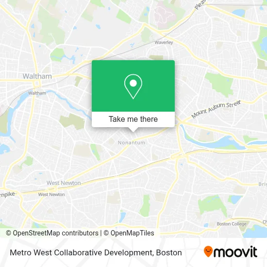
See Metro West Collaborative Development, Newton, on the map
Public Transit to Metro West Collaborative Development in Newton
Wondering how to get to Metro West Collaborative Development in Newton? Moovit helps you find the best way to get to Metro West Collaborative Development with step-by-step directions from the nearest public transit station.
Moovit provides free maps and live directions to help you navigate through your city. View schedules, routes, timetables, and find out how long does it take to get to Metro West Collaborative Development in real time.
Looking for the nearest stop or station to Metro West Collaborative Development? Check out this list of stops closest to your destination: Newton Centre; Adams St @ Watertown St; Watertown St @ Adams St; Newtonville; Waltham.
Bus: 556, 558, 59.Train: FITCHBURG, FRAMINGHAM/WORCESTER.Subway: GREEN LINE D.
Want to see if there’s another route that gets you there at an earlier time? Moovit helps you find alternative routes or times. Get directions from and directions to Metro West Collaborative Development easily from the Moovit App or Website.
We make riding to Metro West Collaborative Development easy, which is why over 1.7 million users, including users in Newton, trust Moovit as the best app for public transit. You don’t need to download an individual bus app or train app, Moovit is your all-in-one transit app that helps you find the best bus time or train time available.
For information on prices of bus, train and subway, costs and ride fares to Metro West Collaborative Development, please check the Moovit app.
Use the app to navigate to popular places including to the airport, hospital, stadium, grocery store, mall, coffee shop, school, college, and university.
Metro West Collaborative Development Address: 79 Chapel St street in Newton
- Nonantum,
- Spindrift Beverage Co (Spindrift Sparkling Water),
- Vape Daddy's (Lake Smoke and Vape),
- Five Star Associates Limited Partnership,
- Mariann Burke Psychotherapy,
- ATM,
- Nerd Central,
- Nonantum,
- Nimble Assessment Systems,
- Kessler McGuinness & Assoc,
- Signs by Tomorrow,
- Delio,
- Exergen Corporation,
- Audio Spotlight by Holosonics,
- Coppola Studios,
- Turtle Studios Newton,
- Launch Watertown,
- Ct Pizzeria,
- Clark Reid Co Incorporated Watertown,
- Italian Design
Places Near Metro West Collaborative Development (Newton)
- Leader Bank Pavilion (Leader Bank Pavillion), Boston,
- Isabella Stewart Gardner Museum, Boston,
- Prudential Center, Boston,
- Boston Common, Boston,
- Faneuil Hall, Boston,
- Boston Medical Center, Boston,
- Wang Theater, Boston,
- Mgm Music Hall, Boston,
- House Of Blues, Boston,
- Boston Children's Hospital, Boston,
- North End, Boston,
- Quincy Market, Boston,
- Td Garden, Boston,
- Wilbur Theatre, Boston,
- Cheers, Boston,
- Seaport District, Boston,
- Museum Of Science, Boston,
- Boston Convention & Exhibition Center, Boston,
- Massachusetts General Hospital, Boston,
- Castle Island, Boston
How to get to popular places in Boston with public transit
Get around Newton by public transit!
Traveling around Newton has never been so easy. See step by step directions as you travel to any attraction, street or major public transit station. View bus and train schedules, arrival times, service alerts and detailed routes on a map, so you know exactly how to get to anywhere in Newton.
When traveling to any destination around Newton use Moovit's Live Directions with Get Off Notifications to know exactly where and how far to walk, how long to wait for your line, and how many stops are left. Moovit will alert you when it's time to get off — no need to constantly re-check whether yours is the next stop.
Wondering how to use public transit in Newton or how to pay for public transit in Newton? Moovit public transit app can help you navigate your way with public transit easily, and at minimum cost. It includes public transit fees, ticket prices, and costs. Looking for a map of Newton public transit lines? Moovit public transit app shows all public transit maps in Newton with all Bus, Train, Subway and Ferry routes and stops on an interactive map.
Boston has 4 transit type(s), including: Bus, Train, Subway and Ferry, operated by several transit agencies, including MBTA, Southeastern Regional Transit Authority, MetroWest Regional Transit Authority, Rhode Island Public Transit Authority, WRTA, Lowell Regional Transit Authority, Merrimack Valley Transit, Montachusett Regional Transit Authority, Cape Cod Regional Transit Authority, Brockton Area Transit Authority, Martha's Vineyard Transit Authority, the WAVE - Nantucket Regional Transit Authority, GATRA, Cape Ann Transportation Authority and Massport