Directions to Mom & Rico's (Boston) with public transportation
The following transit lines have routes that pass near Mom & Rico's
 Bus: G1, X92, T92, G2, T1.
- Train: LAKE SHORE LIMITED, VERMONTER, AMTRAK HARTFORD LINE, NORTHEAST REGIONAL, VALLEY FLYER.
How to get to Mom & Rico's by bus?
Click on the bus route to see step by step directions with maps, line arrival times and updated time schedules.
From Registry Of Motor Vehicles (Rmv) Branch Office, Worcester
96 minFrom South High Community School, Worcester
189 minFrom Palladium, Worcester
97 minFrom Dcu Center, Worcester
94 minFrom Walmart Supercenter, Worcester
151 minFrom Foxwoods, Worcester
122 minFrom Worcester, MA, Worcester
92 minFrom Polar Park, Worcester
94 min
How to get to Mom & Rico's by train?
Click on the train route to see step by step directions with maps, line arrival times and updated time schedules.
Bus stops near Mom & Rico's in Boston
Train station near Mom & Rico's in Boston
- Springfield, 33 min walk,VIEW
Bus lines to Mom & Rico's in Boston
- T92, State Street Blunt Pk Rd To Bay Street,VIEW
- G1, The X Via Sumner Ave,VIEW
- G2, E Springfield Via Union Station-Mercy,VIEW
- T1, Sumner To the X To Dickinson,VIEW
- T2, Belmont To the X,VIEW
- T5, State St Blunt Park Rd To Bay St,VIEW
- X92, Memorial Industrial Park Via Senior Center And Roosevelt,VIEW
- G5, Union Station Via Jewish Home,VIEW
What are the closest stations to Mom & Rico's?
The closest stations to Mom & Rico's are:
- Main / Montpelier is 122 yards away, 2 min walk.
- Main / Adams is 246 yards away, 4 min walk.
- Maple / Avon (2) is 488 yards away, 6 min walk.
- Springfield is 2745 yards away, 33 min walk.
Which bus lines stop near Mom & Rico's?
These bus lines stop near Mom & Rico's: G1, X92.
Which train lines stop near Mom & Rico's?
These train lines stop near Mom & Rico's: LAKE SHORE LIMITED, VERMONTER.
What’s the nearest bus station to Mom & Rico's in Boston?
The nearest bus station to Mom & Rico's in Boston is Main / Montpelier. It’s a 2 min walk away.
What time is the first train to Mom & Rico's in Boston?
The NORTHEAST REGIONAL is the first train that goes to Mom & Rico's in Boston. It stops nearby at 4:10 AM.
What time is the last train to Mom & Rico's in Boston?
The LAKE SHORE LIMITED is the last train that goes to Mom & Rico's in Boston. It stops nearby at 6:04 PM.
What time is the first bus to Mom & Rico's in Boston?
The G2 is the first bus that goes to Mom & Rico's in Boston. It stops nearby at 5:22 AM.
What time is the last bus to Mom & Rico's in Boston?
The G2 is the last bus that goes to Mom & Rico's in Boston. It stops nearby at 10:04 PM.
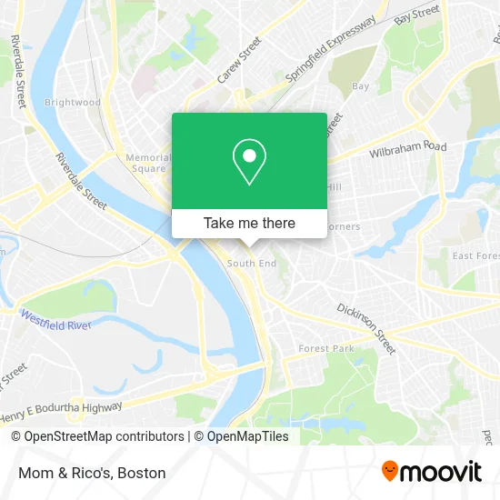
See Mom & Rico's, Boston, on the map
Public Transit to Mom & Rico's in Boston
Wondering how to get to Mom & Rico's in Boston? Moovit helps you find the best way to get to Mom & Rico's with step-by-step directions from the nearest public transit station.
Moovit provides free maps and live directions to help you navigate through your city. View schedules, routes, timetables, and find out how long does it take to get to Mom & Rico's in real time.
Looking for the nearest stop or station to Mom & Rico's? Check out this list of stops closest to your destination: Main / Montpelier; Main / Adams; Maple / Avon (2); Springfield.
Bus: G1, X92, T92, G2, T1, T2, T5, G5.Train: LAKE SHORE LIMITED, VERMONTER, AMTRAK HARTFORD LINE, NORTHEAST REGIONAL, VALLEY FLYER.
Want to see if there’s another route that gets you there at an earlier time? Moovit helps you find alternative routes or times. Get directions from and directions to Mom & Rico's easily from the Moovit App or Website.
We make riding to Mom & Rico's easy, which is why over 1.7 million users, including users in Boston, trust Moovit as the best app for public transit. You don’t need to download an individual bus app or train app, Moovit is your all-in-one transit app that helps you find the best bus time or train time available.
For information on prices of bus and train, costs and ride fares to Mom & Rico's, please check the Moovit app.
Use the app to navigate to popular places including to the airport, hospital, stadium, grocery store, mall, coffee shop, school, college, and university.
Mom & Rico's Address: 899 Main St street in Boston
- Rocky Marciano Monument,
- American Pest Solutions,
- American Antipest Exterminating,
- Anderson Exterminating,
- Boost Mobile,
- Evans Court Apartment Building,
- Darlie Locksmith,
- B & D Bakery,
- Our Lady of Mt Carmel Society,
- Society of Our Lady of Mount Carmel Club and Bar,
- Treasure Hunt Liquidator's,
- Top Coat Nail Salon & Spa,
- Philbin & Associates,
- MBL Housing & Development,
- Our Lady of Mt. Carmel Church,
- RBS Citizens Bank,
- Stepping Stones Group,
- Rivera Cheryl State Rep,
- Wic - Springfield South,
- Frank's Appraisal
Places Near Mom & Rico's (Boston)
- Wang Theater, Boston,
- Faneuil Hall, Boston,
- Massachusetts General Hospital, Boston,
- Isabella Stewart Gardner Museum, Boston,
- Boston Common, Boston,
- Wilbur Theatre, Boston,
- Mgm Music Hall, Boston,
- Castle Island, Boston,
- Cheers, Boston,
- Boston Convention & Exhibition Center, Boston,
- Td Garden, Boston,
- Boston Children's Hospital, Boston,
- Leader Bank Pavilion (Leader Bank Pavillion), Boston,
- Boston Medical Center, Boston,
- Museum Of Science, Boston,
- Seaport District, Boston,
- Quincy Market, Boston,
- Prudential Center, Boston,
- North End, Boston,
- House Of Blues, Boston
How to get to popular places in Boston with public transit
Get around Boston by public transit!
Traveling around Boston has never been so easy. See step by step directions as you travel to any attraction, street or major public transit station. View bus and train schedules, arrival times, service alerts and detailed routes on a map, so you know exactly how to get to anywhere in Boston.
When traveling to any destination around Boston use Moovit's Live Directions with Get Off Notifications to know exactly where and how far to walk, how long to wait for your line, and how many stops are left. Moovit will alert you when it's time to get off — no need to constantly re-check whether yours is the next stop.
Wondering how to use public transit in Boston or how to pay for public transit in Boston? Moovit public transit app can help you navigate your way with public transit easily, and at minimum cost. It includes public transit fees, ticket prices, and costs. Looking for a map of Boston public transit lines? Moovit public transit app shows all public transit maps in Boston with all Bus, Train, Subway and Ferry routes and stops on an interactive map.
Boston has 4 transit type(s), including: Bus, Train, Subway and Ferry, operated by several transit agencies, including MBTA, Southeastern Regional Transit Authority, MetroWest Regional Transit Authority, Rhode Island Public Transit Authority, WRTA, Lowell Regional Transit Authority, Merrimack Valley Transit, Montachusett Regional Transit Authority, Cape Cod Regional Transit Authority, Brockton Area Transit Authority, Martha's Vineyard Transit Authority, the WAVE - Nantucket Regional Transit Authority, GATRA, Cape Ann Transportation Authority and Massport