How to get to Morgan Elementary School by bus?
Click on the bus route to see step by step directions with maps, line arrival times and updated time schedules.
From Foxwoods, Worcester
152 minFrom Registry Of Motor Vehicles (Rmv) Branch Office, Worcester
127 minFrom Palladium, Worcester
128 minFrom Gardner, MA, Gardner
265 minFrom Saint Vincent Hospital at Worcester Medical Center, Worcester
125 minFrom Polar Park, Worcester
124 minFrom Worcester, MA, Worcester
123 minFrom South High Community School, Worcester
220 minFrom Dcu Center, Worcester
125 min
How to get to Morgan Elementary School by train?
Click on the train route to see step by step directions with maps, line arrival times and updated time schedules.
Bus stops near Morgan Elementary School in Boston
Train station near Morgan Elementary School in Boston
- Holyoke Amtrak, 57 min walk,VIEW
Bus lines to Morgan Elementary School in Boston
What are the closest stations to Morgan Elementary School?
The closest stations to Morgan Elementary School are:
- Cabot / Main is 165 yards away, 3 min walk.
- Cabot / Clemente is 235 yards away, 3 min walk.
- Main / Sargeant is 317 yards away, 4 min walk.
- Main / Hamilton (1) is 317 yards away, 4 min walk.
- Holyoke Amtrak is 4885 yards away, 57 min walk.
Which bus line stops near Morgan Elementary School?
P21 (Holyoke Trans. Ctr. Via Meetinghouse/Meadow)
Which train line stops near Morgan Elementary School?
VERMONTER (St Albans)
What’s the nearest bus station to Morgan Elementary School in Boston?
The nearest bus stations to Morgan Elementary School in Boston are Cabot / Main and Cabot / Clemente. The closest one is a 3 min walk away.
What time is the first train to Morgan Elementary School in Boston?
The VALLEY FLYER is the first train that goes to Morgan Elementary School in Boston. It stops nearby at 6:45 AM.
What time is the last train to Morgan Elementary School in Boston?
The VALLEY FLYER is the last train that goes to Morgan Elementary School in Boston. It stops nearby at 9:51 PM.
What time is the first bus to Morgan Elementary School in Boston?
The P21 is the first bus that goes to Morgan Elementary School in Boston. It stops nearby at 5:17 AM.
What time is the last bus to Morgan Elementary School in Boston?
The P21 is the last bus that goes to Morgan Elementary School in Boston. It stops nearby at 9:02 PM.
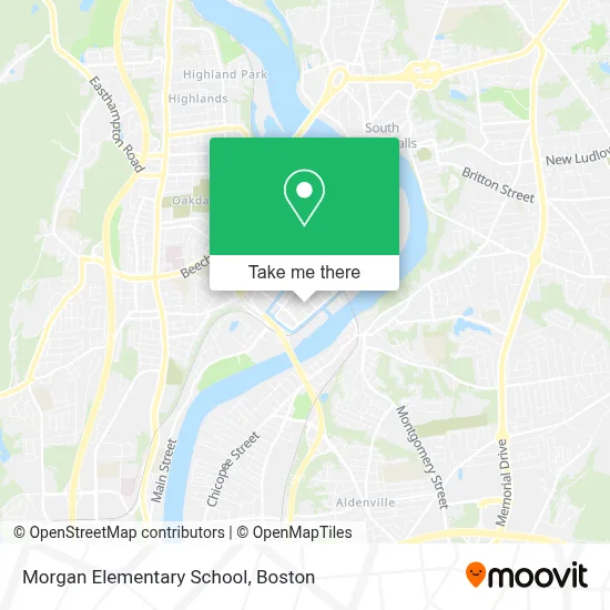
See Morgan Elementary School, Boston, on the map
Public Transit to Morgan Elementary School in Boston
Wondering how to get to Morgan Elementary School in Boston? Moovit helps you find the best way to get to Morgan Elementary School with step-by-step directions from the nearest public transit station.
Moovit provides free maps and live directions to help you navigate through your city. View schedules, routes, timetables, and find out how long does it take to get to Morgan Elementary School in real time.
Looking for the nearest stop or station to Morgan Elementary School? Check out this list of stops closest to your destination: Cabot / Main; Cabot / Clemente; Main / Sargeant; Main / Hamilton (1); Holyoke Amtrak.
Bus: P21, R22, T24, R29.Train: VERMONTER, VALLEY FLYER.
Want to see if there’s another route that gets you there at an earlier time? Moovit helps you find alternative routes or times. Get directions from and directions to Morgan Elementary School easily from the Moovit App or Website.
We make riding to Morgan Elementary School easy, which is why over 1.7 million users, including users in Boston, trust Moovit as the best app for public transit. You don’t need to download an individual bus app or train app, Moovit is your all-in-one transit app that helps you find the best bus time or train time available.
For information on prices of bus and train, costs and ride fares to Morgan Elementary School, please check the Moovit app.
Use the app to navigate to popular places including to the airport, hospital, stadium, grocery store, mall, coffee shop, school, college, and university.
Morgan Elementary School Address: 587 S Summer St street in Boston
- William G. Morgan Full Service Community School,
- Nueva Esperanza,
- Holyoke Housing Authority Maintenance Service,
- Iglesia Pentecostal Labranza de Dios, Inc.,
- Mother Elouise Franklin Church,
- Rubies #Imworthsomuchmore,
- Docks Classics,
- Lumber Dogs,
- Sonoco Paper Mill,
- JGL Truck Sales,
- Agawam Novelty,
- Jackson Courts,
- Biomedcorp,
- Carlos Vega Park,
- Hitchcock Press,
- Herlihy Bill Barrel Co.,
- Ars Strategic Mail Services,
- Salinas Mini Market,
- Sonoco Paper,
- Hamilton Spray Park
Places Near Morgan Elementary School (Boston)
- Boston Convention & Exhibition Center, Boston,
- Castle Island, Boston,
- Museum Of Science, Boston,
- Wilbur Theatre, Boston,
- Seaport District, Boston,
- Quincy Market, Boston,
- House Of Blues, Boston,
- Cheers, Boston,
- Prudential Center, Boston,
- Massachusetts General Hospital, Boston,
- Isabella Stewart Gardner Museum, Boston,
- Boston Common, Boston,
- Boston Children's Hospital, Boston,
- North End, Boston,
- Td Garden, Boston,
- Wang Theater, Boston,
- Faneuil Hall, Boston,
- Mgm Music Hall, Boston,
- Boston Medical Center, Boston,
- Leader Bank Pavilion (Leader Bank Pavillion), Boston
How to get to popular places in Boston with public transit
Get around Boston by public transit!
Traveling around Boston has never been so easy. See step by step directions as you travel to any attraction, street or major public transit station. View bus and train schedules, arrival times, service alerts and detailed routes on a map, so you know exactly how to get to anywhere in Boston.
When traveling to any destination around Boston use Moovit's Live Directions with Get Off Notifications to know exactly where and how far to walk, how long to wait for your line, and how many stops are left. Moovit will alert you when it's time to get off — no need to constantly re-check whether yours is the next stop.
Wondering how to use public transit in Boston or how to pay for public transit in Boston? Moovit public transit app can help you navigate your way with public transit easily, and at minimum cost. It includes public transit fees, ticket prices, and costs. Looking for a map of Boston public transit lines? Moovit public transit app shows all public transit maps in Boston with all Bus, Train, Subway and Ferry routes and stops on an interactive map.
Boston has 4 transit type(s), including: Bus, Train, Subway and Ferry, operated by several transit agencies, including MBTA, Southeastern Regional Transit Authority, MetroWest Regional Transit Authority, Rhode Island Public Transit Authority, WRTA, Lowell Regional Transit Authority, Merrimack Valley Transit, Montachusett Regional Transit Authority, Cape Cod Regional Transit Authority, Brockton Area Transit Authority, Martha's Vineyard Transit Authority, the WAVE - Nantucket Regional Transit Authority, GATRA, Cape Ann Transportation Authority and Massport