How to get to Negron's Construction by bus?
Click on the bus route to see step by step directions with maps, line arrival times and updated time schedules.
From Polar Park, Worcester
108 minFrom South High Community School, Worcester
203 minFrom Worcester, MA, Worcester
107 minFrom Gardner, MA, Gardner
249 minFrom Saint Vincent Hospital at Worcester Medical Center, Worcester
108 minFrom Foxwoods, Worcester
136 minFrom Registry Of Motor Vehicles (Rmv) Branch Office, Worcester
111 minFrom Palladium, Worcester
112 minFrom Dcu Center, Worcester
109 min
How to get to Negron's Construction by train?
Click on the train route to see step by step directions with maps, line arrival times and updated time schedules.
Bus stops near Negron's Construction in Boston
Train station near Negron's Construction in Boston
- Holyoke Amtrak, 49 min walk,VIEW
Bus lines to Negron's Construction in Boston
What are the closest stations to Negron's Construction?
The closest stations to Negron's Construction are:
- Main / Jackson (2) is 52 yards away, 1 min walk.
- Cabot / Main is 678 yards away, 8 min walk.
- Cabot / Canal is 976 yards away, 12 min walk.
- Holyoke Amtrak is 4067 yards away, 49 min walk.
Which bus line stops near Negron's Construction?
P21E (Holyoke Trans Center Via I-391 Express)
Which train line stops near Negron's Construction?
VERMONTER (St Albans)
What’s the nearest bus station to Negron's Construction in Boston?
The nearest bus station to Negron's Construction in Boston is Main / Jackson (2). It’s a 1 min walk away.
What time is the first train to Negron's Construction in Boston?
The VALLEY FLYER is the first train that goes to Negron's Construction in Boston. It stops nearby at 6:45 AM.
What time is the last train to Negron's Construction in Boston?
The VALLEY FLYER is the last train that goes to Negron's Construction in Boston. It stops nearby at 9:51 PM.
What time is the first bus to Negron's Construction in Boston?
The P21 is the first bus that goes to Negron's Construction in Boston. It stops nearby at 5:17 AM.
What time is the last bus to Negron's Construction in Boston?
The P21 is the last bus that goes to Negron's Construction in Boston. It stops nearby at 9:02 PM.
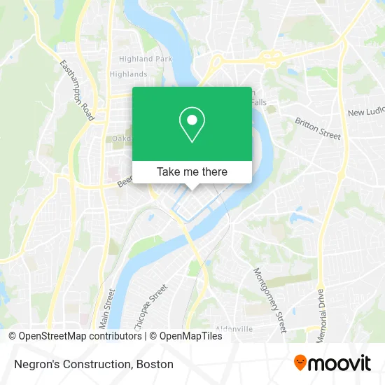
See Negron's Construction, Boston, on the map
Public Transit to Negron's Construction in Boston
Wondering how to get to Negron's Construction in Boston? Moovit helps you find the best way to get to Negron's Construction with step-by-step directions from the nearest public transit station.
Moovit provides free maps and live directions to help you navigate through your city. View schedules, routes, timetables, and find out how long does it take to get to Negron's Construction in real time.
Looking for the nearest stop or station to Negron's Construction? Check out this list of stops closest to your destination: Main / Jackson (2); Cabot / Main; Cabot / Canal; Holyoke Amtrak.
Bus: P21E, R29, T24, P21, R22.Train: VERMONTER, VALLEY FLYER.
Want to see if there’s another route that gets you there at an earlier time? Moovit helps you find alternative routes or times. Get directions from and directions to Negron's Construction easily from the Moovit App or Website.
We make riding to Negron's Construction easy, which is why over 1.7 million users, including users in Boston, trust Moovit as the best app for public transit. You don’t need to download an individual bus app or train app, Moovit is your all-in-one transit app that helps you find the best bus time or train time available.
For information on prices of bus and train, costs and ride fares to Negron's Construction, please check the Moovit app.
Use the app to navigate to popular places including to the airport, hospital, stadium, grocery store, mall, coffee shop, school, college, and university.
Negron's Construction Address: 454 Main St street in Boston
- Friedrich Block,
- Golden Horse Cafe,
- La Copa,
- Hernandez Furniture,
- Hitchcock Press,
- Nixon Studio Rental,
- Exclusive Photo Service,
- Massworkz,
- Nocturnal Motorcycle Association WMSS,
- LP Creations Photography,
- El Mercado,
- Carlos Vega Park,
- Neighbor 2 Neighbor Ma,
- Vanguard Movement,
- Hamilton Spray Park,
- Papercity Photography & Studio Rentals,
- City Paper,
- Salinas Mini Market,
- Apostolic Christian Church,
- Biomedcorp
Places Near Negron's Construction (Boston)
- House Of Blues, Boston,
- Isabella Stewart Gardner Museum, Boston,
- Boston Common, Boston,
- Seaport District, Boston,
- Museum Of Science, Boston,
- Massachusetts General Hospital, Boston,
- Cheers, Boston,
- North End, Boston,
- Prudential Center, Boston,
- Quincy Market, Boston,
- Boston Convention & Exhibition Center, Boston,
- Boston Children's Hospital, Boston,
- Faneuil Hall, Boston,
- Mgm Music Hall, Boston,
- Td Garden, Boston,
- Leader Bank Pavilion (Leader Bank Pavillion), Boston,
- Wang Theater, Boston,
- Wilbur Theatre, Boston,
- Castle Island, Boston,
- Boston Medical Center, Boston
How to get to popular places in Boston with public transit
Get around Boston by public transit!
Traveling around Boston has never been so easy. See step by step directions as you travel to any attraction, street or major public transit station. View bus and train schedules, arrival times, service alerts and detailed routes on a map, so you know exactly how to get to anywhere in Boston.
When traveling to any destination around Boston use Moovit's Live Directions with Get Off Notifications to know exactly where and how far to walk, how long to wait for your line, and how many stops are left. Moovit will alert you when it's time to get off — no need to constantly re-check whether yours is the next stop.
Wondering how to use public transit in Boston or how to pay for public transit in Boston? Moovit public transit app can help you navigate your way with public transit easily, and at minimum cost. It includes public transit fees, ticket prices, and costs. Looking for a map of Boston public transit lines? Moovit public transit app shows all public transit maps in Boston with all Bus, Train, Subway and Ferry routes and stops on an interactive map.
Boston has 4 transit type(s), including: Bus, Train, Subway and Ferry, operated by several transit agencies, including MBTA, Southeastern Regional Transit Authority, MetroWest Regional Transit Authority, Rhode Island Public Transit Authority, WRTA, Lowell Regional Transit Authority, Merrimack Valley Transit, Montachusett Regional Transit Authority, Cape Cod Regional Transit Authority, Brockton Area Transit Authority, Martha's Vineyard Transit Authority, the WAVE - Nantucket Regional Transit Authority, GATRA, Cape Ann Transportation Authority and Massport