Ogontz Av & 78th Av stop - Sunday schedule
| Line | Direction | Time |
|---|---|---|
| 6 | Olney Transit Center | 4:57 AM |
| 6 | Olney Transit Center | 5:42 AM |
| 6 | Olney Transit Center | 6:12 AM |
| 6 | Olney Transit Center | 6:42 AM |
| 6 | Olney Transit Center | 7:12 AM |
| 6 | Olney Transit Center | 7:40 AM |
| 6 | Olney Transit Center | 8:04 AM |
| 6 | Olney Transit Center | 8:27 AM |
| 6 | Olney Transit Center | 8:50 AM |
| 6 | Olney Transit Center | 9:13 AM |
| 6 | Olney Transit Center | 9:36 AM |
| 6 | Olney Transit Center | 9:59 AM |
| 6 | Olney Transit Center | 10:21 AM |
| 6 | Olney Transit Center | 10:41 AM |
| 6 | Olney Transit Center | 11:01 AM |
| 6 | Olney Transit Center | 11:21 AM |
| 6 | Olney Transit Center | 11:41 AM |
| 6 | Olney Transit Center | 12:01 PM |
| 6 | Olney Transit Center | 12:21 PM |
| 6 | Olney Transit Center | 12:41 PM |
| 6 | Olney Transit Center | 1:01 PM |
| 6 | Olney Transit Center | 1:21 PM |
| 6 | Olney Transit Center | 1:41 PM |
| 6 | Olney Transit Center | 2:01 PM |
| 6 | Olney Transit Center | 2:21 PM |
Directions to Ogontz Av & 78th Av stop (Philadelphia) with public transit
The following transit lines have routes that pass near Ogontz Av & 78th Av
How to get to Ogontz Av & 78th Av stop by bus?
Click on the bus route to see step by step directions with maps, line arrival times and updated time schedules.
How to get to Ogontz Av & 78th Av stop by train?
Click on the train route to see step by step directions with maps, line arrival times and updated time schedules.
Bus stops near Ogontz Av & 78th Av stop in Philadelphia
- Ogontz Av & 79th Av, 1 min walk,
- Cheltenham Av & 79th Av, 4 min walk,
- Cheltenham Av & Ogontz Av , 5 min walk,
- Cheltenham Av & Ogontz Av Loop, 5 min walk,
Train stations near Ogontz Av & 78th Av station in Philadelphia
- Stenton, 31 min walk,
- Melrose Park, 38 min walk,
Bus lines to Ogontz Av & 78th Av stop in Philadelphia
- 6, Olney Transit Center,
- 16, Olney Transit Center,
- 22, Olney Transit Center Via Limekiln,
- 81, Express Cheltenham-Ogontz,
- 80, Express Olney Transit Center,
- 71, Broad-Erie,
What are the closest stations to Ogontz Av & 78th Av?
The closest stations to Ogontz Av & 78th Av are:
- Ogontz Av & 79th Av is 32 yards away, 1 min walk.
- Cheltenham Av & 79th Av is 226 yards away, 4 min walk.
- Cheltenham Av & Ogontz Av is 340 yards away, 5 min walk.
- Cheltenham Av & Ogontz Av Loop is 399 yards away, 5 min walk.
- Stenton is 2641 yards away, 31 min walk.
- Melrose Park is 3194 yards away, 38 min walk.
Which bus lines stop near Ogontz Av & 78th Av?
These bus lines stop near Ogontz Av & 78th Av: 16, 6, 71.
Which train lines stop near Ogontz Av & 78th Av?
These train lines stop near Ogontz Av & 78th Av: CHE, LAN, WAR, WTR.
What’s the nearest bus station to Ogontz Av & 78th Av in Philadelphia?
The nearest bus station to Ogontz Av & 78th Av in Philadelphia is Ogontz Av & 79th Av. It’s a 1 min walk away.
Ogontz Av & 78th Av station
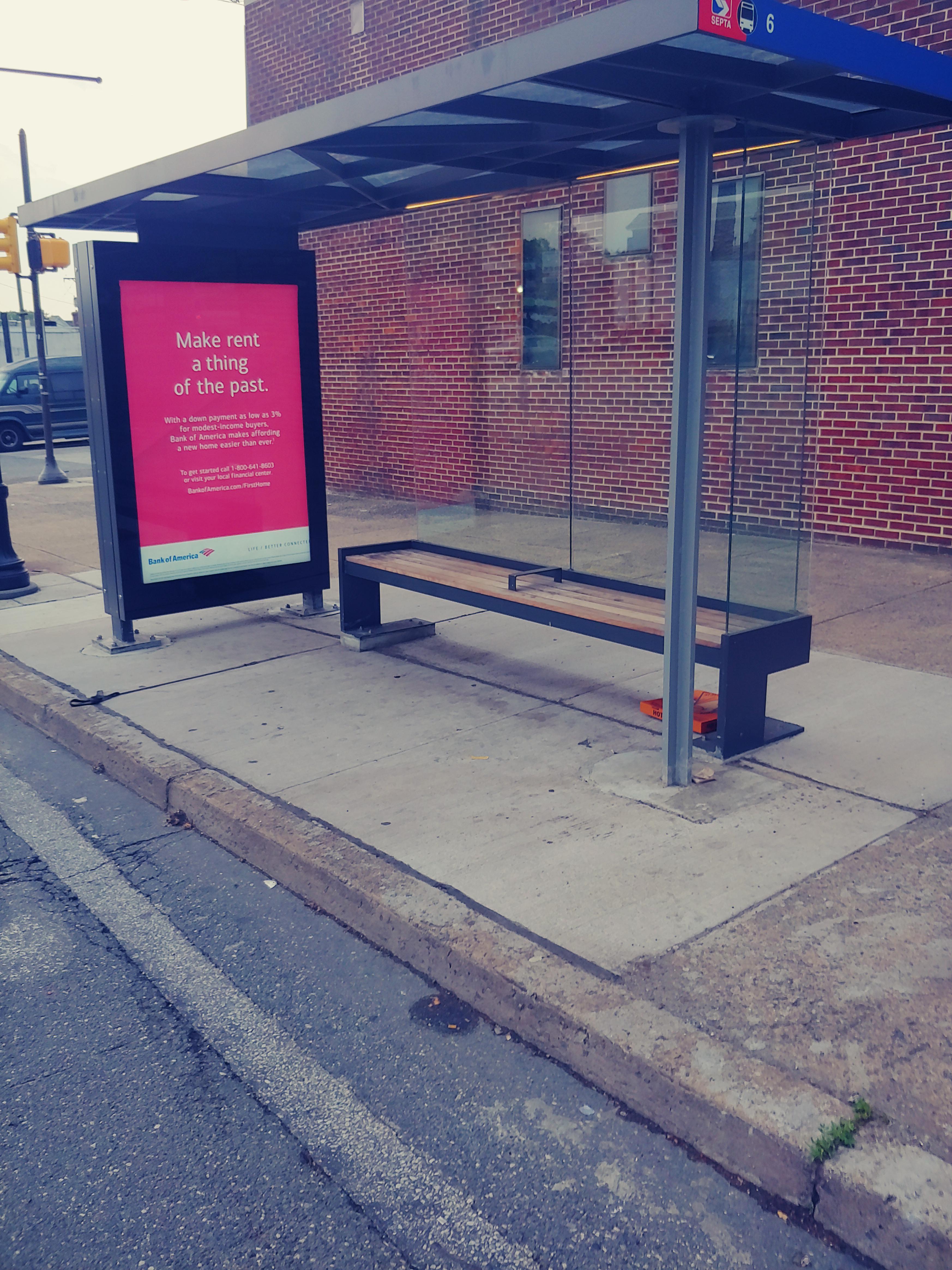 Taken by NewChief X.
See Ogontz Av & 78th Av stop, Philadelphia, on the map
Public transit to Ogontz Av & 78th Av stop (ID: 11117) in Philadelphia
Looking for directions to Ogontz Av & 78th Av in Philadelphia, United States?
Download the Moovit App to find the current schedule and step-by-step directions for Bus, Train or Metro routes that pass through Ogontz Av & 78th Av.
Looking for the nearest stops closest to Ogontz Av & 78th Av ? Check out this list of closest stops to your destination: Ogontz Av & 79th Av; Cheltenham Av & 79th Av; Cheltenham Av & Ogontz Av ; Cheltenham Av & Ogontz Av Loop; Stenton; Melrose Park.
Bus: 16, 6, 71, 22, 81, 80.Train: CHE, LAN, WAR, WTR.
We make riding on public transit to Ogontz Av & 78th Av easy, which is why over 1.5 million users, including users in Philadelphia trust Moovit as the best app for public transit.
Use the app to navigate to popular places including to the airport, hospital, stadium, grocery store, mall, coffee shop, school, college, and university.
Ogontz Av & 78th Av stop’s code is 11117
The first line to this stop is 6, at 4:57 AM, and the last line is 6 at 3:57 AM.
78th Avenue, Philadelphia, PA, USA
This stop serves SEPTA’s lines
Bus stops near Ogontz Av & 78th Av stop
Popular public transit stations in Philadelphia
Get around Philadelphia by public transit!
Traveling around Philadelphia has never been so easy. See step by step directions as you travel to any attraction, street or major public transit station. View bus and train schedules, arrival times, service alerts and detailed routes on a map, so you know exactly how to get to anywhere in Philadelphia.
When traveling to any destination around Philadelphia use Moovit's Live Directions with Get Off Notifications to know exactly where and how far to walk, how long to wait for your line, and how many stops are left. Moovit will alert you when it's time to get off — no need to constantly re-check whether yours is the next stop.
Wondering how to use public transit in Philadelphia or how to pay for public transit in Philadelphia? Moovit public transit app can help you navigate your way with public transit easily, and at minimum cost. It includes public transit fees, ticket prices, and costs. Looking for a map of Philadelphia public transit lines? Moovit public transit app shows all public transit maps in Philadelphia with all Bus, Train, Metro, Light Rail and Cable Car routes and stops on an interactive map.
Philadelphia has 5 transit type(s), including: Bus, Train, Metro, Light Rail and Cable Car, operated by several transit agencies, including SEPTA Rail, SEPTA, SEPTA Subway, NJ Transit Rail, NJ Transit Bus, Port Authority Transit Corporation, Pottstown Area Rapid Transit (PART), Fullington Tours, Drexel University, Penn Transit, Chescobus, Navy Yard, Amtrak, Suburban Transit and FlixBus-us