P.º Parques - Camino Del Encinar stop - Tuesday schedule
| Line | Direction | Time |
|---|---|---|
| C4A | Atocha | 6:50 |
| C4A | Atocha | 7:10 |
| C4A | Atocha | 7:15 |
| 3 | Circular (Arroyo de la Vega - El Soto - El Encinar) | 7:16 |
| C4A | Atocha | 7:30 |
| C4A | Atocha | 7:50 |
| 3 | Circular (Arroyo de la Vega - El Soto - El Encinar) | 7:56 |
| C4A | Atocha | 8:10 |
| C4A | Atocha | 8:25 |
| C4A | Atocha | 8:30 |
| 3 | Circular (Arroyo de la Vega - El Soto - El Encinar) | 8:36 |
| C4A | Atocha | 8:50 |
| C4A | Atocha | 9:10 |
| 3 | Circular (Arroyo de la Vega - El Soto - El Encinar) | 9:16 |
| C4A | Atocha | 9:40 |
| 3 | Circular (Arroyo de la Vega - El Soto - El Encinar) | 9:56 |
| C4A | Atocha | 10:05 |
| 3 | Circular (Arroyo de la Vega - El Soto - El Encinar) | 10:35 |
| C4A | Atocha | 10:35 |
| C4A | Atocha | 11:05 |
| 3 | Circular (Arroyo de la Vega - El Soto - El Encinar) | 11:15 |
| C4A | Atocha | 11:35 |
| 3 | Circular (Arroyo de la Vega - El Soto - El Encinar) | 11:55 |
| C4A | Atocha | 12:05 |
| 3 | Circular (Arroyo de la Vega - El Soto - El Encinar) | 12:35 |
Directions to P.º Parques - Camino Del Encinar stop (Madrid) with public transit
The following transit lines have routes that pass near P.º Parques - Camino Del Encinar
How to get to P.º Parques - Camino Del Encinar stop by bus?
Click on the bus route to see step by step directions with maps, line arrival times and updated time schedules.
How to get to P.º Parques - Camino Del Encinar stop by metro?
Click on the metro route to see step by step directions with maps, line arrival times and updated time schedules.
Bus stops near P.º Parques - Camino Del Encinar stop in Madrid
- P.º Los Parques - Vereda Del Palacio, 2 min walk,
- Camino Huerta - Vereda Los Chopos, 7 min walk,
Metro stations near P.º Parques - Camino Del Encinar station in Madrid
- La Moraleja, 25 min walk,
Light Rail stations near P.º Parques - Camino Del Encinar station in Madrid
- María Tudor, 41 min walk,
Bus lines to P.º Parques - Camino Del Encinar stop in Madrid
- 3, Circular (Arroyo de la Vega - El Soto - El Encinar),
- 155B, P.º Parques - Encinar De Los Reyes,
- 2, Alcobendas,
What are the closest stations to P.º Parques - Camino Del Encinar?
The closest stations to P.º Parques - Camino Del Encinar are:
- P.º Los Parques - Vereda Del Palacio is 149 meters away, 2 min walk.
- Camino Huerta - Vereda Los Chopos is 540 meters away, 7 min walk.
- La Moraleja is 1909 meters away, 25 min walk.
- María Tudor is 3167 meters away, 41 min walk.
Which bus line stops near P.º Parques - Camino Del Encinar?
155B (Pº Parques - Encinar De Los Reyes)
Which metro line stops near P.º Parques - Camino Del Encinar?
M-10 (Hospital Infanta Sofía)
What’s the nearest metro station to P.º Parques - Camino Del Encinar in Madrid?
The nearest metro station to P.º Parques - Camino Del Encinar in Madrid is La Moraleja. It’s a 25 min walk away.
What’s the nearest bus station to P.º Parques - Camino Del Encinar in Madrid?
The nearest bus station to P.º Parques - Camino Del Encinar in Madrid is P.º Los Parques - Vereda Del Palacio. It’s a 2 min walk away.
What time is the first light rail to P.º Parques - Camino Del Encinar in Madrid?
The ML-1 is the first light rail that goes to P.º Parques - Camino Del Encinar in Madrid. It stops nearby at 6:05 AM.
What time is the last light rail to P.º Parques - Camino Del Encinar in Madrid?
The ML-1 is the last light rail that goes to P.º Parques - Camino Del Encinar in Madrid. It stops nearby at 1:47 AM.
What time is the first metro to P.º Parques - Camino Del Encinar in Madrid?
The M-10 is the first metro that goes to P.º Parques - Camino Del Encinar in Madrid. It stops nearby at 6:05 AM.
What time is the last metro to P.º Parques - Camino Del Encinar in Madrid?
The M-10 is the last metro that goes to P.º Parques - Camino Del Encinar in Madrid. It stops nearby at 1:47 AM.
What time is the first bus to P.º Parques - Camino Del Encinar in Madrid?
The 155B is the first bus that goes to P.º Parques - Camino Del Encinar in Madrid. It stops nearby at 6:50 AM.
What time is the last bus to P.º Parques - Camino Del Encinar in Madrid?
The 3 is the last bus that goes to P.º Parques - Camino Del Encinar in Madrid. It stops nearby at 12:36 AM.
P.º Parques - Camino Del Encinar station
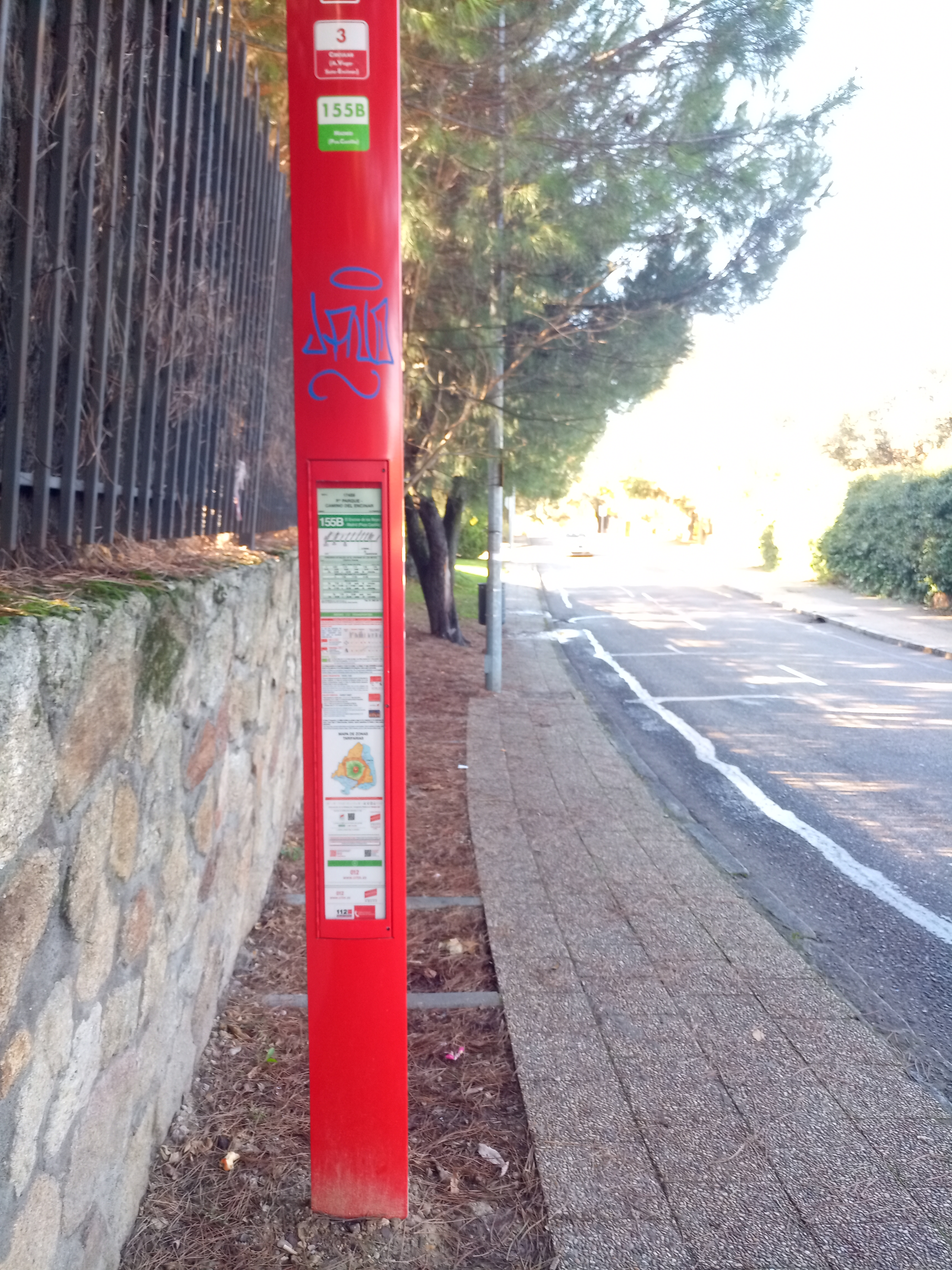 Taken by Anonymous
See P.º Parques - Camino Del Encinar stop, Madrid, on the map
Public transit to P.º Parques - Camino Del Encinar stop (ID: 8_17459) in Madrid
Looking for directions to P.º Parques - Camino Del Encinar in Madrid, Spain?
Download the Moovit App to find the current schedule and step-by-step directions for Bus or Metro routes that pass through P.º Parques - Camino Del Encinar.
Looking for the nearest stops closest to P.º Parques - Camino Del Encinar ? Check out this list of closest stops to your destination: P.º Los Parques - Vereda Del Palacio; Camino Huerta - Vereda Los Chopos; La Moraleja; María Tudor.
Bus: 155B, 3, 2.Metro: M-10.
We make riding on public transit to P.º Parques - Camino Del Encinar easy, which is why over 1.5 million users, including users in Madrid trust Moovit as the best app for public transit.
Use the app to navigate to popular places including to the airport, hospital, stadium, grocery store, mall, coffee shop, school, college, and university.
P.º Parques - Camino Del Encinar stop’s code is 8_17459
The first line to this stop is C4A, at 6:50, and the last line is C4B at 23:28.
This stop serves Urbanos de Alcobendas and Renfe Cercanías’s lines
Bus stops near P.º Parques - Camino Del Encinar stop
Metro station near P.º Parques - Camino Del Encinar station
Light Rail station near P.º Parques - Camino Del Encinar station
Popular public transit stations in Madrid
Get around Madrid by public transit!
Traveling around Madrid has never been so easy. See step by step directions as you travel to any attraction, street or major public transit station. View bus and train schedules, arrival times, service alerts and detailed routes on a map, so you know exactly how to get to anywhere in Madrid.
When traveling to any destination around Madrid use Moovit's Live Directions with Get Off Notifications to know exactly where and how far to walk, how long to wait for your line, and how many stops are left. Moovit will alert you when it's time to get off — no need to constantly re-check whether yours is the next stop.
Wondering how to use public transit in Madrid or how to pay for public transit in Madrid? Moovit public transit app can help you navigate your way with public transit easily, and at minimum cost. It includes public transit fees, ticket prices, and costs. Looking for a map of Madrid public transit lines? Moovit public transit app shows all public transit maps in Madrid with all Bus, Train, Metro and Light Rail routes and stops on an interactive map.
Madrid has 4 transit type(s), including: Bus, Train, Metro and Light Rail, operated by several transit agencies, including Metro de Madrid, Metro Ligero, Tranvía de Parla, Renfe Cercanías - Servicios de Autobús especiales, Renfe Cercanías, EMT, Interurbanos, Urbanos de Alcalá de Henares, Urbanos de Alcobendas, Urbanos de Alcorcón, Urbanos de Algete, Urbanos de Aranjuez, Urbanos de Arganda del Rey, Urbanos de Arroyomolinos and Urbanos de Boadilla del Monte