How to get to Palumbo Law by bus?
Click on the bus route to see step by step directions with maps, line arrival times and updated time schedules.
Bus stops near Palumbo Law in Boston
Bus lines to Palumbo Law in Boston
What are the closest stations to Palumbo Law?
The closest stations to Palumbo Law are:
- Phenix Opposite Preston is 102 yards away, 2 min walk.
- Cranston After Park is 145 yards away, 2 min walk.
- Phenix After Cranston is 229 yards away, 3 min walk.
Which bus lines stop near Palumbo Law?
These bus lines stop near Palumbo Law: 17, 19, 30.
What’s the nearest bus station to Palumbo Law in Boston?
The nearest bus stations to Palumbo Law in Boston are Phenix Opposite Preston and Cranston After Park. The closest one is a 2 min walk away.
What time is the first bus to Palumbo Law in Boston?
The 30 is the first bus that goes to Palumbo Law in Boston. It stops nearby at 5:23 AM.
What time is the last bus to Palumbo Law in Boston?
The 17 is the last bus that goes to Palumbo Law in Boston. It stops nearby at 10:35 PM.
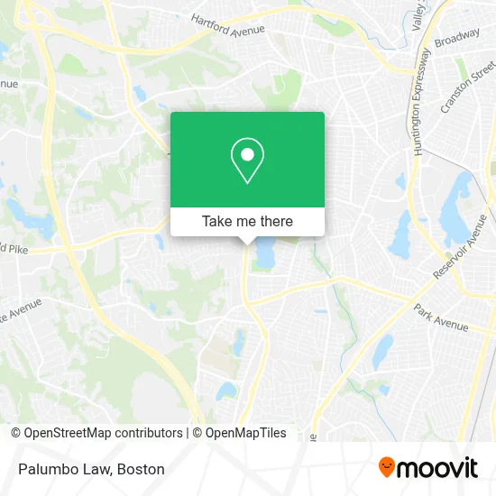
See Palumbo Law, Boston, on the map
Public Transit to Palumbo Law in Boston
Wondering how to get to Palumbo Law in Boston? Moovit helps you find the best way to get to Palumbo Law with step-by-step directions from the nearest public transit station.
Moovit provides free maps and live directions to help you navigate through your city. View schedules, routes, timetables, and find out how long does it take to get to Palumbo Law in real time.
Looking for the nearest stop or station to Palumbo Law? Check out this list of stops closest to your destination: Phenix Opposite Preston; Cranston After Park; Phenix After Cranston.
Bus: 17, 19, 30, WM.
Want to see if there’s another route that gets you there at an earlier time? Moovit helps you find alternative routes or times. Get directions from and directions to Palumbo Law easily from the Moovit App or Website.
We make riding to Palumbo Law easy, which is why over 1.7 million users, including users in Boston, trust Moovit as the best app for public transit. You don’t need to download an individual bus app or train app, Moovit is your all-in-one transit app that helps you find the best bus time or train time available.
For information on prices of bus and train, costs and ride fares to Palumbo Law, please check the Moovit app.
Use the app to navigate to popular places including to the airport, hospital, stadium, grocery store, mall, coffee shop, school, college, and university.
Palumbo Law Address: 481 Atwood Ave street in Boston
- Century 21,
- Realty Associates Ri Properties - Robin Mott,
- Still under Ink,
- Dough Bros,
- Haven Brothers Mobile,
- Legendary Ink,
- Yeezus Tattman,
- Builder's World,
- Mane Hairo,
- Beauty by Taiz,
- Perfectly Nailed,
- Done Right Pest Control,
- Auto Salon,
- Libera Library Street Condo Association,
- Frill Appliance Repair,
- Blue Ox Axe Throwing - Cranston,
- Daltile,
- Pickleball Citi,
- Absolute Vision LTD,
- Bankri
Places Near Palumbo Law (Boston)
- Isabella Stewart Gardner Museum, Boston,
- North End, Boston,
- Mgm Music Hall, Boston,
- Leader Bank Pavilion (Leader Bank Pavillion), Boston,
- Quincy Market, Boston,
- Massachusetts General Hospital, Boston,
- Boston Convention & Exhibition Center, Boston,
- Castle Island, Boston,
- Museum Of Science, Boston,
- Td Garden, Boston,
- Faneuil Hall, Boston,
- House Of Blues, Boston,
- Boston Children's Hospital, Boston,
- Wang Theater, Boston,
- Cheers, Boston,
- Wilbur Theatre, Boston,
- Boston Medical Center, Boston,
- Boston Common, Boston,
- Seaport District, Boston,
- Prudential Center, Boston
How to get to popular places in Boston with public transit
Get around Boston by public transit!
Traveling around Boston has never been so easy. See step by step directions as you travel to any attraction, street or major public transit station. View bus and train schedules, arrival times, service alerts and detailed routes on a map, so you know exactly how to get to anywhere in Boston.
When traveling to any destination around Boston use Moovit's Live Directions with Get Off Notifications to know exactly where and how far to walk, how long to wait for your line, and how many stops are left. Moovit will alert you when it's time to get off — no need to constantly re-check whether yours is the next stop.
Wondering how to use public transit in Boston or how to pay for public transit in Boston? Moovit public transit app can help you navigate your way with public transit easily, and at minimum cost. It includes public transit fees, ticket prices, and costs. Looking for a map of Boston public transit lines? Moovit public transit app shows all public transit maps in Boston with all Bus, Train, Subway and Ferry routes and stops on an interactive map.
Boston has 4 transit type(s), including: Bus, Train, Subway and Ferry, operated by several transit agencies, including MBTA, Southeastern Regional Transit Authority, MetroWest Regional Transit Authority, Rhode Island Public Transit Authority, WRTA, Lowell Regional Transit Authority, Merrimack Valley Transit, Montachusett Regional Transit Authority, Cape Cod Regional Transit Authority, Brockton Area Transit Authority, Martha's Vineyard Transit Authority, the WAVE - Nantucket Regional Transit Authority, GATRA, Cape Ann Transportation Authority and Massport