Directions to Prospect Builders (Boston) with public transportation
The following transit lines have routes that pass near Prospect Builders
 Bus: G2.
How to get to Prospect Builders by bus?
Click on the bus route to see step by step directions with maps, line arrival times and updated time schedules.
From St Vincent Hospital TH Medical, Worcester
171 minFrom Polar Park, Worcester
172 minFrom Palladium, Worcester
176 minFrom Dcu Center, Worcester
173 minFrom Worcester, MA, Worcester
171 minFrom Walmart Supercenter, Worcester
230 minFrom South High Community School, Worcester
268 minFrom Registry Of Motor Vehicles (Rmv) Branch Office, Worcester
175 min
Bus stop near Prospect Builders in Boston
- Chestnut / Shaker, 17 min walk,VIEW
Bus lines to Prospect Builders in Boston
- G2, Dwight / Benton Via Belmont,VIEW
What are the closest stations to Prospect Builders?
The closest stations to Prospect Builders are:
- Chestnut / Shaker is 1437 yards away, 17 min walk.
Which bus line stops near Prospect Builders?
G2 (Dwight / Benton Via Belmont)
What time is the first bus to Prospect Builders in Boston?
The G2 is the first bus that goes to Prospect Builders in Boston. It stops nearby at 5:38 AM.
What time is the last bus to Prospect Builders in Boston?
The G2 is the last bus that goes to Prospect Builders in Boston. It stops nearby at 6:03 PM.
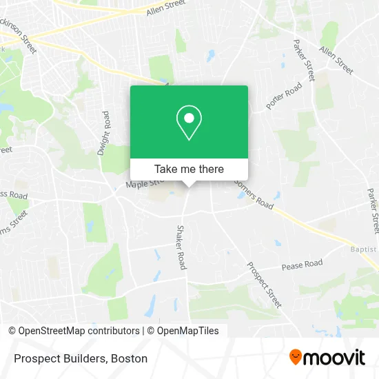
See Prospect Builders, Boston, on the map
Public Transit to Prospect Builders in Boston
Wondering how to get to Prospect Builders in Boston? Moovit helps you find the best way to get to Prospect Builders with step-by-step directions from the nearest public transit station.
Moovit provides free maps and live directions to help you navigate through your city. View schedules, routes, timetables, and find out how long does it take to get to Prospect Builders in real time.
Looking for the nearest stop or station to Prospect Builders? Check out this list of stops closest to your destination: Chestnut / Shaker.
Bus: G2.
Want to see if there’s another route that gets you there at an earlier time? Moovit helps you find alternative routes or times. Get directions from and directions to Prospect Builders easily from the Moovit App or Website.
We make riding to Prospect Builders easy, which is why over 1.7 million users, including users in Boston, trust Moovit as the best app for public transit. You don’t need to download an individual bus app or train app, Moovit is your all-in-one transit app that helps you find the best bus time or train time available.
For information on prices of bus, costs and ride fares to Prospect Builders, please check the Moovit app.
Use the app to navigate to popular places including to the airport, hospital, stadium, grocery store, mall, coffee shop, school, college, and university.
Prospect Builders Address: 147 Shaker Rd street in Boston
- Shaker Bowl,
- Saint Michael's Catholic Church,
- Lenox American Saw & Manufacturing Company,
- Bon Fire,
- Lower Pioneer Valley Educational,
- East Longmeadow High,
- Leahy Baseball Field,
- Train Depot,
- Green/Wich,
- Walgreens,
- Chipotle,
- East Longmeadow Town Hall,
- Powerclean Fitness,
- Center Square Grille,
- Healthtrax East Longmeadow,
- Starbucks,
- Gas Station,
- Rocky's Ace Hardware,
- Doctor's Office,
- Calkins Ave. Cons. Area
Places Near Prospect Builders (Boston)
- Boston Convention & Exhibition Center, Boston,
- Mgm Music Hall, Boston,
- Quincy Market, Boston,
- North End, Boston,
- Boston Children's Hospital, Boston,
- Leader Bank Pavilion (Leader Bank Pavillion), Boston,
- Wang Theater, Boston,
- Seaport District, Boston,
- Prudential Center, Boston,
- House Of Blues, Boston,
- Cheers, Boston,
- Isabella Stewart Gardner Museum, Boston,
- Massachusetts General Hospital, Boston,
- Wilbur Theatre, Boston,
- Boston Common, Boston,
- Castle Island, Boston,
- Faneuil Hall, Boston,
- Td Garden, Boston,
- Museum Of Science, Boston,
- Boston Medical Center, Boston
How to get to popular places in Boston with public transit
Get around Boston by public transit!
Traveling around Boston has never been so easy. See step by step directions as you travel to any attraction, street or major public transit station. View bus and train schedules, arrival times, service alerts and detailed routes on a map, so you know exactly how to get to anywhere in Boston.
When traveling to any destination around Boston use Moovit's Live Directions with Get Off Notifications to know exactly where and how far to walk, how long to wait for your line, and how many stops are left. Moovit will alert you when it's time to get off — no need to constantly re-check whether yours is the next stop.
Wondering how to use public transit in Boston or how to pay for public transit in Boston? Moovit public transit app can help you navigate your way with public transit easily, and at minimum cost. It includes public transit fees, ticket prices, and costs. Looking for a map of Boston public transit lines? Moovit public transit app shows all public transit maps in Boston with all Bus, Train, Subway and Ferry routes and stops on an interactive map.
Boston has 4 transit type(s), including: Bus, Train, Subway and Ferry, operated by several transit agencies, including MBTA, Southeastern Regional Transit Authority, MetroWest Regional Transit Authority, Rhode Island Public Transit Authority, WRTA, Lowell Regional Transit Authority, Merrimack Valley Transit, Montachusett Regional Transit Authority, Cape Cod Regional Transit Authority, Brockton Area Transit Authority, Martha's Vineyard Transit Authority, the WAVE - Nantucket Regional Transit Authority, GATRA, Cape Ann Transportation Authority and Massport