Directions to Providence (Boston) with public transportation
The following transit lines have routes that pass near Providence
 Bus: 1, 18, 30, 31, 17.
- Train: PROVIDENCE LINE SHUTTLE, PROVIDENCE LINE SHUTTLE, PROVIDENCE LINE SHUTTLE, FOXBORO EVENT SERVICE, PROVIDENCE/STOUGHTON.
How to get to Providence by bus?
Click on the bus route to see step by step directions with maps, line arrival times and updated time schedules.
Bus stops near Providence in Boston
Train stations near Providence in Boston
- Providence, 31 min walk,VIEW
Bus lines to Providence in Boston
What are the closest stations to Providence?
The closest stations to Providence are:
- Union Opposite Cumerford is 55 yards away, 1 min walk.
- Pocasset Opposite Daniel is 264 yards away, 4 min walk.
- Jennings Manor is 669 yards away, 8 min walk.
- Providence is 2549 yards away, 31 min walk.
Which bus lines stop near Providence?
These bus lines stop near Providence: 1, 18, 30, 31.
What’s the nearest bus station to Providence in Boston?
The nearest bus station to Providence in Boston is Union Opposite Cumerford. It’s a 1 min walk away.
What time is the first train to Providence in Boston?
The PROVIDENCE/STOUGHTON is the first train that goes to Providence in Boston. It stops nearby at 4:10 AM.
What time is the last train to Providence in Boston?
The NORTHEAST REGIONAL is the last train that goes to Providence in Boston. It stops nearby at 9:17 AM.
What time is the first bus to Providence in Boston?
The 17 is the first bus that goes to Providence in Boston. It stops nearby at 6:05 AM.
What time is the last bus to Providence in Boston?
The 17 is the last bus that goes to Providence in Boston. It stops nearby at 10:13 PM.
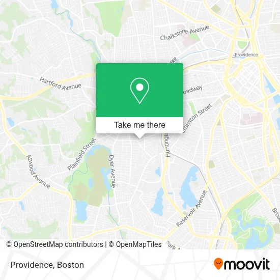
See Providence, Boston, on the map
Public Transit to Providence in Boston
Wondering how to get to Providence in Boston? Moovit helps you find the best way to get to Providence with step-by-step directions from the nearest public transit station.
Moovit provides free maps and live directions to help you navigate through your city. View schedules, routes, timetables, and find out how long does it take to get to Providence in real time.
Looking for the nearest stop or station to Providence? Check out this list of stops closest to your destination: Union Opposite Cumerford; Pocasset Opposite Daniel; Jennings Manor; Providence.
Bus: 1, 18, 30, 31, 17, WM.Train: PROVIDENCE LINE SHUTTLE, PROVIDENCE LINE SHUTTLE, PROVIDENCE LINE SHUTTLE, FOXBORO EVENT SERVICE, PROVIDENCE/STOUGHTON, ACELA, NORTHEAST REGIONAL.
Want to see if there’s another route that gets you there at an earlier time? Moovit helps you find alternative routes or times. Get directions from and directions to Providence easily from the Moovit App or Website.
We make riding to Providence easy, which is why over 1.7 million users, including users in Boston, trust Moovit as the best app for public transit. You don’t need to download an individual bus app or train app, Moovit is your all-in-one transit app that helps you find the best bus time or train time available.
For information on prices of bus and train, costs and ride fares to Providence, please check the Moovit app.
Use the app to navigate to popular places including to the airport, hospital, stadium, grocery store, mall, coffee shop, school, college, and university.
Location: Boston
- Gold Cafe Bar & Grill,
- Cotoia Plumbing & Heating,
- Ivette Multiservices,
- Cafeteria Joyabateca,
- Rp3 Productions,
- Record Nations,
- Arc,
- Ri Homes for Sale,
- Carol Multiservices LLC,
- Carol's Multi-Service,
- Chad Jase,
- Fly Stylin,
- Gilmar A Vargas,
- Too Litt the Label,
- General Soto Construct,
- B.E. Lopez Construction,
- Achievement First Providence H,
- Natural Painting,
- Sofia Laundry Mat,
- Union Beauty Salon Co.
Places Near Providence (Boston)
- Faneuil Hall, Boston,
- Boston Medical Center, Boston,
- Museum Of Science, Boston,
- Td Garden, Boston,
- Castle Island, Boston,
- Mgm Music Hall, Boston,
- Prudential Center, Boston,
- Leader Bank Pavilion (Leader Bank Pavillion), Boston,
- Boston Children's Hospital, Boston,
- North End, Boston,
- Seaport District, Boston,
- Quincy Market, Boston,
- Cheers, Boston,
- Wang Theater, Boston,
- Isabella Stewart Gardner Museum, Boston,
- Wilbur Theatre, Boston,
- Massachusetts General Hospital, Boston,
- House Of Blues, Boston,
- Boston Common, Boston,
- Boston Convention & Exhibition Center, Boston
How to get to popular places in Boston with public transit
Get around Boston by public transit!
Traveling around Boston has never been so easy. See step by step directions as you travel to any attraction, street or major public transit station. View bus and train schedules, arrival times, service alerts and detailed routes on a map, so you know exactly how to get to anywhere in Boston.
When traveling to any destination around Boston use Moovit's Live Directions with Get Off Notifications to know exactly where and how far to walk, how long to wait for your line, and how many stops are left. Moovit will alert you when it's time to get off — no need to constantly re-check whether yours is the next stop.
Wondering how to use public transit in Boston or how to pay for public transit in Boston? Moovit public transit app can help you navigate your way with public transit easily, and at minimum cost. It includes public transit fees, ticket prices, and costs. Looking for a map of Boston public transit lines? Moovit public transit app shows all public transit maps in Boston with all Bus, Train, Subway and Ferry routes and stops on an interactive map.
Boston has 4 transit type(s), including: Bus, Train, Subway and Ferry, operated by several transit agencies, including MBTA, Southeastern Regional Transit Authority, MetroWest Regional Transit Authority, Rhode Island Public Transit Authority, WRTA, Lowell Regional Transit Authority, Merrimack Valley Transit, Montachusett Regional Transit Authority, Cape Cod Regional Transit Authority, Brockton Area Transit Authority, Martha's Vineyard Transit Authority, the WAVE - Nantucket Regional Transit Authority, GATRA, Cape Ann Transportation Authority and Massport