R. Luís Gois, 635 stop - Thursday schedule
| Line | Direction | Time |
|---|---|---|
| 4716-10 | Metrô Tamanduateí | 5:27 AM |
| 4716-10 | Metrô Tamanduateí | 5:47 AM |
| 4716-10 | Metrô Tamanduateí | 6:03 AM |
| 4716-10 | Metrô Tamanduateí | 6:18 AM |
| 4716-10 | Metrô Tamanduateí | 6:29 AM |
| 4716-10 | Metrô Tamanduateí | 6:40 AM |
| 4716-10 | Metrô Tamanduateí | 6:51 AM |
| 4716-10 | Metrô Tamanduateí | 7:02 AM |
| 4716-10 | Metrô Tamanduateí | 7:18 AM |
| 4716-10 | Metrô Tamanduateí | 7:27 AM |
| 4716-10 | Metrô Tamanduateí | 7:36 AM |
| 4716-10 | Metrô Tamanduateí | 7:47 AM |
| 4716-10 | Metrô Tamanduateí | 7:55 AM |
| 4716-10 | Metrô Tamanduateí | 8:06 AM |
| 4716-10 | Metrô Tamanduateí | 8:17 AM |
| 4716-10 | Metrô Tamanduateí | 8:27 AM |
| 4716-10 | Metrô Tamanduateí | 8:37 AM |
| 4716-10 | Metrô Tamanduateí | 8:48 AM |
| 4716-10 | Metrô Tamanduateí | 9:00 AM |
| 4716-10 | Metrô Tamanduateí | 9:12 AM |
| 4716-10 | Metrô Tamanduateí | 9:24 AM |
| 4716-10 | Metrô Tamanduateí | 9:36 AM |
| 4716-10 | Metrô Tamanduateí | 9:48 AM |
| 4716-10 | Metrô Tamanduateí | 10:00 AM |
| 4716-10 | Metrô Tamanduateí | 10:11 AM |
Directions to R. Luís Gois, 635 stop (Saúde) with public transit
The following transit lines have routes that pass near R. Luís Gois, 635
 Bus: 4716-10, 5290-10, 6338-10, 875A-10, 577T-10.
- Metro: LINHA 1, LINHA 5, LINHA 2.
How to get to R. Luís Gois, 635 stop by bus?
Click on the bus route to see step by step directions with maps, line arrival times and updated time schedules.
How to get to R. Luís Gois, 635 stop by metro?
Click on the metro route to see step by step directions with maps, line arrival times and updated time schedules.
Bus stops near R. Luís Gois, 635 stop in Saúde
- R. Pe. Machado, 43, 3 min walk,
- R. Luís Gois, 181, 3 min walk,
- R. Afonso Celso, 1337, 4 min walk,
- R. Domingos de Morais, 3015, 5 min walk,
Metro stations near R. Luís Gois, 635 station in Saúde
- Santos-Imigrantes, 12 min walk,
- Praça da Árvore, 16 min walk,
- Hospital São Paulo, 16 min walk,
Bus lines to R. Luís Gois, 635 stop in Saúde
- 577T-10, Metrô Ana Rosa,
- 6338-10, Pq. Ibirapuera,
- 4716-10, Metrô Tamanduateí,
- 475R-10, Jardim São Savério - Terminal Parque Dom Pedro Ii,
- 502J-10, Estação Autódromo - Metrô Santa Cruz,
- 4718-10, Jardim Celeste - Metrô Santa Cruz (Circular),
- 5123-10, Jardim Miriam - Hospital São Paulo,
- 5164-10, Vila Santa Catarina - Parque Ibirapuera (Circular),
- 5164-21, Cidade Leonor - Parque Ibirapuera (Circular),
- 574A-10, Americanópolis - Largo Cambuci,
- 574A-21, Americanópolis - Metrô Vila Mariana,
- N604-11, Metrô Jabaquara - Terminal Parque Dom Pedro Ii,
- 875A-10, Aeroporto - Perdizes,
- 5106-10, Mar Paulista - Largo São Francisco,
- 5290-10, Domv. Domadema - Terminal Parque Dom Pedro Ii,
- 5791-10, Eldorado - Metrô Vergueiro,
What are the closest stations to R. Luís Gois, 635?
The closest stations to R. Luís Gois, 635 are:
- R. Pe. Machado, 43 stop is 149 meters away, 3 min walk.
- R. Luís Gois, 181 stop is 170 meters away, 3 min walk.
- R. Afonso Celso, 1337 stop is 227 meters away, 4 min walk.
- R. Domingos de Morais, 3015 stop is 364 meters away, 5 min walk.
- Santos-Imigrantes station is 918 meters away, 12 min walk.
- Praça da Árvore station is 1211 meters away, 16 min walk.
- Hospital São Paulo station is 1249 meters away, 16 min walk.
Which bus lines stop near R. Luís Gois, 635?
These bus lines stop near R. Luís Gois, 635: 4716-10, 5290-10, 6338-10, 875A-10.
Which metro lines stop near R. Luís Gois, 635?
These metro lines stop near R. Luís Gois, 635: LINHA 1, LINHA 5.
What’s the nearest metro station to R. Luís Gois, 635 in Saúde?
The nearest metro station to R. Luís Gois, 635 in Saúde is Santos-Imigrantes. It’s a 12 min walk away.
What’s the nearest bus station to R. Luís Gois, 635 in Saúde?
The nearest bus stations to R. Luís Gois, 635 in Saúde are R. Pe. Machado, 43 and R. Luís Gois, 181. The closest one is a 3 min walk away.
What time is the first metro to R. Luís Gois, 635 in Saúde?
The LINHA 5 is the first metro that goes to R. Luís Gois, 635 in Saúde. It stops nearby at 4:40 AM.
What time is the last metro to R. Luís Gois, 635 in Saúde?
The LINHA 1 is the last metro that goes to R. Luís Gois, 635 in Saúde. It stops nearby at 12:35 AM.
What time is the first bus to R. Luís Gois, 635 in Saúde?
The N604-11 is the first bus that goes to R. Luís Gois, 635 in Saúde. It stops nearby at 3:20 AM.
What time is the last bus to R. Luís Gois, 635 in Saúde?
The N604-11 is the last bus that goes to R. Luís Gois, 635 in Saúde. It stops nearby at 2:58 AM.
R. Luís Gois, 635 station
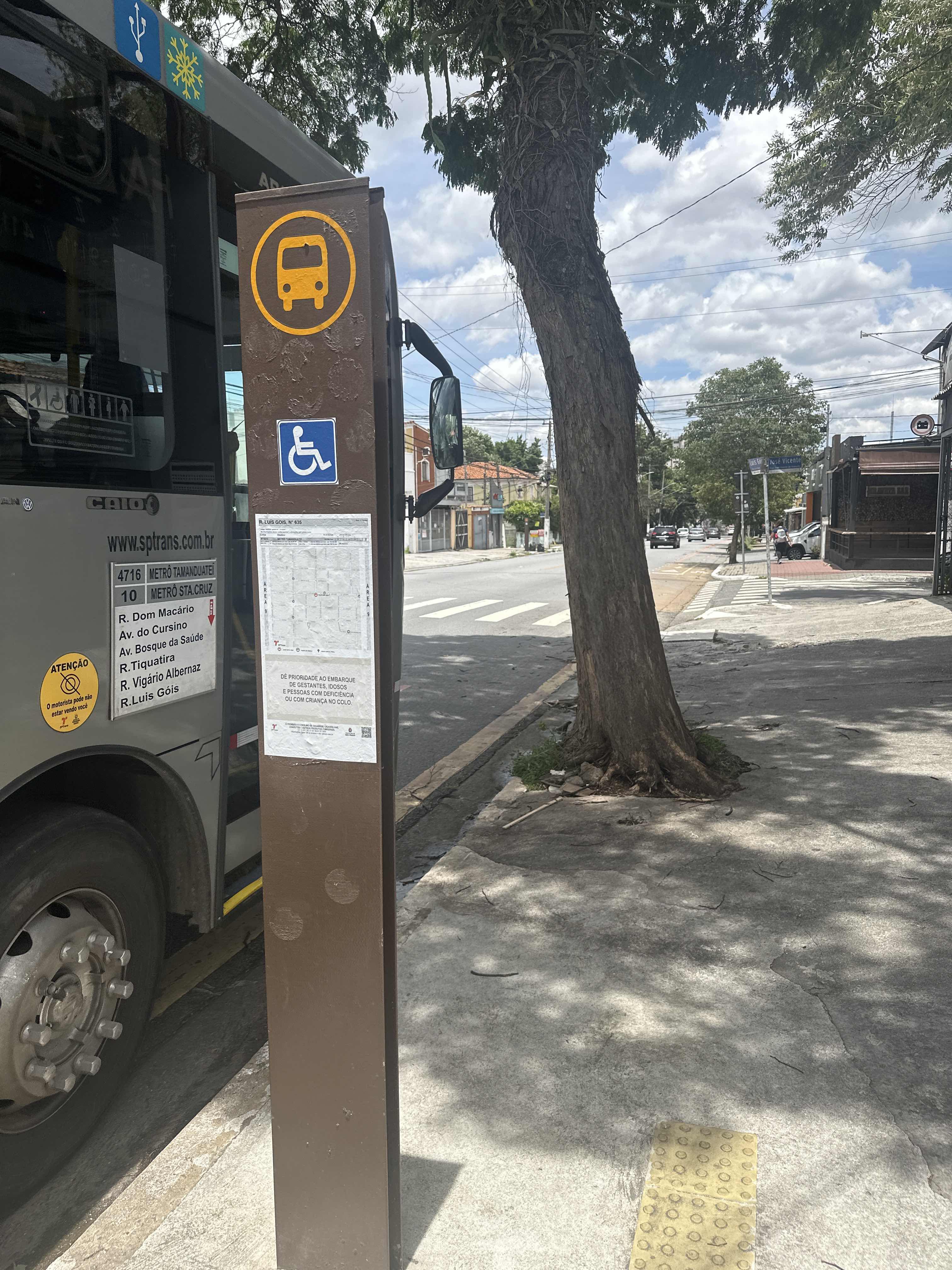 Taken by Anonymous
See R. Luís Gois, 635 stop, Saúde, on the map
Public transit to R. Luís Gois, 635 stop in Saúde
Looking for directions to R. Luís Gois, 635 in Saúde, Brazil?
Download the Moovit App to find the current schedule and step-by-step directions for Bus, Metro or Train routes that pass through R. Luís Gois, 635.
Looking for the nearest stops closest to R. Luís Gois, 635 ? Check out this list of closest stops to your destination: R. Pe. Machado; R. Luís Gois; R. Afonso Celso; R. Domingos de Morais; Santos-Imigrantes; Praça da Árvore; Hospital São Paulo.
Bus: 4716-10, 5290-10, 6338-10, 875A-10, 577T-10, 475R-10, 502J-10, 4718-10, 5123-10, 5164-10.Metro: LINHA 1, LINHA 5, LINHA 2.
We make riding on public transit to R. Luís Gois, 635 easy, which is why over 1.7 billion users, including users in Saúde trust Moovit as the best app for public transit.
Use the app to navigate to popular places including to the airport, hospital, stadium, grocery store, mall, coffee shop, school, college, and university.
The first line to this stop is 4716-10, at 5:27 AM, and the last line is 4716-10 at 12:36 AM.
632 Rua Luis Góis, São Paulo, Brazil
This stop serves SPTrans’s lines
- R. Pe. Machado, 43,
- R. Luís Gois, 181,
- R. Afonso Celso, 1337,
- R. Domingos de Morais, 3015
Bus stops near R. Luís Gois, 635 stop
- Santos-Imigrantes,
- Praça da Árvore,
- Hospital São Paulo
Metro stations near R. Luís Gois, 635 station
- Avenida Itaquera 8251,
- Av. Aricanduva, 5555,
- Av. Luiz Carlos Gentile de Laet, 2500,
- Av. Cipriano Rodrigues, 240,
- Parada 1/2/3 - Júlio César da Silva,
- Av. Diógenes Ribeiro de Lima, 2200,
- Av. Jurubatuba, 73,
- Galeria Prestes Maia,
- R. Bento Branco de Andrade Filho, 379,
- Jardim Romano,
- Av. Sumaré, 73,
- Av. João Pedro Cardoso, 158,
- Av. Paulo Faccini, 277 - Jardim Madeirense, Guarulhos,
- Sabesp 2 • Metrô Borba Gato,
- Av. Forte do Leme, 360,
- R. Francisco Lotufo, 24,
- Av. Imirim, 1180,
- Av. das Nações Unidas, 21612,
- R. Acurui, 493
Popular public transit stations in Saúde
Get around Saúde by public transit!
Traveling around Saúde has never been so easy. See step by step directions as you travel to any attraction, street or major public transit station. View bus and train schedules, arrival times, service alerts and detailed routes on a map, so you know exactly how to get to anywhere in Saúde.
When traveling to any destination around Saúde use Moovit's Live Directions with Get Off Notifications to know exactly where and how far to walk, how long to wait for your line, and how many stops are left. Moovit will alert you when it's time to get off — no need to constantly re-check whether yours is the next stop.
Wondering how to use public transit in Saúde or how to pay for public transit in Saúde? Moovit public transit app can help you navigate your way with public transit easily, and at minimum cost. It includes public transit fees, ticket prices, and costs. Looking for a map of Saúde public transit lines? Moovit public transit app shows all public transit maps in Saúde with all Bus, Train, Metro, Light Rail, Ferry, Gondola, Cable Car and Funicular routes and stops on an interactive map.
Sao Paulo Region has 8 transit type(s), including: Bus, Train, Metro, Light Rail, Ferry, Gondola, Cable Car and Funicular, operated by several transit agencies, including SPTrans, CPTM, ViaMobilidade, Aquático SP, SPTRANS, EMTU, ViaQuatro, Auto Ônibus Moratense, GRU Airport (Aeroporto de Guarulhos), Auto Viação Urubupungá (Cajamar), Viação Cometa, Auto Viação Urubupungá (Osasco), Viação Ultra / Rápido Brasil, Auto Viação Urubupungá (Santana de Parnaíba) and Expresso Luxo