Directions to Rcn (Boston) with public transportation
The following transit lines have routes that pass near Rcn
 Bus: 24, 32, 33, 50, 39.
- Train: FAIRMOUNT, PROVIDENCE/STOUGHTON, FAIRMOUNT LINE SHUTTLE, FRANKLIN/FOXBORO.
- Subway: MATTAPAN LINE.
How to get to Rcn by bus?
Click on the bus route to see step by step directions with maps, line arrival times and updated time schedules.
From Quincy Market, Quincy
64 minFrom Harvard Vanguard - Kenmore, Boston
57 minFrom Roxbury, Boston
43 minFrom Dorchester District Court, Boston
42 minFrom Homewood Suites by Hilton Boston Brookline-Longwood Medical, Brookline
45 minFrom The Verb Hotel, Boston
54 minFrom Guitar Center, Boston
54 minFrom Symphony Hall, Boston
50 minFrom The Wilbur, Boston
44 minFrom Arnold Arboretum, Boston
26 min
How to get to Rcn by train?
Click on the train route to see step by step directions with maps, line arrival times and updated time schedules.
From Quincy Market, Quincy
62 minFrom Harvard Vanguard - Kenmore, Boston
56 minFrom Roxbury, Boston
47 minFrom Dorchester District Court, Boston
28 minFrom The Verb Hotel, Boston
54 minFrom Guitar Center, Boston
54 minFrom Symphony Hall, Boston
48 minFrom The Wilbur, Boston
30 minFrom Arnold Arboretum, Boston
90 min
How to get to Rcn by subway?
Click on the subway route to see step by step directions with maps, line arrival times and updated time schedules.
From Quincy Market, Quincy
86 minFrom Harvard Vanguard - Kenmore, Boston
100 minFrom Roxbury, Boston
96 minFrom Dorchester District Court, Boston
70 minFrom Homewood Suites by Hilton Boston Brookline-Longwood Medical, Brookline
106 minFrom The Verb Hotel, Boston
100 minFrom Guitar Center, Boston
100 minFrom Symphony Hall, Boston
90 minFrom The Wilbur, Boston
85 min
Bus stops near Rcn in Boston
Train station near Rcn in Boston
- Fairmount, 3 min walk,VIEW
Bus lines to Rcn in Boston
What are the closest stations to Rcn?
The closest stations to Rcn are:
- Fairmount Ave Opp Pierce St is 54 yards away, 1 min walk.
- Fairmount is 194 yards away, 3 min walk.
- River St @ Way St is 195 yards away, 3 min walk.
- Hyde Park Ave @ Harvard Ave is 350 yards away, 5 min walk.
Which bus lines stop near Rcn?
These bus lines stop near Rcn: 24, 32, 33, 50.
Which train lines stop near Rcn?
These train lines stop near Rcn: FAIRMOUNT, PROVIDENCE/STOUGHTON.
Which subway line stops near Rcn?
MATTAPAN LINE (Mattapan)
What’s the nearest train station to Rcn in Boston?
The nearest train station to Rcn in Boston is Fairmount. It’s a 3 min walk away.
What’s the nearest bus station to Rcn in Boston?
The nearest bus station to Rcn in Boston is Fairmount Ave Opp Pierce St. It’s a 1 min walk away.
What time is the first train to Rcn in Boston?
The FAIRMOUNT is the first train that goes to Rcn in Boston. It stops nearby at 4:33 AM.
What time is the last train to Rcn in Boston?
The PROVIDENCE/STOUGHTON is the last train that goes to Rcn in Boston. It stops nearby at 12:22 AM.
What time is the first bus to Rcn in Boston?
The 39 is the first bus that goes to Rcn in Boston. It stops nearby at 4:25 AM.
What time is the last bus to Rcn in Boston?
The 32 is the last bus that goes to Rcn in Boston. It stops nearby at 1:30 AM.
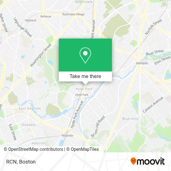
See Rcn, Boston, on the map
Public Transit to Rcn in Boston
Wondering how to get to Rcn in Boston? Moovit helps you find the best way to get to Rcn with step-by-step directions from the nearest public transit station.
Moovit provides free maps and live directions to help you navigate through your city. View schedules, routes, timetables, and find out how long does it take to get to Rcn in real time.
Looking for the nearest stop or station to Rcn? Check out this list of stops closest to your destination: Fairmount Ave Opp Pierce St; Fairmount; River St @ Way St; Hyde Park Ave @ Harvard Ave.
Bus: 24, 32, 33, 50, 39.Train: FAIRMOUNT, PROVIDENCE/STOUGHTON, FAIRMOUNT LINE SHUTTLE, FRANKLIN/FOXBORO.Subway: MATTAPAN LINE.
Want to see if there’s another route that gets you there at an earlier time? Moovit helps you find alternative routes or times. Get directions from and directions to Rcn easily from the Moovit App or Website.
We make riding to Rcn easy, which is why over 1.7 million users, including users in Boston, trust Moovit as the best app for public transit. You don’t need to download an individual bus app or train app, Moovit is your all-in-one transit app that helps you find the best bus time or train time available.
For information on prices of bus, subway and train, costs and ride fares to Rcn, please check the Moovit app.
Use the app to navigate to popular places including to the airport, hospital, stadium, grocery store, mall, coffee shop, school, college, and university.
Rcn Address: 1224 Hyde Park Ave street in Boston
- Enliven Body Massage and Spa,
- Hidetada Moroi, DMD,
- La Familia Barber Shop Multi-Services LLC,
- Fairmount Automotive Specialists,
- DUNKIN',
- Sophonie Boutique,
- Lovely Nails (Lovely Nail & Waxing - Hyde Park),
- 23 / 7 Lock Repair,
- City Globe,
- Boston Public Library - Hyde Park Branch,
- Cleary Square,
- Boston Public Library,
- Hardware Store,
- Home America Realty & Investments,
- SK Convenience & Liquors,
- T-Mobile,
- Navy Federal Credit Union,
- The Pryde,
- Professional Consulting and Supervisory Services,
- May's Hha&Pca
Places Near Rcn (Boston)
- Quincy Market, Boston,
- Museum Of Science, Boston,
- Cheers, Boston,
- North End, Boston,
- Castle Island, Boston,
- Seaport District, Boston,
- Wilbur Theatre, Boston,
- Td Garden, Boston,
- Mgm Music Hall, Boston,
- Isabella Stewart Gardner Museum, Boston,
- Boston Children's Hospital, Boston,
- Boston Medical Center, Boston,
- Wang Theater, Boston,
- House Of Blues, Boston,
- Prudential Center, Boston,
- Faneuil Hall, Boston,
- Leader Bank Pavilion (Leader Bank Pavillion), Boston,
- Boston Common, Boston,
- Massachusetts General Hospital, Boston,
- Boston Convention & Exhibition Center, Boston
How to get to popular places in Boston with public transit
Get around Boston by public transit!
Traveling around Boston has never been so easy. See step by step directions as you travel to any attraction, street or major public transit station. View bus and train schedules, arrival times, service alerts and detailed routes on a map, so you know exactly how to get to anywhere in Boston.
When traveling to any destination around Boston use Moovit's Live Directions with Get Off Notifications to know exactly where and how far to walk, how long to wait for your line, and how many stops are left. Moovit will alert you when it's time to get off — no need to constantly re-check whether yours is the next stop.
Wondering how to use public transit in Boston or how to pay for public transit in Boston? Moovit public transit app can help you navigate your way with public transit easily, and at minimum cost. It includes public transit fees, ticket prices, and costs. Looking for a map of Boston public transit lines? Moovit public transit app shows all public transit maps in Boston with all Bus, Train, Subway and Ferry routes and stops on an interactive map.
Boston has 4 transit type(s), including: Bus, Train, Subway and Ferry, operated by several transit agencies, including MBTA, Southeastern Regional Transit Authority, MetroWest Regional Transit Authority, Rhode Island Public Transit Authority, WRTA, Lowell Regional Transit Authority, Merrimack Valley Transit, Montachusett Regional Transit Authority, Cape Cod Regional Transit Authority, Brockton Area Transit Authority, Martha's Vineyard Transit Authority, the WAVE - Nantucket Regional Transit Authority, GATRA, Cape Ann Transportation Authority and Massport