Directions to Red Dwg Library Coworking Lounge (Boston) with public transportation
The following transit lines have routes that pass near Red Dwg Library Coworking Lounge
 Bus: 1, 12, 76, 80.
- Train: PROVIDENCE/STOUGHTON, FOXBORO EVENT SERVICE.
How to get to Red Dwg Library Coworking Lounge by bus?
Click on the bus route to see step by step directions with maps, line arrival times and updated time schedules.
How to get to Red Dwg Library Coworking Lounge by train?
Click on the train route to see step by step directions with maps, line arrival times and updated time schedules.
Bus stops near Red Dwg Library Coworking Lounge in Boston
Train station near Red Dwg Library Coworking Lounge in Boston
- Pawtucket/Central Falls, 59 min walk,VIEW
Bus lines to Red Dwg Library Coworking Lounge in Boston
What are the closest stations to Red Dwg Library Coworking Lounge?
The closest stations to Red Dwg Library Coworking Lounge are:
- Armistice & York (After Alden) is 163 yards away, 3 min walk.
- Armistice & George Bennett is 361 yards away, 5 min walk.
- Pawtucket/Central Falls is 5042 yards away, 59 min walk.
Which bus lines stop near Red Dwg Library Coworking Lounge?
These bus lines stop near Red Dwg Library Coworking Lounge: 1, 12, 76, 80.
Which train line stops near Red Dwg Library Coworking Lounge?
PROVIDENCE/STOUGHTON (#824 | South Station)
What’s the nearest bus station to Red Dwg Library Coworking Lounge in Boston?
The nearest bus station to Red Dwg Library Coworking Lounge in Boston is Armistice & York (After Alden). It’s a 3 min walk away.
What time is the first train to Red Dwg Library Coworking Lounge in Boston?
The PROVIDENCE/STOUGHTON is the first train that goes to Red Dwg Library Coworking Lounge in Boston. It stops nearby at 4:16 AM.
What time is the last train to Red Dwg Library Coworking Lounge in Boston?
The PROVIDENCE/STOUGHTON is the last train that goes to Red Dwg Library Coworking Lounge in Boston. It stops nearby at 12:56 AM.
What time is the first bus to Red Dwg Library Coworking Lounge in Boston?
The 80 is the first bus that goes to Red Dwg Library Coworking Lounge in Boston. It stops nearby at 5:54 AM.
What time is the last bus to Red Dwg Library Coworking Lounge in Boston?
The 80 is the last bus that goes to Red Dwg Library Coworking Lounge in Boston. It stops nearby at 7:13 PM.
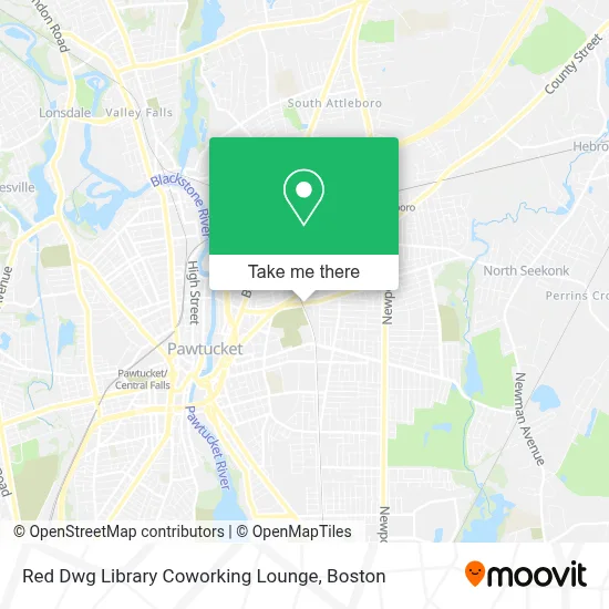
See Red Dwg Library Coworking Lounge, Boston, on the map
Public Transit to Red Dwg Library Coworking Lounge in Boston
Wondering how to get to Red Dwg Library Coworking Lounge in Boston? Moovit helps you find the best way to get to Red Dwg Library Coworking Lounge with step-by-step directions from the nearest public transit station.
Moovit provides free maps and live directions to help you navigate through your city. View schedules, routes, timetables, and find out how long does it take to get to Red Dwg Library Coworking Lounge in real time.
Looking for the nearest stop or station to Red Dwg Library Coworking Lounge? Check out this list of stops closest to your destination: Armistice & York (After Alden); Armistice & George Bennett; Pawtucket/Central Falls.
Bus: 1, 12, 76, 80.Train: PROVIDENCE/STOUGHTON, FOXBORO EVENT SERVICE.
Want to see if there’s another route that gets you there at an earlier time? Moovit helps you find alternative routes or times. Get directions from and directions to Red Dwg Library Coworking Lounge easily from the Moovit App or Website.
We make riding to Red Dwg Library Coworking Lounge easy, which is why over 1.7 million users, including users in Boston, trust Moovit as the best app for public transit. You don’t need to download an individual bus app or train app, Moovit is your all-in-one transit app that helps you find the best bus time or train time available.
For information on prices of bus and train, costs and ride fares to Red Dwg Library Coworking Lounge, please check the Moovit app.
Use the app to navigate to popular places including to the airport, hospital, stadium, grocery store, mall, coffee shop, school, college, and university.
Red Dwg Library Coworking Lounge Address: 413 Central Ave street in Boston
- Chantelle's Dance Academy,
- Sid Tool,
- Donald Siegel - Mortgage Loan Officer,
- Beatbymaggz,
- Pawtucket Fire Department Station 4,
- Wallace Landscaping & Snow Removal,
- SLM LLC Properties,
- Excel Companies,
- Pawtucket Long Distance Moving,
- Citizens Bank & Trust,
- Beatbox Studio,
- Spin King Laundromat,
- Laundromax,
- Coinstar - Bitcoin ATM,
- Shell Recharge,
- Taqueria El Buen Pastor,
- Curves,
- Sewrite Embroidery & Screen Printing,
- Graham, MF & Son,
- Seven Days Appliance Repair
Places Near Red Dwg Library Coworking Lounge (Boston)
- Leader Bank Pavilion (Leader Bank Pavillion), Boston,
- Boston Medical Center, Boston,
- Wilbur Theatre, Boston,
- Prudential Center, Boston,
- House Of Blues, Boston,
- Boston Common, Boston,
- Quincy Market, Boston,
- Isabella Stewart Gardner Museum, Boston,
- Boston Children's Hospital, Boston,
- Seaport District, Boston,
- Cheers, Boston,
- Mgm Music Hall, Boston,
- Faneuil Hall, Boston,
- Wang Theater, Boston,
- Castle Island, Boston,
- Massachusetts General Hospital, Boston,
- North End, Boston,
- Boston Convention & Exhibition Center, Boston,
- Museum Of Science, Boston,
- Td Garden, Boston
How to get to popular places in Boston with public transit
Get around Boston by public transit!
Traveling around Boston has never been so easy. See step by step directions as you travel to any attraction, street or major public transit station. View bus and train schedules, arrival times, service alerts and detailed routes on a map, so you know exactly how to get to anywhere in Boston.
When traveling to any destination around Boston use Moovit's Live Directions with Get Off Notifications to know exactly where and how far to walk, how long to wait for your line, and how many stops are left. Moovit will alert you when it's time to get off — no need to constantly re-check whether yours is the next stop.
Wondering how to use public transit in Boston or how to pay for public transit in Boston? Moovit public transit app can help you navigate your way with public transit easily, and at minimum cost. It includes public transit fees, ticket prices, and costs. Looking for a map of Boston public transit lines? Moovit public transit app shows all public transit maps in Boston with all Bus, Train, Subway and Ferry routes and stops on an interactive map.
Boston has 4 transit type(s), including: Bus, Train, Subway and Ferry, operated by several transit agencies, including MBTA, Southeastern Regional Transit Authority, MetroWest Regional Transit Authority, Rhode Island Public Transit Authority, WRTA, Lowell Regional Transit Authority, Merrimack Valley Transit, Montachusett Regional Transit Authority, Cape Cod Regional Transit Authority, Brockton Area Transit Authority, Martha's Vineyard Transit Authority, the WAVE - Nantucket Regional Transit Authority, GATRA, Cape Ann Transportation Authority and Massport