Saint-Charles / Mont Gros stop - Saturday schedule
| Line | Direction | Time |
|---|---|---|
| 84 | Baie Des Fourmis | 06:30 |
| 84 | Riquier | 07:01 |
| 84 | Plateau Saint-Michel | 07:35 |
| 84 | Riquier | 07:43 |
| 84 | Baie Des Fourmis | 08:25 |
| 84 | Riquier | 08:53 |
| 84 | Baie Des Fourmis | 09:10 |
| 84 | Riquier | 09:38 |
| 84 | Baie Des Fourmis | 09:55 |
| 84 | Riquier | 10:23 |
| 84 | Baie Des Fourmis | 10:40 |
| 84 | Riquier | 10:58 |
| 84 | Baie Des Fourmis | 11:25 |
| 84 | Riquier | 11:43 |
| 84 | Baie Des Fourmis | 12:10 |
| 84 | Riquier | 12:38 |
| 84 | Baie Des Fourmis | 12:55 |
| 84 | Riquier | 13:23 |
| 84 | Baie Des Fourmis | 13:40 |
| 84 | Riquier | 14:08 |
| 84 | Baie Des Fourmis | 14:25 |
| 84 | Riquier | 14:53 |
| 84 | Baie Des Fourmis | 15:10 |
| 84 | Riquier | 15:28 |
| 84 | Baie Des Fourmis | 16:00 |
Directions to Saint-Charles / Mont Gros stop (Nice) with public transit
The following transit lines have routes that pass near Saint-Charles / Mont Gros
How to get to Saint-Charles / Mont Gros stop by bus?
Click on the bus route to see step by step directions with maps, line arrival times and updated time schedules.
How to get to Saint-Charles / Mont Gros stop by train?
Click on the train route to see step by step directions with maps, line arrival times and updated time schedules.
Bus stops near Saint-Charles / Mont Gros stop in Nice
- Les Teiras, 2 min walk,
- Mont Gros, 8 min walk,
- Deux Corniches, 10 min walk,
- Roquebilière, 15 min walk,
- Pont Michel, 16 min walk,
Train stations near Saint-Charles / Mont Gros station in Nice
- Nice Pont Michel, 12 min walk,
Light Rail stations near Saint-Charles / Mont Gros station in Nice
- Saint-Charles, 19 min walk,
Bus lines to Saint-Charles / Mont Gros stop in Nice
- 84, Baie Des Fourmis,
- 18, Riquier,
- 80, Place Charles D'Anjou,
- 7, Ariane / Général Saramito,
- 14, Les Chênes Verts,
- 39, Complexe Sportif La Lauvette,
- EXP2, Pont Michel,
What are the closest stations to Saint-Charles / Mont Gros?
The closest stations to Saint-Charles / Mont Gros are:
- Les Teiras is 82 meters away, 2 min walk.
- Mont Gros is 601 meters away, 8 min walk.
- Deux Corniches is 732 meters away, 10 min walk.
- Nice Pont Michel is 885 meters away, 12 min walk.
- Roquebilière is 1156 meters away, 15 min walk.
- Pont Michel is 1223 meters away, 16 min walk.
- Saint-Charles is 1379 meters away, 19 min walk.
Which bus lines stop near Saint-Charles / Mont Gros?
These bus lines stop near Saint-Charles / Mont Gros: 12+, 18, 84.
Which train lines stop near Saint-Charles / Mont Gros?
These train lines stop near Saint-Charles / Mont Gros: C13, C3, P1.
Which light rail line stops near Saint-Charles / Mont Gros?
L1 (Hôpital Pasteur)
What’s the nearest light rail station to Saint-Charles / Mont Gros in Nice?
The nearest light rail station to Saint-Charles / Mont Gros in Nice is Saint-Charles. It’s a 19 min walk away.
What’s the nearest train station to Saint-Charles / Mont Gros in Nice?
The nearest train station to Saint-Charles / Mont Gros in Nice is Nice Pont Michel. It’s a 12 min walk away.
What’s the nearest bus station to Saint-Charles / Mont Gros in Nice?
The nearest bus station to Saint-Charles / Mont Gros in Nice is Les Teiras. It’s a 2 min walk away.
What time is the first light rail to Saint-Charles / Mont Gros in Nice?
The L1 is the first light rail that goes to Saint-Charles / Mont Gros in Nice. It stops nearby at 4:55 AM.
What time is the last light rail to Saint-Charles / Mont Gros in Nice?
The L1 is the last light rail that goes to Saint-Charles / Mont Gros in Nice. It stops nearby at 12:52 AM.
What time is the first train to Saint-Charles / Mont Gros in Nice?
The P1 is the first train that goes to Saint-Charles / Mont Gros in Nice. It stops nearby at 6:20 AM.
What time is the last train to Saint-Charles / Mont Gros in Nice?
The P1 is the last train that goes to Saint-Charles / Mont Gros in Nice. It stops nearby at 8:55 PM.
What time is the first bus to Saint-Charles / Mont Gros in Nice?
The EXP2 is the first bus that goes to Saint-Charles / Mont Gros in Nice. It stops nearby at 5:05 AM.
What time is the last bus to Saint-Charles / Mont Gros in Nice?
The 7 is the last bus that goes to Saint-Charles / Mont Gros in Nice. It stops nearby at 12:07 AM.
Saint-Charles / Mont Gros station
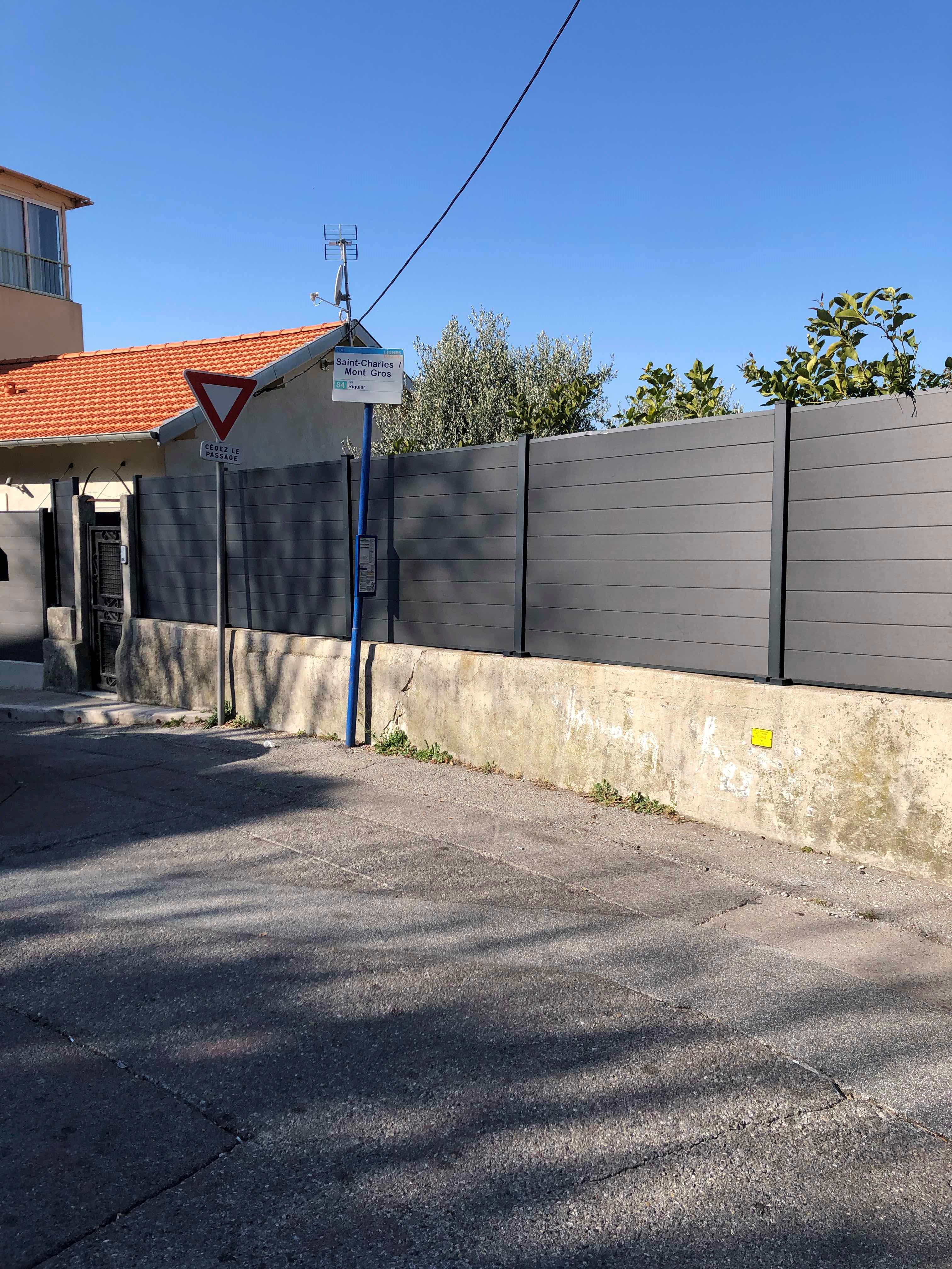 Taken by Anonymous
See Saint-Charles / Mont Gros stop, Nice, on the map
Public transit to Saint-Charles / Mont Gros stop in Nice
Looking for directions to Saint-Charles / Mont Gros in Nice, France?
Download the Moovit App to find the current schedule and step-by-step directions for Bus, Train or Light Rail routes that pass through Saint-Charles / Mont Gros.
Looking for the nearest stops closest to Saint-Charles / Mont Gros ? Check out this list of closest stops to your destination: Les Teiras; Mont Gros; Deux Corniches; Nice Pont Michel; Roquebilière; Pont Michel; Saint-Charles.
Bus: 12+, 18, 84, 80, 7, 14, 39, EXP2.Train: C13, C3, P1.Light Rail: L1.
We make riding on public transit to Saint-Charles / Mont Gros easy, which is why over 1.5 million users, including users in Nice trust Moovit as the best app for public transit.
Use the app to navigate to popular places including to the airport, hospital, stadium, grocery store, mall, coffee shop, school, college, and university.
The first line to this stop is 84, at 06:30, and the last line is 84 at 19:56.
Chemin Charles Roux, Nice, France
This stop serves Lignes d'Azur’s lines
Bus stops near Saint-Charles / Mont Gros stop
Train station near Saint-Charles / Mont Gros station
Light Rail station near Saint-Charles / Mont Gros station
Popular public transit stations in Nice
Get around Nice by public transit!
Traveling around Nice has never been so easy. See step by step directions as you travel to any attraction, street or major public transit station. View bus and train schedules, arrival times, service alerts and detailed routes on a map, so you know exactly how to get to anywhere in Nice.
When traveling to any destination around Nice use Moovit's Live Directions with Get Off Notifications to know exactly where and how far to walk, how long to wait for your line, and how many stops are left. Moovit will alert you when it's time to get off — no need to constantly re-check whether yours is the next stop.
Wondering how to use public transit in Nice or how to pay for public transit in Nice? Moovit public transit app can help you navigate your way with public transit easily, and at minimum cost. It includes public transit fees, ticket prices, and costs. Looking for a map of Nice public transit lines? Moovit public transit app shows all public transit maps in Nice with all Bus, Train and Light Rail routes and stops on an interactive map.
French riviera - Nice has 3 transit type(s), including: Bus, Train and Light Rail, operated by several transit agencies, including Lignes d'Azur, Zest, Grasse Sillages Réseau scolaire, Réseau urbain 2023, ENVIBUS, TUA TRANSDEV, KEOLIS, Valberg ❙ Navettes, Compagnie des Autobus de Monaco, Palm à la demande, SNCF VOYAGEURS, Palmbus, ZOU ! Express, ZOU ! Proximité and ZOU ! Scolaire