Directions to Smartlabs (Cambridge) with public transportation
The following transit lines have routes that pass near Smartlabs
 Bus: 1, 47, 70, 85, BB.
- Train: FITCHBURG, FRAMINGHAM/WORCESTER.
- Subway: RED LINE, GREEN LINE B.
How to get to Smartlabs by bus?
Click on the bus route to see step by step directions with maps, line arrival times and updated time schedules.
From Bentley University, Waltham
87 minFrom World Trade Center MBTA Station - Silver Line, Boston
58 minFrom 7F Everett Street, Revere
68 minFrom Uscis Biometrics Office, Revere
67 minFrom South Boston, Boston
56 minFrom Mount Ida College, Newton
80 minFrom McLean Hospital, Belmont
60 minFrom Massachusetts Water Resource Authority (MWRA), Chelsea
67 minFrom The Strand Theater, Boston
56 minFrom Winthrop, Winthrop Town
133 min
How to get to Smartlabs by train?
Click on the train route to see step by step directions with maps, line arrival times and updated time schedules.
How to get to Smartlabs by subway?
Click on the subway route to see step by step directions with maps, line arrival times and updated time schedules.
Bus stops near Smartlabs in Cambridge
Train station near Smartlabs in Cambridge
- Lansdowne, 2 min walk,VIEW
Subway stations near Smartlabs in Cambridge
Bus lines to Smartlabs in Cambridge
What are the closest stations to Smartlabs?
The closest stations to Smartlabs are:
- Brookline St @ Pacific St is 7 yards away, 1 min walk.
- Amesbury St @ Vassar St is 62 yards away, 2 min walk.
- Lansdowne is 143 yards away, 2 min walk.
- Pacific St. is 221 yards away, 3 min walk.
- Franklin St @ Sidney St is 424 yards away, 6 min walk.
- Central is 570 yards away, 7 min walk.
- Boston Univ. Central is 1892 yards away, 23 min walk.
Which bus lines stop near Smartlabs?
These bus lines stop near Smartlabs: 1, 47, 70, 85, BB, EZRIDE.
Which train lines stop near Smartlabs?
These train lines stop near Smartlabs: FITCHBURG, FRAMINGHAM/WORCESTER.
Which subway line stops near Smartlabs?
RED LINE (Alewife)
What’s the nearest subway station to Smartlabs in Cambridge?
The nearest subway station to Smartlabs in Cambridge is Central. It’s a 7 min walk away.
What’s the nearest train station to Smartlabs in Cambridge?
The nearest train station to Smartlabs in Cambridge is Lansdowne. It’s a 2 min walk away.
What’s the nearest bus station to Smartlabs in Cambridge?
The nearest bus station to Smartlabs in Cambridge is Brookline St @ Pacific St. It’s a 1 min walk away.
What time is the first subway to Smartlabs in Cambridge?
The RED LINE is the first subway that goes to Smartlabs in Cambridge. It stops nearby at 5:25 AM.
What time is the last subway to Smartlabs in Cambridge?
The GREEN LINE B is the last subway that goes to Smartlabs in Cambridge. It stops nearby at 2:15 AM.
What time is the first train to Smartlabs in Cambridge?
The FRAMINGHAM/WORCESTER is the first train that goes to Smartlabs in Cambridge. It stops nearby at 4:55 AM.
What time is the last train to Smartlabs in Cambridge?
The FRAMINGHAM/WORCESTER is the last train that goes to Smartlabs in Cambridge. It stops nearby at 12:06 AM.
What time is the first bus to Smartlabs in Cambridge?
The 70 is the first bus that goes to Smartlabs in Cambridge. It stops nearby at 4:25 AM.
What time is the last bus to Smartlabs in Cambridge?
The 47 is the last bus that goes to Smartlabs in Cambridge. It stops nearby at 1:03 AM.
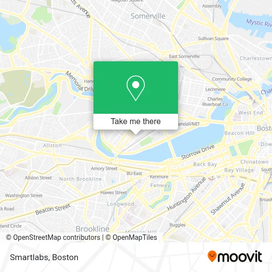
See Smartlabs, Cambridge, on the map
Public Transit to Smartlabs in Cambridge
Wondering how to get to Smartlabs in Cambridge? Moovit helps you find the best way to get to Smartlabs with step-by-step directions from the nearest public transit station.
Moovit provides free maps and live directions to help you navigate through your city. View schedules, routes, timetables, and find out how long does it take to get to Smartlabs in real time.
Looking for the nearest stop or station to Smartlabs? Check out this list of stops closest to your destination: Brookline St @ Pacific St; Amesbury St @ Vassar St; Lansdowne; Pacific St.; Franklin St @ Sidney St; Central; Boston Univ. Central.
Bus: 1, 47, 70, 85, BB, EZRIDE.Train: FITCHBURG, FRAMINGHAM/WORCESTER.Subway: RED LINE, GREEN LINE B.
Want to see if there’s another route that gets you there at an earlier time? Moovit helps you find alternative routes or times. Get directions from and directions to Smartlabs easily from the Moovit App or Website.
We make riding to Smartlabs easy, which is why over 1.7 million users, including users in Cambridge, trust Moovit as the best app for public transit. You don’t need to download an individual bus app or train app, Moovit is your all-in-one transit app that helps you find the best bus time or train time available.
For information on prices of bus, subway and train, costs and ride fares to Smartlabs, please check the Moovit app.
Use the app to navigate to popular places including to the airport, hospital, stadium, grocery store, mall, coffee shop, school, college, and university.
Smartlabs Address: 21 Erie St street in Cambridge
- Intellia Therapeutics,
- Flour Bakery,
- Sermo,
- Abbvie,
- Seres Therapeutics,
- Idera Pharmaceuticals, Inc.,
- sanofi aventis,
- Pro Garage Doors Repair Cambridge,
- MIT Simmons Hall (Building W79),
- Cambridge Brillante Academy 劍橋光慧書院,
- MIT Sidney-Pacific Graduate Residence (Building NW86),
- MIT Ashdown House (Building NW35),
- Enttor,
- 24m Technologies,
- Veterans Memorial Stadium,
- White Tonya Cambridge Housing Authoritylb Johnson Apartments Cambridge,
- The Longwood Apartments,
- St. Augustine African Orthodox Christian Church,
- Harvard Business School,
- American Patent Agency Pc
Places Near Smartlabs (Cambridge)
- Massachusetts General Hospital, Boston,
- Boston Common, Boston,
- Wilbur Theatre, Boston,
- Mgm Music Hall, Boston,
- Boston Medical Center, Boston,
- Castle Island, Boston,
- Boston Convention & Exhibition Center, Boston,
- Wang Theater, Boston,
- Td Garden, Boston,
- Museum Of Science, Boston,
- North End, Boston,
- Leader Bank Pavilion (Leader Bank Pavillion), Boston,
- Cheers, Boston,
- Faneuil Hall, Boston,
- Seaport District, Boston,
- Boston Children's Hospital, Boston,
- Isabella Stewart Gardner Museum, Boston,
- Quincy Market, Boston,
- House Of Blues, Boston,
- Prudential Center, Boston
How to get to popular places in Boston with public transit
Get around Cambridge by public transit!
Traveling around Cambridge has never been so easy. See step by step directions as you travel to any attraction, street or major public transit station. View bus and train schedules, arrival times, service alerts and detailed routes on a map, so you know exactly how to get to anywhere in Cambridge.
When traveling to any destination around Cambridge use Moovit's Live Directions with Get Off Notifications to know exactly where and how far to walk, how long to wait for your line, and how many stops are left. Moovit will alert you when it's time to get off — no need to constantly re-check whether yours is the next stop.
Wondering how to use public transit in Cambridge or how to pay for public transit in Cambridge? Moovit public transit app can help you navigate your way with public transit easily, and at minimum cost. It includes public transit fees, ticket prices, and costs. Looking for a map of Cambridge public transit lines? Moovit public transit app shows all public transit maps in Cambridge with all Bus, Train, Subway and Ferry routes and stops on an interactive map.
Boston has 4 transit type(s), including: Bus, Train, Subway and Ferry, operated by several transit agencies, including MBTA, Southeastern Regional Transit Authority, MetroWest Regional Transit Authority, Rhode Island Public Transit Authority, WRTA, Lowell Regional Transit Authority, Merrimack Valley Transit, Montachusett Regional Transit Authority, Cape Cod Regional Transit Authority, Brockton Area Transit Authority, Martha's Vineyard Transit Authority, the WAVE - Nantucket Regional Transit Authority, GATRA, Cape Ann Transportation Authority and Massport