Directions to St. Lawrence Gap station (Bridgetown) with public transit
The following transit lines have routes that pass near St. Lawrence Gap
How to get to St. Lawrence Gap station by bus?
Click on the bus route to see step by step directions with maps, line arrival times and updated time schedules.
Bus stops near St. Lawrence Gap in Bridgetown
- Top Rock - Southwinds, 6 min walk,
- Maxwell - Luigi's, 7 min walk,
Bus lines to St. Lawrence Gap station in Bridgetown
- 13, Silver Sands To Fairchild Street Terminal,
- 27, Speightstown Terminal To Silver Sands,
- 28, St. George Church To Oistins,
- 31, Silver Sands To St. George Church,
- 12A, Sam Lords Castle To Fairchild Street Terminal,
- 13B, Bridgetown To St. Christopher,
- 12D, Fairchild Street Terminal To Kirtons 3 And Crane,
- 27D, Wanstead To Sam Lords Castle,
- 12F, Fairchild Street Terminal To Fairy Valley,
- 34, Oistins To Oistins,
What are the closest stations to St. Lawrence Gap?
The closest stations to St. Lawrence Gap are:
- Top Rock - Southwinds is 445 meters away, 6 min walk.
- Maxwell - Luigi's is 531 meters away, 7 min walk.
Which bus lines stop near St. Lawrence Gap?
These bus lines stop near St. Lawrence Gap: 12D, 27.
What’s the nearest bus station to St. Lawrence Gap in Bridgetown?
The nearest bus station to St. Lawrence Gap in Bridgetown is Top Rock - Southwinds. It’s a 6 min walk away.
What time is the first bus to St. Lawrence Gap in Bridgetown?
The 27 is the first bus that goes to St. Lawrence Gap in Bridgetown. It stops nearby at 5:04 AM.
What time is the last bus to St. Lawrence Gap in Bridgetown?
The 27 is the last bus that goes to St. Lawrence Gap in Bridgetown. It stops nearby at 1:14 AM.
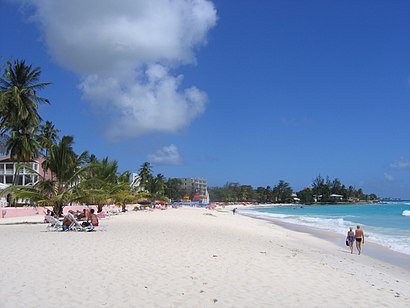
See St. Lawrence Gap, Bridgetown, on the map
Public Transit to St. Lawrence Gap in Bridgetown
How to get to St. Lawrence Gap in Bridgetown, Barbados?
It’s easy with Moovit. Type in your street address and Moovit’s route finder will locate the fastest way to get you there! Not sure where to get off on the street? Download the Moovit App to find live directions (including where to get off on St. Lawrence Gap), see timetables and get the estimated arrival times for your favorite bus lines.
Looking for the nearest stop or station to St. Lawrence Gap? Check out this list of closest stops available to your destination: Top Rock - Southwinds; Maxwell - Luigi's.
Bus: 12D, 27, 13, 28, 31, 12A, 34.
Download the Moovit App to see the current schedule and routes available for Bridgetown. No need to install a special bus app to check the bus time or a train app to get train time. Moovit is the only all-in-one transit app that helps you get where you need to go.
We make riding on public transit to St. Lawrence Gap easy, which is why over 1.5 million users, including users in Bridgetown trust Moovit as the best app for public transit.
Use the app to navigate to popular places including to the airport, hospital, stadium, grocery store, mall, coffee shop, school, college, and university.
Location: Bridgetown, Barbados
Streets near St. Lawrence Gap, Bridgetown
Get around Bridgetown by public transit!
Traveling around Bridgetown has never been so easy. See step by step directions as you travel to any attraction, street or major public transit station. View bus and train schedules, arrival times, service alerts and detailed routes on a map, so you know exactly how to get to anywhere in Bridgetown.
When traveling to any destination around Bridgetown use Moovit's Live Directions with Get Off Notifications to know exactly where and how far to walk, how long to wait for your line, and how many stops are left. Moovit will alert you when it's time to get off — no need to constantly re-check whether yours is the next stop.
Wondering how to use public transit in Bridgetown or how to pay for public transit in Bridgetown? Moovit public transit app can help you navigate your way with public transit easily, and at minimum cost. It includes public transit fees, ticket prices, and costs. Looking for a map of Bridgetown public transit lines? Moovit public transit app shows all public transit maps in Bridgetown with all bus routes and stops on an interactive map.
Barbados has 1 transit type(s), including: bus, operated by several transit agencies, including Transport Board