Directions to The Beermuda Triangle (New York - New Jersey) with public transportation
The following transit lines have routes that pass near The Beermuda Triangle
 Bus: FAB11, GREYHOUND US0340S, FAB10, 890, 891.
How to get to The Beermuda Triangle by bus?
Click on the bus route to see step by step directions with maps, line arrival times and updated time schedules.
Bus stops near The Beermuda Triangle in New York - New Jersey
Bus lines to The Beermuda Triangle in New York - New Jersey
What are the closest stations to The Beermuda Triangle?
The closest stations to The Beermuda Triangle are:
- Easton is 280 yards away, 4 min walk.
- Easton (Easton Bus Stop) is 323 yards away, 5 min walk.
- Easton Transportation Center is 346 yards away, 5 min walk.
- Eitc - Easton Intermodal Transit Center is 376 yards away, 5 min walk.
Which bus lines stop near The Beermuda Triangle?
These bus lines stop near The Beermuda Triangle: FAB11, GREYHOUND US0340S.
What’s the nearest bus station to The Beermuda Triangle in New York - New Jersey?
The nearest bus station to The Beermuda Triangle in New York - New Jersey is Easton. It’s a 4 min walk away.
What time is the first bus to The Beermuda Triangle in New York - New Jersey?
The 891 is the first bus that goes to The Beermuda Triangle in New York - New Jersey. It stops nearby at 6:55 AM.
What time is the last bus to The Beermuda Triangle in New York - New Jersey?
The GREYHOUND US0340S is the last bus that goes to The Beermuda Triangle in New York - New Jersey. It stops nearby at 7:55 PM.
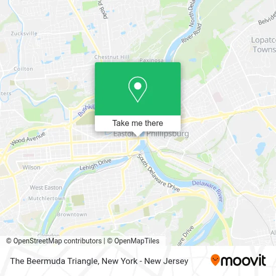
See The Beermuda Triangle, New York - New Jersey, on the map
Public Transit to The Beermuda Triangle in New York - New Jersey
Wondering how to get to The Beermuda Triangle in New York - New Jersey? Moovit helps you find the best way to get to The Beermuda Triangle with step-by-step directions from the nearest public transit station.
Moovit provides free maps and live directions to help you navigate through your city. View schedules, routes, timetables, and find out how long does it take to get to The Beermuda Triangle in real time.
Looking for the nearest stop or station to The Beermuda Triangle? Check out this list of stops closest to your destination: Easton; Easton (Easton Bus Stop); Easton Transportation Center; Eitc - Easton Intermodal Transit Center.
Bus: FAB11, GREYHOUND US0340S, FAB10, 890, 891, BLU, 106, 214, 216, 220.
Want to see if there’s another route that gets you there at an earlier time? Moovit helps you find alternative routes or times. Get directions from and directions to The Beermuda Triangle easily from the Moovit App or Website.
We make riding to The Beermuda Triangle easy, which is why over 1.5 million users, including users in New York - New Jersey, trust Moovit as the best app for public transit. You don’t need to download an individual bus app or train app, Moovit is your all-in-one transit app that helps you find the best bus time or train time available.
For information on prices of bus and train, costs and ride fares to The Beermuda Triangle, please check the Moovit app.
Use the app to navigate to popular places including to the airport, hospital, stadium, grocery store, mall, coffee shop, school, college, and university.
The Beermuda Triangle Address: 7 Northampton St street in New York - New Jersey
- Tapestry Lounge Cafe Bar,
- Pa Wine & Spirits,
- Tucker Garage and Grocery,
- Kabinett Wine Bar,
- Big Zoo Interactive,
- Cake and Corolla Bakery,
- Iriya Wellness & Aesthetics,
- Agamon Bakery & Cafe,
- Thyme Rooftop Grille,
- Khanisa’S,
- The Skin Clinic Wellness & Waxing Boutique,
- Naturale Beauty on Main,
- Live at the Falls,
- No Separation,
- Grand Eastonian Hotel & Suites,
- Heavenly Coffee Shop,
- Nyche,
- Glazed,
- Common Space Kitchen,
- Cellar Beast Winehouse
Places Near The Beermuda Triangle (New York - New Jersey)
- Chinatown, Manhattan,
- Rockefeller Center, Manhattan,
- 911 Memorial, Manhattan,
- Katz's Deli, Manhattan,
- 66 John Street, Manhattan,
- qqqq, Manhattan,
- Hudson Yards, Manhattan,
- San Gennaro Feast, Manhattan,
- Wall Street, Manhattan,
- 26 Federal Plaza, Manhattan,
- 3 Stone St, Manhattan,
- Times Square, Manhattan,
- Mountainside Hospital, Glen Ridge,
- 111 Centre New York City Supreme Court, Manhattan,
- 376 Hudson Street, Manhattan,
- Pier 83, Manhattan,
- SoHo, Manhattan,
- Queens Center Mall, Queens,
- Bellevue Hospital, Manhattan,
- 1 Police Plaza, Manhattan
How to get to popular places in New York - New Jersey with public transit
Get around New York - New Jersey by public transit!
Traveling around New York - New Jersey has never been so easy. See step by step directions as you travel to any attraction, street or major public transit station. View bus and train schedules, arrival times, service alerts and detailed routes on a map, so you know exactly how to get to anywhere in New York - New Jersey.
When traveling to any destination around New York - New Jersey use Moovit's Live Directions with Get Off Notifications to know exactly where and how far to walk, how long to wait for your line, and how many stops are left. Moovit will alert you when it's time to get off — no need to constantly re-check whether yours is the next stop.
Wondering how to use public transit in New York - New Jersey or how to pay for public transit in New York - New Jersey? Moovit public transit app can help you navigate your way with public transit easily, and at minimum cost. It includes public transit fees, ticket prices, and costs. Looking for a map of New York - New Jersey public transit lines? Moovit public transit app shows all public transit maps in New York - New Jersey with all Bus, Train, Subway, Light Rail, Ferry and Cable Car routes and stops on an interactive map.
New York - New Jersey has 6 transit type(s), including: Bus, Train, Subway, Light Rail, Ferry and Cable Car, operated by several transit agencies, including MTA Subway, Metro-North Railroad, LIRR, PATH, MTA New York City Transit - Express routes, MTA Bus, NJ Transit, NYC Ferry, NICE bus, Bee-Line Bus, NJ Transit Rail, Norwalk Transit District, Hartford Line, River Valley Transit and HART