How to get to The Gallery at the Center by bus?
Click on the bus route to see step by step directions with maps, line arrival times and updated time schedules.
From South High Community School, Worcester
199 minFrom Foxwoods, Worcester
132 minFrom Worcester, MA, Worcester
102 minFrom Polar Park, Worcester
104 minFrom Palladium, Worcester
107 minFrom Registry Of Motor Vehicles (Rmv) Branch Office, Worcester
106 minFrom Walmart Supercenter, Worcester
161 minFrom Dcu Center, Worcester
104 min
Bus stops near The Gallery at the Center in Boston
Bus lines to The Gallery at the Center in Boston
What are the closest stations to The Gallery at the Center?
The closest stations to The Gallery at the Center are:
- Cabot / Park is 138 yards away, 2 min walk.
- Chicopee Center- Dollar Store is 237 yards away, 4 min walk.
Which bus lines stop near The Gallery at the Center?
These bus lines stop near The Gallery at the Center: G1, P21.
What’s the nearest bus station to The Gallery at the Center in Boston?
The nearest bus station to The Gallery at the Center in Boston is Cabot / Park. It’s a 2 min walk away.
What time is the first bus to The Gallery at the Center in Boston?
The P21 is the first bus that goes to The Gallery at the Center in Boston. It stops nearby at 5:13 AM.
What time is the last bus to The Gallery at the Center in Boston?
The G1 is the last bus that goes to The Gallery at the Center in Boston. It stops nearby at 9:54 PM.
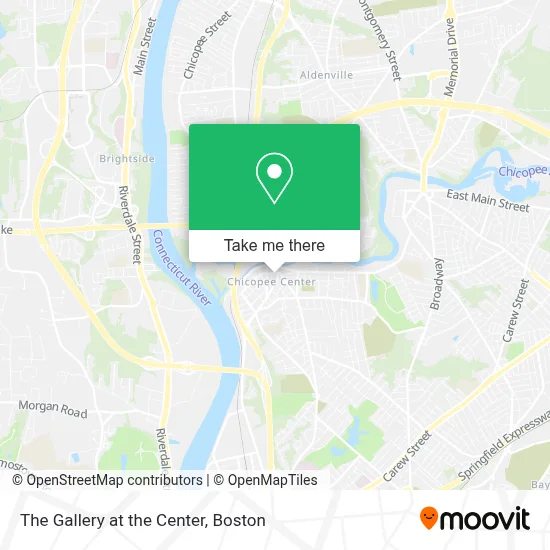
See The Gallery at the Center, Boston, on the map
Public Transit to The Gallery at the Center in Boston
Wondering how to get to The Gallery at the Center in Boston? Moovit helps you find the best way to get to The Gallery at the Center with step-by-step directions from the nearest public transit station.
Moovit provides free maps and live directions to help you navigate through your city. View schedules, routes, timetables, and find out how long does it take to get to The Gallery at the Center in real time.
Looking for the nearest stop or station to The Gallery at the Center? Check out this list of stops closest to your destination: Cabot / Park; Chicopee Center- Dollar Store.
Bus: G1, P21.
Want to see if there’s another route that gets you there at an earlier time? Moovit helps you find alternative routes or times. Get directions from and directions to The Gallery at the Center easily from the Moovit App or Website.
We make riding to The Gallery at the Center easy, which is why over 1.7 million users, including users in Boston, trust Moovit as the best app for public transit. You don’t need to download an individual bus app or train app, Moovit is your all-in-one transit app that helps you find the best bus time or train time available.
For information on prices of bus, costs and ride fares to The Gallery at the Center, please check the Moovit app.
Use the app to navigate to popular places including to the airport, hospital, stadium, grocery store, mall, coffee shop, school, college, and university.
The Gallery at the Center Address: 264 Exchange St street in Boston
- Truehart Wellness,
- Law Office of Amanda Jordan,
- Horseshoes Hand Grenades Tattoo,
- Aesthetic Beauty Revolution,
- Chicopee Life Insurance,
- Pieciak & Co PC,
- Institute of Abilities,
- Moda Mia,
- Open Window Book & Gift Shop Diocese of SPFD,
- Marion Mason / Real Living Realty Professionals,
- Kushmens Gallery,
- Defy Gravity,
- Island Spice,
- The Art Studio,
- Szlachetka Dubay, P.C. Attorneys & Counselors at Law,
- United Vision Solutions,
- One Financial,
- Hands Together,
- Mobile Locksmith in Bronx,
- Charter
Places Near The Gallery at the Center (Boston)
- Museum Of Science, Boston,
- Leader Bank Pavilion (Leader Bank Pavillion), Boston,
- Isabella Stewart Gardner Museum, Boston,
- Cheers, Boston,
- Wilbur Theatre, Boston,
- Seaport District, Boston,
- Boston Convention & Exhibition Center, Boston,
- Mgm Music Hall, Boston,
- Castle Island, Boston,
- Massachusetts General Hospital, Boston,
- Quincy Market, Boston,
- North End, Boston,
- Wang Theater, Boston,
- Boston Children's Hospital, Boston,
- Faneuil Hall, Boston,
- Boston Medical Center, Boston,
- Boston Common, Boston,
- Td Garden, Boston,
- House Of Blues, Boston,
- Prudential Center, Boston
How to get to popular places in Boston with public transit
Get around Boston by public transit!
Traveling around Boston has never been so easy. See step by step directions as you travel to any attraction, street or major public transit station. View bus and train schedules, arrival times, service alerts and detailed routes on a map, so you know exactly how to get to anywhere in Boston.
When traveling to any destination around Boston use Moovit's Live Directions with Get Off Notifications to know exactly where and how far to walk, how long to wait for your line, and how many stops are left. Moovit will alert you when it's time to get off — no need to constantly re-check whether yours is the next stop.
Wondering how to use public transit in Boston or how to pay for public transit in Boston? Moovit public transit app can help you navigate your way with public transit easily, and at minimum cost. It includes public transit fees, ticket prices, and costs. Looking for a map of Boston public transit lines? Moovit public transit app shows all public transit maps in Boston with all Bus, Train, Subway and Ferry routes and stops on an interactive map.
Boston has 4 transit type(s), including: Bus, Train, Subway and Ferry, operated by several transit agencies, including MBTA, Southeastern Regional Transit Authority, MetroWest Regional Transit Authority, Rhode Island Public Transit Authority, WRTA, Lowell Regional Transit Authority, Merrimack Valley Transit, Montachusett Regional Transit Authority, Cape Cod Regional Transit Authority, Brockton Area Transit Authority, Martha's Vineyard Transit Authority, the WAVE - Nantucket Regional Transit Authority, GATRA, Cape Ann Transportation Authority and Massport