Directions to The Gsd3 Foundation (Dedham) with public transportation
The following transit lines have routes that pass near The Gsd3 Foundation
 Bus: 34E, 52.
- Train: NEEDHAM, FOXBORO EVENT SERVICE, FRANKLIN/FOXBORO.
How to get to The Gsd3 Foundation by bus?
Click on the bus route to see step by step directions with maps, line arrival times and updated time schedules.
From Roslindale, Boston
44 minFrom Homewood Suites by Hilton Boston Brookline-Longwood Medical, Brookline
77 minFrom Sheraton-Needham Hotel (Sheraton Boston Needham Hotel), Needham
107 minFrom Washington St, Boston
73 minFrom Beth Israel Deaconess Hospital-Milton, Milton
85 minFrom Boston College, Boston
113 minFrom The Monument, Boston
59 minFrom Lower Mills, Boston
84 minFrom Codman Square, Boston
87 minFrom Jamaica Plain V.A., Boston
65 min
How to get to The Gsd3 Foundation by train?
Click on the train route to see step by step directions with maps, line arrival times and updated time schedules.
Train stations near The Gsd3 Foundation in Dedham
What are the closest stations to The Gsd3 Foundation?
The closest stations to The Gsd3 Foundation are:
- Dedham Corporate Center is 1709 yards away, 20 min walk.
- Hersey is 3913 yards away, 46 min walk.
Which bus lines stop near The Gsd3 Foundation?
These bus lines stop near The Gsd3 Foundation: 34E, 52.
Which train line stops near The Gsd3 Foundation?
NEEDHAM (#625 | Needham Heights)
What’s the nearest train station to The Gsd3 Foundation in Dedham?
The nearest train station to The Gsd3 Foundation in Dedham is Dedham Corporate Center. It’s a 20 min walk away.
What time is the first train to The Gsd3 Foundation in Dedham?
The NEEDHAM is the first train that goes to The Gsd3 Foundation in Dedham. It stops nearby at 7:16 AM.
What time is the last train to The Gsd3 Foundation in Dedham?
The NEEDHAM is the last train that goes to The Gsd3 Foundation in Dedham. It stops nearby at 6:24 PM.
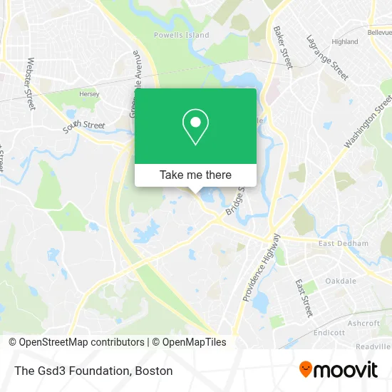
See The Gsd3 Foundation, Dedham, on the map
Public Transit to The Gsd3 Foundation in Dedham
Wondering how to get to The Gsd3 Foundation in Dedham? Moovit helps you find the best way to get to The Gsd3 Foundation with step-by-step directions from the nearest public transit station.
Moovit provides free maps and live directions to help you navigate through your city. View schedules, routes, timetables, and find out how long does it take to get to The Gsd3 Foundation in real time.
Looking for the nearest stop or station to The Gsd3 Foundation? Check out this list of stops closest to your destination: Dedham Corporate Center; Hersey.
Bus: 34E, 52.Train: NEEDHAM, FOXBORO EVENT SERVICE, FRANKLIN/FOXBORO.
Want to see if there’s another route that gets you there at an earlier time? Moovit helps you find alternative routes or times. Get directions from and directions to The Gsd3 Foundation easily from the Moovit App or Website.
We make riding to The Gsd3 Foundation easy, which is why over 1.7 million users, including users in Dedham, trust Moovit as the best app for public transit. You don’t need to download an individual bus app or train app, Moovit is your all-in-one transit app that helps you find the best bus time or train time available.
For information on prices of bus, train and subway, costs and ride fares to The Gsd3 Foundation, please check the Moovit app.
Use the app to navigate to popular places including to the airport, hospital, stadium, grocery store, mall, coffee shop, school, college, and university.
The Gsd3 Foundation Address: 215 Common St street in Dedham
- Sugrue Field,
- Dedham Rotary Club,
- Dolan Recreational Center,
- Dedham Parks And Recreation (Griffiths' Gym),
- Dedham Parks & Recreation Complex,
- Eagle Obstacles,
- Mit Endicott House,
- Society Of African Missions,
- New England Newspaper & Press Association,
- Northeastern University,
- The Rashi School,
- Queen Of Apostles College And Seminary,
- Solomon Track,
- Charter Senior Living Of Dedham,
- Noble And Greenough School,
- Brandeis University President's House,
- Northeastern University Dedham Campus,
- Jack Audy,
- Flagship Motors,
- Ik Piano Studio
Places Near The Gsd3 Foundation (Dedham)
- Boston Common, Boston,
- House Of Blues, Boston,
- Museum Of Science, Boston,
- Prudential Center, Boston,
- Wilbur Theatre, Boston,
- Quincy Market, Boston,
- Massachusetts General Hospital, Boston,
- Leader Bank Pavilion (Leader Bank Pavillion), Boston,
- Cheers, Boston,
- Seaport District, Boston,
- Isabella Stewart Gardner Museum, Boston,
- Faneuil Hall, Boston,
- Td Garden, Boston,
- Mgm Music Hall, Boston,
- Boston Children's Hospital, Boston,
- Boston Medical Center, Boston,
- Wang Theater, Boston,
- North End, Boston,
- Boston Convention & Exhibition Center, Boston,
- Castle Island, Boston
How to get to popular places in Boston with public transit
Get around Dedham by public transit!
Traveling around Dedham has never been so easy. See step by step directions as you travel to any attraction, street or major public transit station. View bus and train schedules, arrival times, service alerts and detailed routes on a map, so you know exactly how to get to anywhere in Dedham.
When traveling to any destination around Dedham use Moovit's Live Directions with Get Off Notifications to know exactly where and how far to walk, how long to wait for your line, and how many stops are left. Moovit will alert you when it's time to get off — no need to constantly re-check whether yours is the next stop.
Wondering how to use public transit in Dedham or how to pay for public transit in Dedham? Moovit public transit app can help you navigate your way with public transit easily, and at minimum cost. It includes public transit fees, ticket prices, and costs. Looking for a map of Dedham public transit lines? Moovit public transit app shows all public transit maps in Dedham with all Bus, Train, Subway and Ferry routes and stops on an interactive map.
Boston has 4 transit type(s), including: Bus, Train, Subway and Ferry, operated by several transit agencies, including MBTA, Southeastern Regional Transit Authority, MetroWest Regional Transit Authority, Rhode Island Public Transit Authority, WRTA, Lowell Regional Transit Authority, Merrimack Valley Transit, Montachusett Regional Transit Authority, Cape Cod Regional Transit Authority, Brockton Area Transit Authority, Martha's Vineyard Transit Authority, the WAVE - Nantucket Regional Transit Authority, GATRA, Cape Ann Transportation Authority and Massport