How to get to Ulta by bus?
Click on the bus route to see step by step directions with maps, line arrival times and updated time schedules.
From Gladhart Realty, Spokane Valley
32 minFrom Minnehaha Park, Spokane
53 minFrom E Broadway Ave, Spokane
48 minFrom Spokane Falls Plumbing, Spokane Valley
44 minFrom Blue Zone Marketing - Liberty Lake, Liberty Lake
32 minFrom Spokane Community College, Spokane
39 minFrom Spokane County Fair And Expo Center, Spokane Valley
50 minFrom Brian Behler, Spokane
43 minFrom E 8th Ave, Spokane Valley
47 minFrom Magnificent Microbes, Spokane
64 min
Bus stops near Ulta in Spokane Valley
Bus lines to Ulta in Spokane Valley
What are the closest stations to Ulta?
The closest stations to Ulta are:
- Evergreen @ Indiana is 292 yards away, 4 min walk.
- Indiana @ Evergreen is 303 yards away, 4 min walk.
- Mansfield @ Discovery Place is 1023 yards away, 13 min walk.
Which bus lines stop near Ulta?
These bus lines stop near Ulta: 32, 7, 96, 97.
What’s the nearest bus station to Ulta in Spokane Valley?
The nearest bus stations to Ulta in Spokane Valley are Evergreen @ Indiana and Indiana @ Evergreen. The closest one is a 4 min walk away.
What time is the first bus to Ulta in Spokane Valley?
The 7 is the first bus that goes to Ulta in Spokane Valley. It stops nearby at 4:56 AM.
What time is the last bus to Ulta in Spokane Valley?
The 97 is the last bus that goes to Ulta in Spokane Valley. It stops nearby at 11:45 PM.
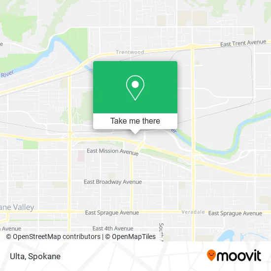
See Ulta, Spokane Valley, on the map
Public Transit to Ulta in Spokane Valley
Wondering how to get to Ulta in Spokane Valley? Moovit helps you find the best way to get to Ulta with step-by-step directions from the nearest public transit station.
Moovit provides free maps and live directions to help you navigate through your city. View schedules, routes, timetables, and find out how long does it take to get to Ulta in real time.
Looking for the nearest stop or station to Ulta? Check out this list of stops closest to your destination: Evergreen @ Indiana; Indiana @ Evergreen; Mansfield @ Discovery Place.
Bus: 32, 7, 96, 97.
Want to see if there’s another route that gets you there at an earlier time? Moovit helps you find alternative routes or times. Get directions from and directions to Ulta easily from the Moovit App or Website.
We make riding to Ulta easy, which is why over 1.5 million users, including users in Spokane Valley, trust Moovit as the best app for public transit. You don’t need to download an individual bus app or train app, Moovit is your all-in-one transit app that helps you find the best bus time or train time available.
For information on prices of bus, costs and ride fares to Ulta, please check the Moovit app.
Use the app to navigate to popular places including to the airport, hospital, stadium, grocery store, mall, coffee shop, school, college, and university.
Ulta Address: 13810 E Indiana Ave Spokane, WA 99216 street in Spokane Valley
- Charlotte Tilbury,
- Amazon Locker-Dhia,
- The North Face,
- Wolverine World Wide,
- Idaho Central Spokane Valley Performing Arts Center,
- Spokane Valley Mall-West Door,
- Prodigy Property Management,
- River Landing at Mirabeau,
- Columbia,
- The North Face,
- ecco,
- Regal Cinemas Stadium 12,
- Affinity at Mirabeau,
- Exit 291A/Evergreen Rd/E,
- Oak Express,
- Pianos for Students Society,
- Trukmatic,
- PacSun,
- Tradehome,
- Cotton On
Places Near Ulta (Spokane Valley)
- Social Security Office, Spokane,
- Sacred Heart Medical Center, Spokane,
- Providence Sacred Heart Medical Center and Children s Hospital, Spokane,
- Walmart Supercenter, Spokane Valley,
- Spokane Tribe Casino, Airway Heights,
- 1+1 Oil Spa Asian Massage, Spokane,
- Spokane, WA, Spokane,
- Spokane Community College, Spokane,
- Northtown Mall, Spokane,
- Sacred Heart Doctors Building, Spokane,
- Holy Family Hospital, Spokane,
- Walmart, Spokane,
- Amazon,
- Walmart, Spokane Valley,
- Manito Park, Spokane,
- Spokane Valley Mall, Spokane Valley,
- Riverfront Park, Spokane,
- Space Oil Spa Massage Asian Massage, Spokane Valley,
- Perfect Asian Massage Spa, Spokane Valley,
- Spokane Falls Community College, Spokane
How to get to popular places in Spokane with public transit
Get around Spokane Valley by public transit!
Traveling around Spokane Valley has never been so easy. See step by step directions as you travel to any attraction, street or major public transit station. View bus and train schedules, arrival times, service alerts and detailed routes on a map, so you know exactly how to get to anywhere in Spokane Valley.
When traveling to any destination around Spokane Valley use Moovit's Live Directions with Get Off Notifications to know exactly where and how far to walk, how long to wait for your line, and how many stops are left. Moovit will alert you when it's time to get off — no need to constantly re-check whether yours is the next stop.
Wondering how to use public transit in Spokane Valley or how to pay for public transit in Spokane Valley? Moovit public transit app can help you navigate your way with public transit easily, and at minimum cost. It includes public transit fees, ticket prices, and costs. Looking for a map of Spokane Valley public transit lines? Moovit public transit app shows all public transit maps in Spokane Valley with all Bus and Train routes and stops on an interactive map.
Spokane has 2 transit type(s), including: Bus and Train, operated by several transit agencies, including STA, Amtrak and FlixBus-us