
ML Bus Route Map
View the ML route map and see all ML stops along the route. The map of ML shows where the bus travels and the location of each stop, making it easy to understand the entire route at a glance.
Explore Tahoe Truckee Area Regional Transit routes on the map and see where Tahoe Truckee Area Regional Transit bus services operate. Use the ML map to find bus stops and see how the ML connects different areas along its trip.
All ML stops on the map are displayed in route order, helping you follow the ML bus from the first stop to the last.
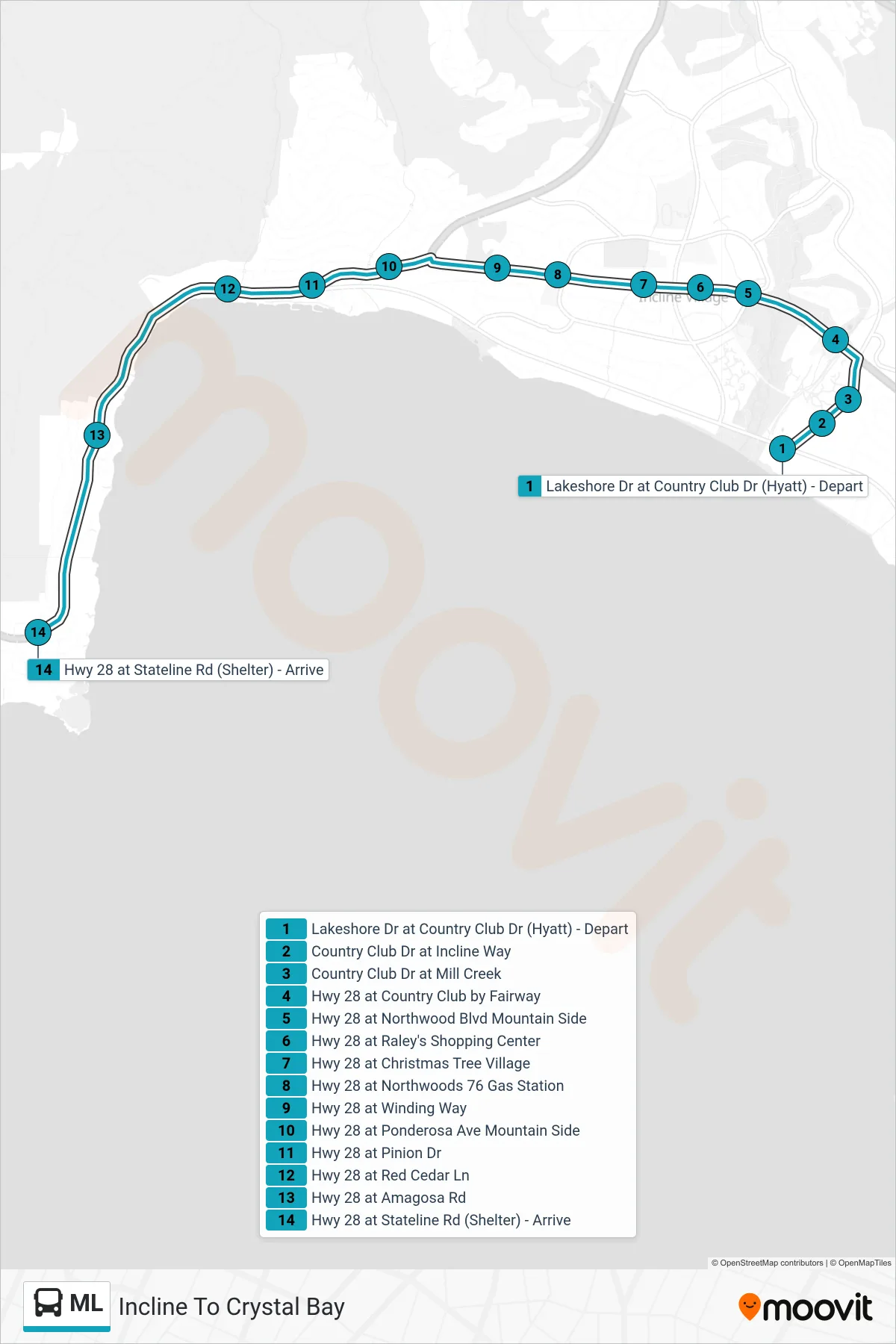
Stops list (ML - Incline To Crystal Bay)
- Lakeshore Dr at Country Club Dr (Hyatt) - Depart
- Country Club Dr at Incline Way
- Country Club Dr at Mill Creek
- Hwy 28 at Country Club by Fairway
- Hwy 28 at Northwood Blvd Mountain Side
- Hwy 28 at Raley's Shopping Center
- Hwy 28 at Christmas Tree Village
- Hwy 28 at Northwoods 76 Gas Station
- Hwy 28 at Winding Way
- Hwy 28 at Ponderosa Ave Mountain Side
- Hwy 28 at Pinion Dr
- Hwy 28 at Red Cedar Ln
- Hwy 28 at Amagosa Rd
- Hwy 28 at Stateline Rd (Shelter) - Arrive
Change direction
- Route Map - ML - Tahoma To Tahoe City
- Route Map - ML - Incline To Tahoma
- Route Map - ML - Tahoe City To Incline
- Route Map - ML - Tahoe City To Tahoma
- Route Map - ML - Tahoma To Incline
- Route Map - ML - Crystal Bay To Tahoe City
- Route Map - ML - Tahoma To Crystal Bay
- Route Map - ML - Crystal Bay To Incline
- Route Map - ML - Incline To Tahoe City