Chapman-West stop - Monday schedule
| Line | Direction | Time |
|---|---|---|
| 54 | Santiago Canyon College | 5:27 AM |
| 54 | Santiago Canyon College | 5:59 AM |
| 54 | Santiago Canyon College | 6:29 AM |
| 54 | Santiago Canyon College | 6:54 AM |
| 54 | Santiago Canyon College | 7:12 AM |
| 54 | Santiago Canyon College | 7:30 AM |
| 54 | Santiago Canyon College | 7:50 AM |
| 54 | Santiago Canyon College | 8:10 AM |
| 54 | Santiago Canyon College | 8:30 AM |
| 54 | Santiago Canyon College | 8:50 AM |
| 54 | Santiago Canyon College | 9:10 AM |
| 54 | Santiago Canyon College | 9:40 AM |
| 54 | Santiago Canyon College | 10:09 AM |
| 54 | Santiago Canyon College | 10:37 AM |
| 54 | Santiago Canyon College | 11:07 AM |
| 54 | Santiago Canyon College | 11:37 AM |
| 54 | Santiago Canyon College | 12:07 PM |
| 54 | Santiago Canyon College | 12:37 PM |
| 54 | Santiago Canyon College | 1:06 PM |
| 54 | Santiago Canyon College | 1:36 PM |
| 54 | Santiago Canyon College | 2:06 PM |
| 54 | Santiago Canyon College | 2:36 PM |
| 54 | Santiago Canyon College | 2:51 PM |
| 54 | Santiago Canyon College | 3:07 PM |
| 54 | Santiago Canyon College | 3:30 PM |
Directions to Chapman-West stop (Los Angeles) with public transit
The following transit lines have routes that pass near Chapman-West
How to get to Chapman-West stop by bus?
Click on the bus route to see step by step directions with maps, line arrival times and updated time schedules.
Bus stops near Chapman-West stop in Los Angeles
- Chapman-West, 2 min walk,
- Harbor-Chapman, 11 min walk,
- Residence Inn Garden Grove, 12 min walk,
- Embassy South, Hilton Garden & Hampton Gg, 12 min walk,
Bus lines to Chapman-West stop in Los Angeles
- 54, Garden Grove - Chapman and Valley View,
- 43, Fullerton Transportation Center,
- 543, Santa Ana - Harbor and Macarthur,
- 03, Harbor NB & Convention Way,
- 03, Doubletree Anaheim,
- 04, Harbor NB & Convention Way,
What are the closest stations to Chapman-West?
The closest stations to Chapman-West are:
- Chapman-West is 147 yards away, 2 min walk.
- Harbor-Chapman is 885 yards away, 11 min walk.
- Residence Inn Garden Grove is 916 yards away, 12 min walk.
- Embassy South, Hilton Garden & Hampton Gg is 948 yards away, 12 min walk.
Which bus lines stop near Chapman-West?
These bus lines stop near Chapman-West: 54, 543.
What’s the nearest bus station to Chapman-West in Los Angeles?
The nearest bus station to Chapman-West in Los Angeles is Chapman-West. It’s a 2 min walk away.
What time is the first bus to Chapman-West in Los Angeles?
The 43 is the first bus that goes to Chapman-West in Los Angeles. It stops nearby at 4:15 AM.
What time is the last bus to Chapman-West in Los Angeles?
The 43 is the last bus that goes to Chapman-West in Los Angeles. It stops nearby at 1:10 AM.
Chapman-West station
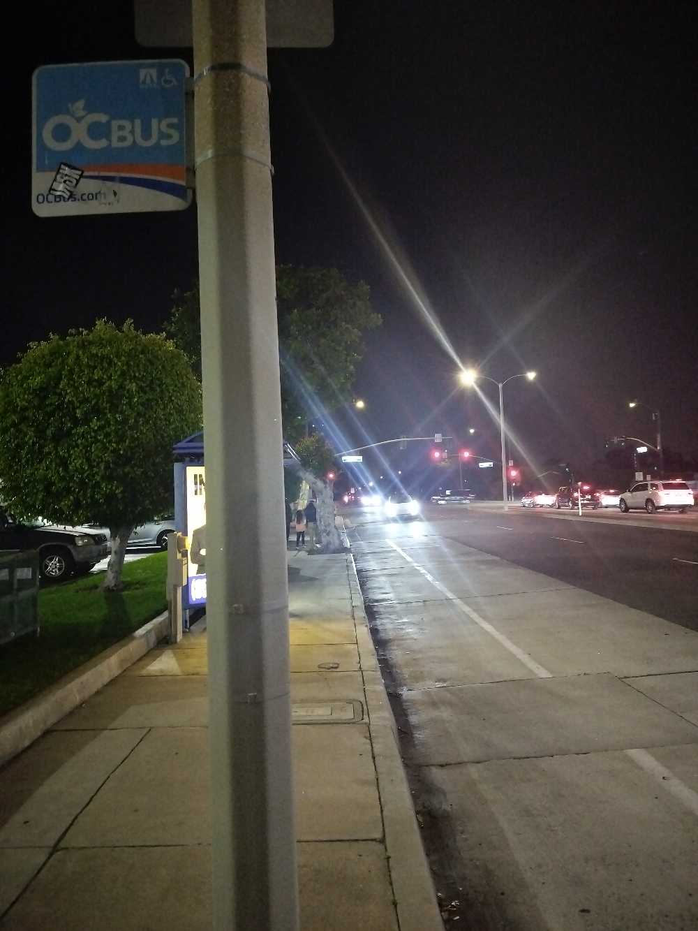 Taken by Anonymous
See Chapman-West stop, Los Angeles, on the map
Public transit to Chapman-West stop (ID: 2237) in Los Angeles
Looking for directions to Chapman-West in Los Angeles, United States?
Download the Moovit App to find the current schedule and step-by-step directions for Bus routes that pass through Chapman-West.
Looking for the nearest stops closest to Chapman-West ? Check out this list of closest stops to your destination: Chapman-West; Harbor-Chapman; Residence Inn Garden Grove; Embassy South.
Bus: 54, 543, 43, 03, 03, 04.
We make riding on public transit to Chapman-West easy, which is why over 1.5 million users, including users in Los Angeles trust Moovit as the best app for public transit.
Use the app to navigate to popular places including to the airport, hospital, stadium, grocery store, mall, coffee shop, school, college, and university.
Chapman-West stop’s code is 2237
The first line to this stop is 54, at 5:27 AM, and the last line is 54 at 10:09 PM.
10228 Chapman Av, Garden Grove, CA, USA
This stop serves OCTA’s lines
Bus stops near Chapman-West stop
Popular public transit stations in Los Angeles
Get around Los Angeles by public transit!
Traveling around Los Angeles has never been so easy. See step by step directions as you travel to any attraction, street or major public transit station. View bus and train schedules, arrival times, service alerts and detailed routes on a map, so you know exactly how to get to anywhere in Los Angeles.
When traveling to any destination around Los Angeles use Moovit's Live Directions with Get Off Notifications to know exactly where and how far to walk, how long to wait for your line, and how many stops are left. Moovit will alert you when it's time to get off — no need to constantly re-check whether yours is the next stop.
Wondering how to use public transit in Los Angeles or how to pay for public transit in Los Angeles? Moovit public transit app can help you navigate your way with public transit easily, and at minimum cost. It includes public transit fees, ticket prices, and costs. Looking for a map of Los Angeles public transit lines? Moovit public transit app shows all public transit maps in Los Angeles with all Bus, Train, Subway, Light Rail, Ferry and Funicular routes and stops on an interactive map.
Los Angeles has 6 transit type(s), including: Bus, Train, Subway, Light Rail, Ferry and Funicular, operated by several transit agencies, including METRO, OCTA, Metrolink Trains, Big Blue Bus, LAX FlyAway, PVPTA, Burbank Bus, Laguna Beach Transit, Thousand Oaks Transit, Amtrak, OMNITRANS, Foothill Transit, Culver City Bus, Glendale Beeline and Long Beach Transit