Directions to Historic Mcknight (Boston) with public transportation
The following transit lines have routes that pass near Historic Mcknight
 Bus: B6, T3, T6, B17, T21.
- Train: LAKE SHORE LIMITED, VERMONTER, AMTRAK HARTFORD LINE, NORTHEAST REGIONAL, VALLEY FLYER.
How to get to Historic Mcknight by bus?
Click on the bus route to see step by step directions with maps, line arrival times and updated time schedules.
From Dcu Center, Worcester
100 minFrom Worcester, MA, Worcester
97 minFrom Foxwoods, Worcester
127 minFrom Palladium, Worcester
103 minFrom Walmart Supercenter, Worcester
156 minFrom Polar Park, Worcester
99 minFrom Registry Of Motor Vehicles (Rmv) Branch Office, Worcester
101 minFrom South High Community School, Worcester
194 min
How to get to Historic Mcknight by train?
Click on the train route to see step by step directions with maps, line arrival times and updated time schedules.
Bus stops near Historic Mcknight in Boston
Train station near Historic Mcknight in Boston
- Springfield, 21 min walk,VIEW
Bus lines to Historic Mcknight in Boston
- B6, Ludlow via Bay St,VIEW
- T3, Tripper 3 Helper Service,VIEW
- T6, Tripper 6 Helper Service,VIEW
- B17, 16 Acres Via Wilbraham Rd / Worthington St,VIEW
- T21, Carew And Armory To Chestnut Glenwood Circle,VIEW
- X90, Chicopee Big Y Via Springfield Plaza,VIEW
- B7, Union Station,VIEW
- G3, Springfield Plaza To Rmv Via Union Station,VIEW
- T1, Sumner To the X To Dickinson,VIEW
- T2, Belmont To the X,VIEW
- T4, Carew Street Roosevelt To State St,VIEW
- T92, Orange To White St.,VIEW
What are the closest stations to Historic Mcknight?
The closest stations to Historic Mcknight are:
- Bay / Saint James (1) is 115 yards away, 2 min walk.
- Magazine / Lincoln (3) is 245 yards away, 4 min walk.
- Magazine / Bowdoin is 479 yards away, 7 min walk.
- State / Thompson is 507 yards away, 7 min walk.
- Springfield is 1683 yards away, 21 min walk.
Which bus line stops near Historic Mcknight?
B6 (Ludlow Big Y Via Bay/Berkshire/Pasco)
Which train lines stop near Historic Mcknight?
These train lines stop near Historic Mcknight: LAKE SHORE LIMITED, VERMONTER.
What’s the nearest train station to Historic Mcknight in Boston?
The nearest train station to Historic Mcknight in Boston is Springfield. It’s a 21 min walk away.
What’s the nearest bus station to Historic Mcknight in Boston?
The nearest bus station to Historic Mcknight in Boston is Bay / Saint James (1). It’s a 2 min walk away.
What time is the first train to Historic Mcknight in Boston?
The NORTHEAST REGIONAL is the first train that goes to Historic Mcknight in Boston. It stops nearby at 4:10 AM.
What time is the last train to Historic Mcknight in Boston?
The LAKE SHORE LIMITED is the last train that goes to Historic Mcknight in Boston. It stops nearby at 6:04 PM.
What time is the first bus to Historic Mcknight in Boston?
The B6 is the first bus that goes to Historic Mcknight in Boston. It stops nearby at 5:15 AM.
What time is the last bus to Historic Mcknight in Boston?
The B7 is the last bus that goes to Historic Mcknight in Boston. It stops nearby at 10:34 PM.
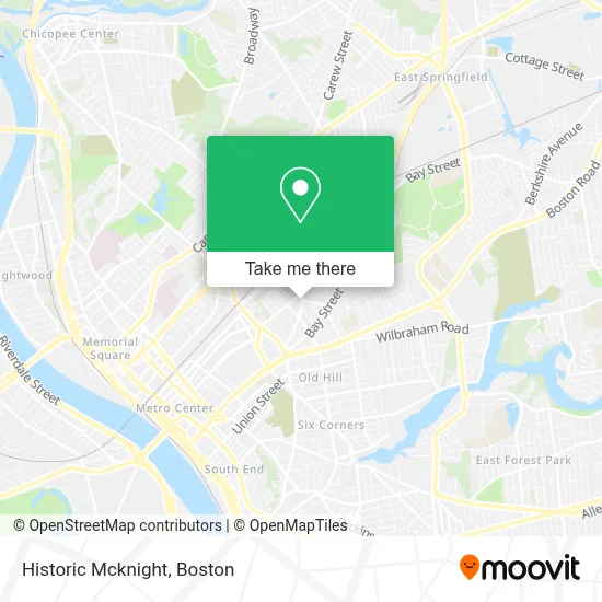
See Historic Mcknight, Boston, on the map
Public Transit to Historic Mcknight in Boston
Wondering how to get to Historic Mcknight in Boston? Moovit helps you find the best way to get to Historic Mcknight with step-by-step directions from the nearest public transit station.
Moovit provides free maps and live directions to help you navigate through your city. View schedules, routes, timetables, and find out how long does it take to get to Historic Mcknight in real time.
Looking for the nearest stop or station to Historic Mcknight? Check out this list of stops closest to your destination: Bay / Saint James (1); Magazine / Lincoln (3); Magazine / Bowdoin; State / Thompson; Springfield.
Bus: B6, T3, T6, B17, T21, B7, G3, T1, T2, T4, X90.Train: LAKE SHORE LIMITED, VERMONTER, AMTRAK HARTFORD LINE, NORTHEAST REGIONAL, VALLEY FLYER.
Want to see if there’s another route that gets you there at an earlier time? Moovit helps you find alternative routes or times. Get directions from and directions to Historic Mcknight easily from the Moovit App or Website.
We make riding to Historic Mcknight easy, which is why over 1.7 million users, including users in Boston, trust Moovit as the best app for public transit. You don’t need to download an individual bus app or train app, Moovit is your all-in-one transit app that helps you find the best bus time or train time available.
For information on prices of bus and train, costs and ride fares to Historic Mcknight, please check the Moovit app.
Use the app to navigate to popular places including to the airport, hospital, stadium, grocery store, mall, coffee shop, school, college, and university.
Historic Mcknight Address: Clarendon Street street in Boston
- Historic McKnight District,
- Edge Wise Intelligence,
- Thompson Triangle,
- A Different Perspective,
- Mothers Fashion,
- Christian Hill Baptist Church,
- de la Rosa Lawn Sprinkler Systems,
- Fanneree's Fineries,
- Leones Nutrition,
- Sandra Accessories and More,
- Greater Faith Taberalce,
- Buck's Barber Shop,
- Mcknight Glen,
- de la Rosa los Sabores Restaurant,
- St James Mini,
- MB Studios,
- Blessed Travel Plus,
- Meesh Kapeesh Boutique,
- Ironcladdd Barbershop,
- Bay Street Social Club
Places Near Historic Mcknight (Boston)
- Leader Bank Pavilion (Leader Bank Pavillion), Boston,
- Castle Island, Boston,
- Quincy Market, Boston,
- House Of Blues, Boston,
- Wang Theater, Boston,
- Faneuil Hall, Boston,
- Td Garden, Boston,
- Cheers, Boston,
- Seaport District, Boston,
- Wilbur Theatre, Boston,
- Isabella Stewart Gardner Museum, Boston,
- Boston Common, Boston,
- Museum Of Science, Boston,
- Boston Medical Center, Boston,
- Boston Children's Hospital, Boston,
- Massachusetts General Hospital, Boston,
- North End, Boston,
- Boston Convention & Exhibition Center, Boston,
- Prudential Center, Boston,
- Mgm Music Hall, Boston
How to get to popular places in Boston with public transit
Get around Boston by public transit!
Traveling around Boston has never been so easy. See step by step directions as you travel to any attraction, street or major public transit station. View bus and train schedules, arrival times, service alerts and detailed routes on a map, so you know exactly how to get to anywhere in Boston.
When traveling to any destination around Boston use Moovit's Live Directions with Get Off Notifications to know exactly where and how far to walk, how long to wait for your line, and how many stops are left. Moovit will alert you when it's time to get off — no need to constantly re-check whether yours is the next stop.
Wondering how to use public transit in Boston or how to pay for public transit in Boston? Moovit public transit app can help you navigate your way with public transit easily, and at minimum cost. It includes public transit fees, ticket prices, and costs. Looking for a map of Boston public transit lines? Moovit public transit app shows all public transit maps in Boston with all Bus, Train, Subway and Ferry routes and stops on an interactive map.
Boston has 4 transit type(s), including: Bus, Train, Subway and Ferry, operated by several transit agencies, including MBTA, Southeastern Regional Transit Authority, MetroWest Regional Transit Authority, Rhode Island Public Transit Authority, WRTA, Lowell Regional Transit Authority, Merrimack Valley Transit, Montachusett Regional Transit Authority, Cape Cod Regional Transit Authority, Brockton Area Transit Authority, Martha's Vineyard Transit Authority, the WAVE - Nantucket Regional Transit Authority, GATRA, Cape Ann Transportation Authority and Massport