How to get to Holyoke Mini Market by bus?
Click on the bus route to see step by step directions with maps, line arrival times and updated time schedules.
From Gardner, MA, Gardner
242 minFrom Polar Park, Worcester
102 minFrom Registry Of Motor Vehicles (Rmv) Branch Office, Worcester
104 minFrom South High Community School, Worcester
197 minFrom Saint Vincent Hospital at Worcester Medical Center, Worcester
102 minFrom Worcester, MA, Worcester
100 minFrom Dcu Center, Worcester
102 minFrom Foxwoods, Worcester
130 minFrom Palladium, Worcester
105 min
How to get to Holyoke Mini Market by train?
Click on the train route to see step by step directions with maps, line arrival times and updated time schedules.
Bus stops near Holyoke Mini Market in Boston
Train station near Holyoke Mini Market in Boston
- Holyoke Amtrak, 22 min walk,VIEW
Bus lines to Holyoke Mini Market in Boston
What are the closest stations to Holyoke Mini Market?
The closest stations to Holyoke Mini Market are:
- High / Hampshire is 244 yards away, 4 min walk.
- Hampshire / High is 247 yards away, 4 min walk.
- Hampshire / Chestnut is 435 yards away, 6 min walk.
- Cabot / Bond is 511 yards away, 7 min walk.
- Holyoke Amtrak is 1807 yards away, 22 min walk.
Which bus line stops near Holyoke Mini Market?
P21E (Holyoke Trans Center Via I-391 Express)
Which train line stops near Holyoke Mini Market?
VERMONTER (St Albans)
What’s the nearest train station to Holyoke Mini Market in Boston?
The nearest train station to Holyoke Mini Market in Boston is Holyoke Amtrak. It’s a 22 min walk away.
What’s the nearest bus station to Holyoke Mini Market in Boston?
The nearest bus stations to Holyoke Mini Market in Boston are High / Hampshire and Hampshire / High. The closest one is a 4 min walk away.
What time is the first train to Holyoke Mini Market in Boston?
The VALLEY FLYER is the first train that goes to Holyoke Mini Market in Boston. It stops nearby at 6:45 AM.
What time is the last train to Holyoke Mini Market in Boston?
The VALLEY FLYER is the last train that goes to Holyoke Mini Market in Boston. It stops nearby at 9:51 PM.
What time is the first bus to Holyoke Mini Market in Boston?
The P21 is the first bus that goes to Holyoke Mini Market in Boston. It stops nearby at 5:16 AM.
What time is the last bus to Holyoke Mini Market in Boston?
The P20 is the last bus that goes to Holyoke Mini Market in Boston. It stops nearby at 11:25 PM.
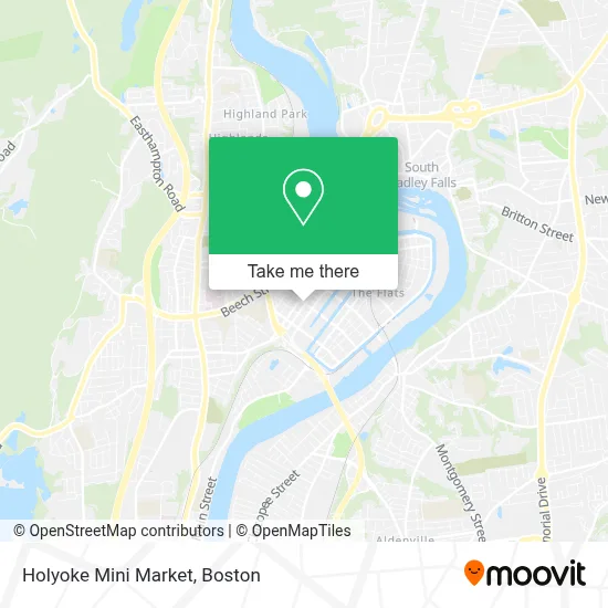
See Holyoke Mini Market, Boston, on the map
Public Transit to Holyoke Mini Market in Boston
Wondering how to get to Holyoke Mini Market in Boston? Moovit helps you find the best way to get to Holyoke Mini Market with step-by-step directions from the nearest public transit station.
Moovit provides free maps and live directions to help you navigate through your city. View schedules, routes, timetables, and find out how long does it take to get to Holyoke Mini Market in real time.
Looking for the nearest stop or station to Holyoke Mini Market? Check out this list of stops closest to your destination: High / Hampshire; Hampshire / High; Hampshire / Chestnut; Cabot / Bond; Holyoke Amtrak.
Bus: P21E, P20, T24, B23, R24, P21, R22.Train: VERMONTER, VALLEY FLYER.
Want to see if there’s another route that gets you there at an earlier time? Moovit helps you find alternative routes or times. Get directions from and directions to Holyoke Mini Market easily from the Moovit App or Website.
We make riding to Holyoke Mini Market easy, which is why over 1.7 million users, including users in Boston, trust Moovit as the best app for public transit. You don’t need to download an individual bus app or train app, Moovit is your all-in-one transit app that helps you find the best bus time or train time available.
For information on prices of bus and train, costs and ride fares to Holyoke Mini Market, please check the Moovit app.
Use the app to navigate to popular places including to the airport, hospital, stadium, grocery store, mall, coffee shop, school, college, and university.
Holyoke Mini Market Address: 657 High St street in Boston
- Even Start Program,
- Rivera's Grocery,
- Springfield Chicopee-Church,
- The Joint,
- Western Mass Fire Prevention Association,
- Wilcox & Barton,
- Sacred Heart Church,
- CHD,
- Commercial Auto Sales,
- Mike's Counter Shop,
- Berger Decorating Co.,
- South Chestnut,
- Amazon Locker-Exhibit,
- Aap Alcon Auto Parts,
- Committee To Elect Nelson Roman,
- Chestnut Street,
- K and J,
- Peter's Auto Repair,
- Los Masters Social Club,
- Anne Mchugh Primary School
Places Near Holyoke Mini Market (Boston)
- Castle Island, Boston,
- Seaport District, Boston,
- North End, Boston,
- Museum Of Science, Boston,
- Quincy Market, Boston,
- Boston Children's Hospital, Boston,
- Boston Convention & Exhibition Center, Boston,
- Massachusetts General Hospital, Boston,
- Wilbur Theatre, Boston,
- Boston Medical Center, Boston,
- Td Garden, Boston,
- Faneuil Hall, Boston,
- Boston Common, Boston,
- Isabella Stewart Gardner Museum, Boston,
- Prudential Center, Boston,
- Wang Theater, Boston,
- Leader Bank Pavilion (Leader Bank Pavillion), Boston,
- House Of Blues, Boston,
- Cheers, Boston,
- Mgm Music Hall, Boston
How to get to popular places in Boston with public transit
Get around Boston by public transit!
Traveling around Boston has never been so easy. See step by step directions as you travel to any attraction, street or major public transit station. View bus and train schedules, arrival times, service alerts and detailed routes on a map, so you know exactly how to get to anywhere in Boston.
When traveling to any destination around Boston use Moovit's Live Directions with Get Off Notifications to know exactly where and how far to walk, how long to wait for your line, and how many stops are left. Moovit will alert you when it's time to get off — no need to constantly re-check whether yours is the next stop.
Wondering how to use public transit in Boston or how to pay for public transit in Boston? Moovit public transit app can help you navigate your way with public transit easily, and at minimum cost. It includes public transit fees, ticket prices, and costs. Looking for a map of Boston public transit lines? Moovit public transit app shows all public transit maps in Boston with all Bus, Train, Subway and Ferry routes and stops on an interactive map.
Boston has 4 transit type(s), including: Bus, Train, Subway and Ferry, operated by several transit agencies, including MBTA, Southeastern Regional Transit Authority, MetroWest Regional Transit Authority, Rhode Island Public Transit Authority, WRTA, Lowell Regional Transit Authority, Merrimack Valley Transit, Montachusett Regional Transit Authority, Cape Cod Regional Transit Authority, Brockton Area Transit Authority, Martha's Vineyard Transit Authority, the WAVE - Nantucket Regional Transit Authority, GATRA, Cape Ann Transportation Authority and Massport