Directions to Match Education (Boston) with public transportation
The following transit lines have routes that pass near Match Education
 Bus: 21, 31, 39, 42, 16.
- Train: NEEDHAM, FAIRMOUNT, FRANKLIN/FOXBORO, PROVIDENCE/STOUGHTON.
- Subway: ORANGE LINE.
How to get to Match Education by bus?
Click on the bus route to see step by step directions with maps, line arrival times and updated time schedules.
From Acorn Street, Boston
49 minFrom La Quinta Inn & Suites Boston Somerville, Somerville
90 minFrom La Quinta, Somerville
91 minFrom Bow Market, Somerville
79 minFrom Winter Hill, Somerville
109 minFrom Boston University, Boston
69 minFrom St. Elizabeth's Medical Center, Boston
67 minFrom Quincy Center Station, Quincy
69 minFrom Belmont, MA, Belmont
90 min
How to get to Match Education by train?
Click on the train route to see step by step directions with maps, line arrival times and updated time schedules.
How to get to Match Education by subway?
Click on the subway route to see step by step directions with maps, line arrival times and updated time schedules.
From Acorn Street, Boston
45 minFrom La Quinta Inn & Suites Boston Somerville, Somerville
49 minFrom La Quinta, Somerville
50 minFrom Bow Market, Somerville
58 minFrom Winter Hill, Somerville
62 minFrom Boston University, Boston
51 minFrom St. Elizabeth's Medical Center, Boston
76 minFrom Quincy Center Station, Quincy
52 min
Bus stops near Match Education in Boston
Subway station near Match Education in Boston
- Green Street, 9 min walk,VIEW
Train stations near Match Education in Boston
Bus lines to Match Education in Boston
What are the closest stations to Match Education?
The closest stations to Match Education are:
- Washington St @ Glen Rd is 421 yards away, 5 min walk.
- Green Street is 696 yards away, 9 min walk.
- Morton St @ Circuit Dr is 756 yards away, 10 min walk.
- Circuit Dr @ Shattuck Hospital is 910 yards away, 11 min walk.
- Circuit Dr Opp Shattuck Hospital is 963 yards away, 12 min walk.
- Four Corners/Geneva is 1494 yards away, 18 min walk.
- Forest Hills is 1711 yards away, 21 min walk.
Which bus lines stop near Match Education?
These bus lines stop near Match Education: 21, 31, 39, 42.
Which train line stops near Match Education?
NEEDHAM (#625 | Needham Heights)
Which subway line stops near Match Education?
ORANGE LINE (Forest Hills)
What’s the nearest subway station to Match Education in Boston?
The nearest subway station to Match Education in Boston is Green Street. It’s a 9 min walk away.
What’s the nearest train station to Match Education in Boston?
The nearest train station to Match Education in Boston is Four Corners/Geneva. It’s a 18 min walk away.
What’s the nearest bus station to Match Education in Boston?
The nearest bus station to Match Education in Boston is Washington St @ Glen Rd. It’s a 5 min walk away.
What time is the first subway to Match Education in Boston?
The ORANGE LINE is the first subway that goes to Match Education in Boston. It stops nearby at 5:15 AM.
What time is the last subway to Match Education in Boston?
The ORANGE LINE is the last subway that goes to Match Education in Boston. It stops nearby at 1:58 AM.
What time is the first train to Match Education in Boston?
The FAIRMOUNT is the first train that goes to Match Education in Boston. It stops nearby at 6:30 AM.
What time is the last train to Match Education in Boston?
The PROVIDENCE/STOUGHTON is the last train that goes to Match Education in Boston. It stops nearby at 12:08 AM.
What time is the first bus to Match Education in Boston?
The 31 is the first bus that goes to Match Education in Boston. It stops nearby at 4:30 AM.
What time is the last bus to Match Education in Boston?
The 16 is the last bus that goes to Match Education in Boston. It stops nearby at 1:38 AM.
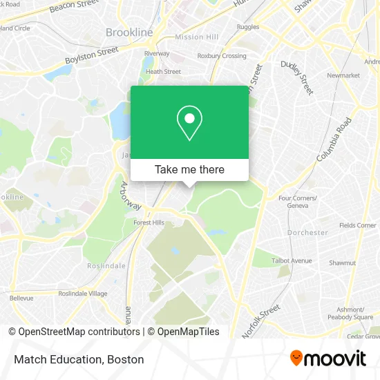
See Match Education, Boston, on the map
Public Transit to Match Education in Boston
Wondering how to get to Match Education in Boston? Moovit helps you find the best way to get to Match Education with step-by-step directions from the nearest public transit station.
Moovit provides free maps and live directions to help you navigate through your city. View schedules, routes, timetables, and find out how long does it take to get to Match Education in real time.
Looking for the nearest stop or station to Match Education? Check out this list of stops closest to your destination: Washington St @ Glen Rd; Green Street; Morton St @ Circuit Dr; Circuit Dr @ Shattuck Hospital; Circuit Dr Opp Shattuck Hospital; Four Corners/Geneva; Forest Hills.
Bus: 21, 31, 39, 42, 16, 32, 34, 36.Train: NEEDHAM, FAIRMOUNT, FRANKLIN/FOXBORO, PROVIDENCE/STOUGHTON.Subway: ORANGE LINE.
Want to see if there’s another route that gets you there at an earlier time? Moovit helps you find alternative routes or times. Get directions from and directions to Match Education easily from the Moovit App or Website.
We make riding to Match Education easy, which is why over 1.7 million users, including users in Boston, trust Moovit as the best app for public transit. You don’t need to download an individual bus app or train app, Moovit is your all-in-one transit app that helps you find the best bus time or train time available.
For information on prices of subway, bus and train, costs and ride fares to Match Education, please check the Moovit app.
Use the app to navigate to popular places including to the airport, hospital, stadium, grocery store, mall, coffee shop, school, college, and university.
Match Education Address: 215 Forest Hills St street in Boston
- Match Middle School (Match Charter Public School),
- Blonde on the Run Catering,
- Franklin Park - The 99 Steps and Ellicott Arch,
- Meeting Point (Meeting Place),
- Bitcoin Depot Atm,
- Midway Cafe,
- Queeraoke,
- Western Union,
- Catlabs,
- Boston For the Dogs,
- Avenue Barber Shop,
- Jp Car Wash,
- Scagnoli-Nihill Athletic Complex,
- Circus Up,
- English High School Track,
- Pure Dental,
- Boston International High School,
- Community Academy,
- Atm the Cooperative Bank,
- Beth Israel Lahey Health Primary Care - 3525 Washington
Places Near Match Education (Boston)
- Boston Common, Boston,
- Mgm Music Hall, Boston,
- Wang Theater, Boston,
- Prudential Center, Boston,
- Td Garden, Boston,
- Faneuil Hall, Boston,
- Cheers, Boston,
- Boston Medical Center, Boston,
- Castle Island, Boston,
- Leader Bank Pavilion (Leader Bank Pavillion), Boston,
- Isabella Stewart Gardner Museum, Boston,
- Museum Of Science, Boston,
- Boston Convention & Exhibition Center, Boston,
- Boston Children's Hospital, Boston,
- Wilbur Theatre, Boston,
- House Of Blues, Boston,
- Seaport District, Boston,
- Quincy Market, Boston,
- North End, Boston,
- Massachusetts General Hospital, Boston
How to get to popular places in Boston with public transit
Get around Boston by public transit!
Traveling around Boston has never been so easy. See step by step directions as you travel to any attraction, street or major public transit station. View bus and train schedules, arrival times, service alerts and detailed routes on a map, so you know exactly how to get to anywhere in Boston.
When traveling to any destination around Boston use Moovit's Live Directions with Get Off Notifications to know exactly where and how far to walk, how long to wait for your line, and how many stops are left. Moovit will alert you when it's time to get off — no need to constantly re-check whether yours is the next stop.
Wondering how to use public transit in Boston or how to pay for public transit in Boston? Moovit public transit app can help you navigate your way with public transit easily, and at minimum cost. It includes public transit fees, ticket prices, and costs. Looking for a map of Boston public transit lines? Moovit public transit app shows all public transit maps in Boston with all Bus, Train, Subway and Ferry routes and stops on an interactive map.
Boston has 4 transit type(s), including: Bus, Train, Subway and Ferry, operated by several transit agencies, including MBTA, Southeastern Regional Transit Authority, MetroWest Regional Transit Authority, Rhode Island Public Transit Authority, WRTA, Lowell Regional Transit Authority, Merrimack Valley Transit, Montachusett Regional Transit Authority, Cape Cod Regional Transit Authority, Brockton Area Transit Authority, Martha's Vineyard Transit Authority, the WAVE - Nantucket Regional Transit Authority, GATRA, Cape Ann Transportation Authority and Massport