How to get to Ponte Umberto I Square by bus?
Click on the bus route to see step by step directions with maps, line arrival times and updated time schedules.
From Furio Camillo, Roma
41 minFrom Telematica Roma Tre Square, Roma
36 minFrom San Basilio, Roma
60 minFrom Flaminio Village, Roma
55 minFrom Ministry of Health, Roma
51 minFrom Cecchignola - Military City, Roma
54 minFrom Tor Sapienza, Roma
50 minFrom Massimina, Roma
54 minFrom Laurentina Metro Station, Roma
40 minFrom De' Medici Park, Roma
73 min
How to get to Ponte Umberto I Square by train?
Click on the train route to see step by step directions with maps, line arrival times and updated time schedules.
How to get to Ponte Umberto I Square by metro?
Click on the metro route to see step by step directions with maps, line arrival times and updated time schedules.
Bus stops near Ponte Umberto I Square in Roma
Light Rail stations near Ponte Umberto I Square in Roma
- Arenula/Cairoli, 15 min walk,VIEW
Metro station near Ponte Umberto I Square in Roma
- Spain, 18 min walk,VIEW
Bus lines to Ponte Umberto I Square in Roma
- 30, Laurentina (Metro B),VIEW
- 70, Giolitti,VIEW
- N70, Termini (Metro A-Metro B-Railway),VIEW
- 81, Crescenzio/Risorgimento,VIEW
- 87, Giulio Cesare/Lepanto (Metro A),VIEW
- 492, Cipro Metro Station (Line A),VIEW
- 628, Baronio,VIEW
- N913, Tarsia,VIEW
- C3, Tiburtina Station (Metro B),VIEW
- N201, Piazza Venezia,VIEW
- 280, Mancini,VIEW
- 990, Monte Mario Station (FS-FL3),VIEW
- 100, Porta Pinciana,VIEW
- G03, Ripetta,VIEW
- 49, Cavour Square,VIEW
- 913, Monte Mario Station (FS-FL3),VIEW
What are the closest stations to Ponte Umberto I Square?
The closest stations to Ponte Umberto I Square are:
- Zanardelli is 55 meters away, 1 min walk.
- Tor Di Nona Waterfront/Zanardelli is 154 meters away, 3 min walk.
- Lungotevere Marzio is 164 meters away, 3 min walk.
- Monte Brianzo is 228 meters away, 3 min walk.
- Ripetta is 423 meters away, 6 min walk.
- Cavour Square is 607 meters away, 8 min walk.
- Arenula/Cairoli is 1115 meters away, 15 min walk.
- Spain is 1364 meters away, 18 min walk.
Which bus lines stop near Ponte Umberto I Square?
These bus lines stop near Ponte Umberto I Square: 30, 492, 628, 70.
Which train lines stop near Ponte Umberto I Square?
These train lines stop near Ponte Umberto I Square: FC3, FL3.
Which metro line stops near Ponte Umberto I Square?
A (Battistini)
What’s the nearest light rail station to Ponte Umberto I Square in Roma?
The nearest light rail station to Ponte Umberto I Square in Roma is Arenula/Cairoli. It’s a 15 min walk away.
What’s the nearest metro station to Ponte Umberto I Square in Roma?
The nearest metro station to Ponte Umberto I Square in Roma is Spain. It’s a 18 min walk away.
What’s the nearest bus station to Ponte Umberto I Square in Roma?
The nearest bus station to Ponte Umberto I Square in Roma is Zanardelli. It’s a 1 min walk away.
What time is the first light rail to Ponte Umberto I Square in Roma?
The 8 is the first light rail that goes to Ponte Umberto I Square in Roma. It stops nearby at 5:27 AM.
What time is the last light rail to Ponte Umberto I Square in Roma?
The 8 is the last light rail that goes to Ponte Umberto I Square in Roma. It stops nearby at 12:28 AM.
What time is the first metro to Ponte Umberto I Square in Roma?
The A is the first metro that goes to Ponte Umberto I Square in Roma. It stops nearby at 5:41 AM.
What time is the last metro to Ponte Umberto I Square in Roma?
The A is the last metro that goes to Ponte Umberto I Square in Roma. It stops nearby at 1:59 AM.
What time is the first bus to Ponte Umberto I Square in Roma?
The N913 is the first bus that goes to Ponte Umberto I Square in Roma. It stops nearby at 3:00 AM.
What time is the last bus to Ponte Umberto I Square in Roma?
The N913 is the last bus that goes to Ponte Umberto I Square in Roma. It stops nearby at 3:24 AM.
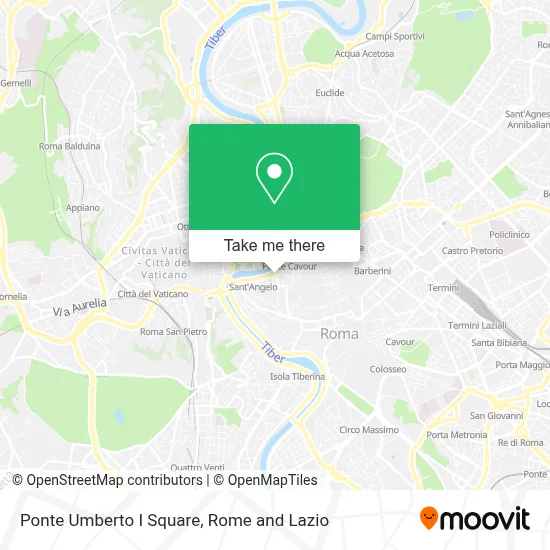
See Ponte Umberto I Square, Roma, on the map
Public Transit to Ponte Umberto I Square in Roma
Wondering how to get to Ponte Umberto I Square in Roma? Moovit helps you find the best way to get to Ponte Umberto I Square with step-by-step directions from the nearest public transit station.
Moovit provides free maps and live directions to help you navigate through your city. View schedules, routes, timetables, and find out how long does it take to get to Ponte Umberto I Square in real time.
Looking for the nearest stop or station to Ponte Umberto I Square? Check out this list of stops closest to your destination: Zanardelli; Tor Di Nona Waterfront/Zanardelli; Lungotevere Marzio; Monte Brianzo; Ripetta; Cavour Square; Arenula/Cairoli; Spain.
Bus: 30, 492, 628, 70, N70, 81, 87, C3, N201, 280, 990, 100.Train: FC3, FL3.Metro: A.
Want to see if there’s another route that gets you there at an earlier time? Moovit helps you find alternative routes or times. Get directions from and directions to Ponte Umberto I Square easily from the Moovit App or Website.
We make riding to Ponte Umberto I Square easy, which is why over 1.5 million users, including users in Roma, trust Moovit as the best app for public transit. You don’t need to download an individual bus app or train app, Moovit is your all-in-one transit app that helps you find the best bus time or train time available.
For information on prices of bus, metro and train, costs and ride fares to Ponte Umberto I Square, please check the Moovit app.
Use the app to navigate to popular places including to the airport, hospital, stadium, grocery store, mall, coffee shop, school, college, and university.
Location: Roma, Rome and Lazio
- Giuseppe Zanardelli Street / Ponte Umberto I Square,
- Napoleonic Museum,
- Napoleonic Museum of Rome,
- State General Advocacy,
- Lungotevere Tor di Nona / Umberto I Bridge,
- Vanity Hotel Navona Rome,
- Tordinona Theater (Tor di Nona Theater Rome),
- L'Osteria De Memmo (L'Osteria de Memmo I Santori),
- Orso Relais Rome,
- Ancient Bear Inn,
- Military Court of Appeal,
- The Ancient Locanda of the Bear Rome,
- Tordinona Theater,
- Ave Residence Rome,
- Supreme Military Court,
- Eurocopie,
- Lilli (Lilli Trattoria),
- Fiammetta Square,
- Altemps Palace,
- Crypta Balbi
Places Near Ponte Umberto I Square (Roma)
- The Sail, Roma,
- Olympic Stadium, Rome, Roma,
- Casilino Polyclinic, Roma,
- Coppedè Quarter, Roma,
- Auditorium Music Park, Roma,
- Paths, Roma,
- Scuderie Del Quirinale, Roma,
- Cristo Re Hospital, Roma,
- IDI (Dermopatico Dell'Immacolata Institute), Roma,
- Santa Maria Maggiore, Roma,
- Tor Vergata, Roma,
- The Wow Side, Fiumicino,
- Gemelli Polyclinic, Roma,
- Roma Est Shopping Center, Roma,
- Villa Borghese, Roma,
- Tiber Island, Roma,
- Trastevere Quarter, Roma,
- Sandro Pertini Hospital, Roma,
- Gravity, Roma,
- Termini Station, Roma
How to get to popular places in Rome and Lazio with public transit
Get around Roma by public transit!
Traveling around Roma has never been so easy. See step by step directions as you travel to any attraction, street or major public transit station. View bus and train schedules, arrival times, service alerts and detailed routes on a map, so you know exactly how to get to anywhere in Roma.
When traveling to any destination around Roma use Moovit's Live Directions with Get Off Notifications to know exactly where and how far to walk, how long to wait for your line, and how many stops are left. Moovit will alert you when it's time to get off — no need to constantly re-check whether yours is the next stop.
Wondering how to use public transit in Roma or how to pay for public transit in Roma? Moovit public transit app can help you navigate your way with public transit easily, and at minimum cost. It includes public transit fees, ticket prices, and costs. Looking for a map of Roma public transit lines? Moovit public transit app shows all public transit maps in Roma with all Bus, Train, Metro, Light Rail, Ferry, Funicular and Gondola routes and stops on an interactive map.
Rome and Lazio has 7 transit type(s), including: Bus, Train, Metro, Light Rail, Ferry, Funicular and Gondola, operated by several transit agencies, including ATAC, Cotral, Trenitalia, Troiani Transportation Services, BIS, ATR Mobility, Tuscia, Shuttle, Seatour, Troiani Bus Lines, CSC Mobility, Terravision, ATRAL, Tambus and Sitbus