How to get to Sears Optical - Closed by bus?
Click on the bus route to see step by step directions with maps, line arrival times and updated time schedules.
From Bunker Hill Community College, Boston
59 minFrom Uss Constitution, Boston
61 minFrom Winthrop, Winthrop Town
95 minFrom Nahant Beach, Nahant
59 minFrom Massport Security Badge Office, Boston
59 minFrom Wakefield, MA, Wakefield
59 minFrom Terminal E- Logan International Airport, Boston
59 minFrom USS Constitution, Boston
63 minFrom TownePlace Suites Boston Logan Airport/Chelsea, Chelsea
51 min
How to get to Sears Optical - Closed by train?
Click on the train route to see step by step directions with maps, line arrival times and updated time schedules.
Bus stops near Sears Optical - Closed in Saugus
Bus lines to Sears Optical - Closed in Saugus
What are the closest stations to Sears Optical - Closed?
The closest stations to Sears Optical - Closed are:
- Vine St @ Talbot St is 90 yards away, 2 min walk.
- Main St @ Vine St is 97 yards away, 2 min walk.
Which bus lines stop near Sears Optical - Closed?
These bus lines stop near Sears Optical - Closed: 429, 430.
Which train line stops near Sears Optical - Closed?
HAVERHILL (#1220 | North Station)
What’s the nearest bus station to Sears Optical - Closed in Saugus?
The nearest bus stations to Sears Optical - Closed in Saugus are Vine St @ Talbot St and Main St @ Vine St. The closest one is a 2 min walk away.
What time is the first bus to Sears Optical - Closed in Saugus?
The 429 is the first bus that goes to Sears Optical - Closed in Saugus. It stops nearby at 5:53 AM.
What time is the last bus to Sears Optical - Closed in Saugus?
The 429 is the last bus that goes to Sears Optical - Closed in Saugus. It stops nearby at 10:41 PM.
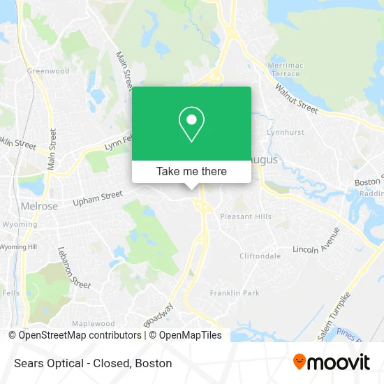
See Sears Optical - Closed, Saugus, on the map
Public Transit to Sears Optical - Closed in Saugus
Wondering how to get to Sears Optical - Closed in Saugus? Moovit helps you find the best way to get to Sears Optical - Closed with step-by-step directions from the nearest public transit station.
Moovit provides free maps and live directions to help you navigate through your city. View schedules, routes, timetables, and find out how long does it take to get to Sears Optical - Closed in real time.
Looking for the nearest stop or station to Sears Optical - Closed? Check out this list of stops closest to your destination: Vine St @ Talbot St; Main St @ Vine St.
Bus: 429, 430, 428.Train: HAVERHILL.
Want to see if there’s another route that gets you there at an earlier time? Moovit helps you find alternative routes or times. Get directions from and directions to Sears Optical - Closed easily from the Moovit App or Website.
We make riding to Sears Optical - Closed easy, which is why over 1.7 million users, including users in Saugus, trust Moovit as the best app for public transit. You don’t need to download an individual bus app or train app, Moovit is your all-in-one transit app that helps you find the best bus time or train time available.
For information on prices of bus, subway and train, costs and ride fares to Sears Optical - Closed, please check the Moovit app.
Use the app to navigate to popular places including to the airport, hospital, stadium, grocery store, mall, coffee shop, school, college, and university.
Sears Optical - Closed Address: 1325 Broadway street in Saugus
- Tip Top Nails,
- Cell Fashion- First Floor,
- Snipes,
- Banter by Piercing Pagoda,
- Boston Locker Room by Lids,
- Ultraflex Gym,
- Popular Perfumes,
- Gnc,
- Eros Hc Formal Wear,
- Ab Braiding And Beauty Supply,
- 3d Innovation In Boston,
- Gymboree,
- Sears Parts & Repair Center,
- Keyme Locksmiths,
- Sprint Store,
- The Pink Studio Spa,
- Pink by Victoria's Secret,
- Blast! Saugus,
- Ultraflex Gym,
- Lindt & Sprungli Usa Inc
Places Near Sears Optical - Closed (Saugus)
- Massachusetts General Hospital, Boston,
- Wang Theater, Boston,
- House Of Blues, Boston,
- Boston Common, Boston,
- Boston Convention & Exhibition Center, Boston,
- Castle Island, Boston,
- Isabella Stewart Gardner Museum, Boston,
- Faneuil Hall, Boston,
- Mgm Music Hall, Boston,
- Boston Medical Center, Boston,
- Boston Children's Hospital, Boston,
- Quincy Market, Boston,
- Cheers, Boston,
- North End, Boston,
- Seaport District, Boston,
- Wilbur Theatre, Boston,
- Prudential Center, Boston,
- Leader Bank Pavilion (Leader Bank Pavillion), Boston,
- Museum Of Science, Boston,
- Td Garden, Boston
How to get to popular places in Boston with public transit
Get around Saugus by public transit!
Traveling around Saugus has never been so easy. See step by step directions as you travel to any attraction, street or major public transit station. View bus and train schedules, arrival times, service alerts and detailed routes on a map, so you know exactly how to get to anywhere in Saugus.
When traveling to any destination around Saugus use Moovit's Live Directions with Get Off Notifications to know exactly where and how far to walk, how long to wait for your line, and how many stops are left. Moovit will alert you when it's time to get off — no need to constantly re-check whether yours is the next stop.
Wondering how to use public transit in Saugus or how to pay for public transit in Saugus? Moovit public transit app can help you navigate your way with public transit easily, and at minimum cost. It includes public transit fees, ticket prices, and costs. Looking for a map of Saugus public transit lines? Moovit public transit app shows all public transit maps in Saugus with all Bus, Train, Subway and Ferry routes and stops on an interactive map.
Boston has 4 transit type(s), including: Bus, Train, Subway and Ferry, operated by several transit agencies, including MBTA, Southeastern Regional Transit Authority, MetroWest Regional Transit Authority, Rhode Island Public Transit Authority, WRTA, Lowell Regional Transit Authority, Merrimack Valley Transit, Montachusett Regional Transit Authority, Cape Cod Regional Transit Authority, Brockton Area Transit Authority, Martha's Vineyard Transit Authority, the WAVE - Nantucket Regional Transit Authority, GATRA, Cape Ann Transportation Authority and Massport