How to get to Slope Properties by bus?
Click on the bus route to see step by step directions with maps, line arrival times and updated time schedules.
From Polar Park, Worcester
167 minFrom Palladium, Worcester
171 minFrom Foxwoods, Worcester
168 minFrom Saint Vincent Hospital at Worcester Medical Center, Worcester
168 minFrom Dcu Center, Worcester
168 minFrom Worcester, MA, Worcester
166 minFrom South High Community School, Worcester
235 minFrom Gardner, MA, Gardner
290 minFrom Registry Of Motor Vehicles (Rmv) Branch Office, Worcester
170 min
Bus stops near Slope Properties in Boston
Train station near Slope Properties in Boston
- Holyoke Amtrak, 25 min walk,VIEW
Bus lines to Slope Properties in Boston
What are the closest stations to Slope Properties?
The closest stations to Slope Properties are:
- Holyoke Community College - College Road is 195 yards away, 3 min walk.
- Homestead / Sheehan is 639 yards away, 8 min walk.
- Holyoke Amtrak is 2071 yards away, 25 min walk.
Which bus lines stop near Slope Properties?
These bus lines stop near Slope Properties: B23, P20, P21E.
What’s the nearest train station to Slope Properties in Boston?
The nearest train station to Slope Properties in Boston is Holyoke Amtrak. It’s a 25 min walk away.
What’s the nearest bus station to Slope Properties in Boston?
The nearest bus station to Slope Properties in Boston is Holyoke Community College - College Road. It’s a 3 min walk away.
What time is the first train to Slope Properties in Boston?
The VALLEY FLYER is the first train that goes to Slope Properties in Boston. It stops nearby at 6:45 AM.
What time is the last train to Slope Properties in Boston?
The VALLEY FLYER is the last train that goes to Slope Properties in Boston. It stops nearby at 9:51 PM.
What time is the first bus to Slope Properties in Boston?
The B23 is the first bus that goes to Slope Properties in Boston. It stops nearby at 5:41 AM.
What time is the last bus to Slope Properties in Boston?
The R41 is the last bus that goes to Slope Properties in Boston. It stops nearby at 7:10 PM.
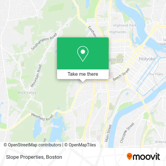
See Slope Properties, Boston, on the map
Public Transit to Slope Properties in Boston
Wondering how to get to Slope Properties in Boston? Moovit helps you find the best way to get to Slope Properties with step-by-step directions from the nearest public transit station.
Moovit provides free maps and live directions to help you navigate through your city. View schedules, routes, timetables, and find out how long does it take to get to Slope Properties in real time.
Looking for the nearest stop or station to Slope Properties? Check out this list of stops closest to your destination: Holyoke Community College - College Road; Homestead / Sheehan; Holyoke Amtrak.
Bus: B23, P20, P21E, R41, T20, T23.Train: VALLEY FLYER, VERMONTER.
Want to see if there’s another route that gets you there at an earlier time? Moovit helps you find alternative routes or times. Get directions from and directions to Slope Properties easily from the Moovit App or Website.
We make riding to Slope Properties easy, which is why over 1.7 million users, including users in Boston, trust Moovit as the best app for public transit. You don’t need to download an individual bus app or train app, Moovit is your all-in-one transit app that helps you find the best bus time or train time available.
For information on prices of bus, costs and ride fares to Slope Properties, please check the Moovit app.
Use the app to navigate to popular places including to the airport, hospital, stadium, grocery store, mall, coffee shop, school, college, and university.
Slope Properties Address: 10 Humeston Slope street in Boston
- Ahimsa Yoga Holyoke,
- WMTC,
- Burgess Kim Grass,
- Cherry Hill,
- Soldiers Home & Fairmont,
- Wcch-Fm (Holyoke),
- Soldiers' Home in Holyoke,
- Bartley Center,
- M Lot,
- R Lot,
- Beaudoin Village,
- Casino Design,
- Chris O'Donnell Patterson Dental,
- HCC Nature Trail,
- S Lot (Visitor Parking),
- Little Stars Daycare and Preschool,
- Ashley Watershed,
- Marieb Building,
- The C Building,
- Massachusetts Export Center
Places Near Slope Properties (Boston)
- Museum Of Science, Boston,
- Quincy Market, Boston,
- Wilbur Theatre, Boston,
- Wang Theater, Boston,
- Faneuil Hall, Boston,
- North End, Boston,
- House Of Blues, Boston,
- Boston Common, Boston,
- Seaport District, Boston,
- Prudential Center, Boston,
- Cheers, Boston,
- Boston Children's Hospital, Boston,
- Mgm Music Hall, Boston,
- Boston Medical Center, Boston,
- Castle Island, Boston,
- Isabella Stewart Gardner Museum, Boston,
- Boston Convention & Exhibition Center, Boston,
- Massachusetts General Hospital, Boston,
- Td Garden, Boston,
- Leader Bank Pavilion (Leader Bank Pavillion), Boston
How to get to popular places in Boston with public transit
Get around Boston by public transit!
Traveling around Boston has never been so easy. See step by step directions as you travel to any attraction, street or major public transit station. View bus and train schedules, arrival times, service alerts and detailed routes on a map, so you know exactly how to get to anywhere in Boston.
When traveling to any destination around Boston use Moovit's Live Directions with Get Off Notifications to know exactly where and how far to walk, how long to wait for your line, and how many stops are left. Moovit will alert you when it's time to get off — no need to constantly re-check whether yours is the next stop.
Wondering how to use public transit in Boston or how to pay for public transit in Boston? Moovit public transit app can help you navigate your way with public transit easily, and at minimum cost. It includes public transit fees, ticket prices, and costs. Looking for a map of Boston public transit lines? Moovit public transit app shows all public transit maps in Boston with all Bus, Train, Subway and Ferry routes and stops on an interactive map.
Boston has 4 transit type(s), including: Bus, Train, Subway and Ferry, operated by several transit agencies, including MBTA, Southeastern Regional Transit Authority, MetroWest Regional Transit Authority, Rhode Island Public Transit Authority, WRTA, Lowell Regional Transit Authority, Merrimack Valley Transit, Montachusett Regional Transit Authority, Cape Cod Regional Transit Authority, Brockton Area Transit Authority, Martha's Vineyard Transit Authority, the WAVE - Nantucket Regional Transit Authority, GATRA, Cape Ann Transportation Authority and Massport