The Most Popular Urban Mobility App in Columbus.
All local mobility options in one app
Central Ohio Transit Authority is a public transportation provider in Columbus which operates Bus routes.
The Central Ohio Transit Authority has 39 Bus routes in Columbus with 2966 Bus stops.
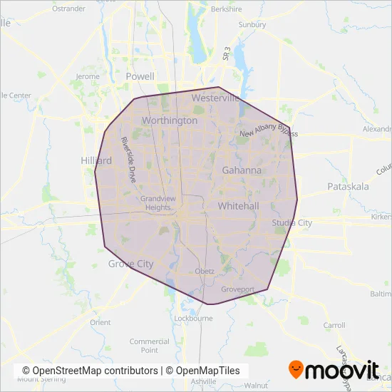
Their Bus routes cover an area from the Heritage Club Dr & Colonial Dr stop to the Hims Amplify Bio stop and from the Meijers & Polaris Woods Blvd stop to the London-Groveport Rd & Alum Creek Dr stop.
Central Ohio Transit Authority line schedules (timetables, itineraries, service hours), and departure and arrival times to stations are updated in the app in real time.
For Central Ohio Transit Authority service alerts, please check the Moovit website for real-time info on bus status, bus delays, changes of bus routes, changes of stops and any service changes.
Central Ohio Transit Authority is a public transportation provider in Columbus which operates Bus routes.
The Central Ohio Transit Authority has 39 Bus routes in Columbus with 2966 Bus stops.
Their Bus routes cover an area from the Heritage Club Dr & Colonial Dr stop to the Hims Amplify Bio stop and from the Meijers & Polaris Woods Blvd stop to the London-Groveport Rd & Alum Creek Dr stop.
Central Ohio Transit Authority line schedules (timetables, itineraries, service hours), and departure and arrival times to stations are updated in the app in real time.
The Central Ohio Transit Authority has Bus routes operating across Columbus including: Hilliard, Westerville, Whitehall, Worthington, Columbus, Gahanna, Reynoldsburg, Grandview Heights, Grove City, Upper Arlington.
The longest line from the Central Ohio Transit Authority is: 9. This Bus route starts from Easton Terminal Bay 8 (Columbus) and ends at Westwoods Park And Ride. It covers over 40 km and has 112 stops.
The shortest line is: 12. This Bus line begins from N Front St & W Gay St and finishes at 1333 Fields Ave (Columbus). It runs through 4 km with 13 stops.
According to Moovit Insights, the most popular lines for Central Ohio Transit Authority are 9, 24, 2, 10, 1.
Costs and prices of different ticket types may change, based on several factors. Please check the Moovit app to view bus fares of individual lines. For more information on ride fares and for buying bus tickets online please visit Central Ohio Transit Authority's official site.
Looking for a specific Central Ohio Transit Authority Bus schedule? All Central Ohio Transit Authority lines and schedules in Columbus can be found in the Moovit App. Moovit gives you directions for Central Ohio Transit Authority routes and provides helpful step-by-step navigation.