Directions to Nicolas Cal, Do (Boston) with public transportation
The following transit lines have routes that pass near Nicolas Cal, Do
 Bus: G2, G73E, P21, T2, T4.
- Train: LAKE SHORE LIMITED, VERMONTER, AMTRAK HARTFORD LINE, NORTHEAST REGIONAL, VALLEY FLYER.
How to get to Nicolas Cal, Do by bus?
Click on the bus route to see step by step directions with maps, line arrival times and updated time schedules.
From Worcester, MA, Worcester
91 minFrom South High Community School, Worcester
188 minFrom Polar Park, Worcester
93 minFrom Foxwoods, Worcester
121 minFrom Palladium, Worcester
96 minFrom Registry Of Motor Vehicles (Rmv) Branch Office, Worcester
95 minFrom Walmart Supercenter, Worcester
150 minFrom Dcu Center, Worcester
93 min
How to get to Nicolas Cal, Do by train?
Click on the train route to see step by step directions with maps, line arrival times and updated time schedules.
Bus stops near Nicolas Cal, Do in Boston
Train station near Nicolas Cal, Do in Boston
- Springfield, 44 min walk,VIEW
Bus lines to Nicolas Cal, Do in Boston
What are the closest stations to Nicolas Cal, Do?
The closest stations to Nicolas Cal, Do are:
- Carew/Dwight (3) is 217 yards away, 3 min walk.
- Carew/Dwight (4) is 222 yards away, 3 min walk.
- Chestnut / Hebron is 332 yards away, 5 min walk.
- Saab Court is 1385 yards away, 17 min walk.
- Springfield is 3748 yards away, 44 min walk.
Which bus lines stop near Nicolas Cal, Do?
These bus lines stop near Nicolas Cal, Do: G2, G73E, P21.
Which train lines stop near Nicolas Cal, Do?
These train lines stop near Nicolas Cal, Do: LAKE SHORE LIMITED, VERMONTER.
What’s the nearest bus station to Nicolas Cal, Do in Boston?
The nearest bus stations to Nicolas Cal, Do in Boston are Carew/Dwight (3) and Carew/Dwight (4). The closest one is a 3 min walk away.
What time is the first train to Nicolas Cal, Do in Boston?
The NORTHEAST REGIONAL is the first train that goes to Nicolas Cal, Do in Boston. It stops nearby at 4:10 AM.
What time is the last train to Nicolas Cal, Do in Boston?
The LAKE SHORE LIMITED is the last train that goes to Nicolas Cal, Do in Boston. It stops nearby at 6:04 PM.
What time is the first bus to Nicolas Cal, Do in Boston?
The P21 is the first bus that goes to Nicolas Cal, Do in Boston. It stops nearby at 5:03 AM.
What time is the last bus to Nicolas Cal, Do in Boston?
The G2 is the last bus that goes to Nicolas Cal, Do in Boston. It stops nearby at 10:18 PM.
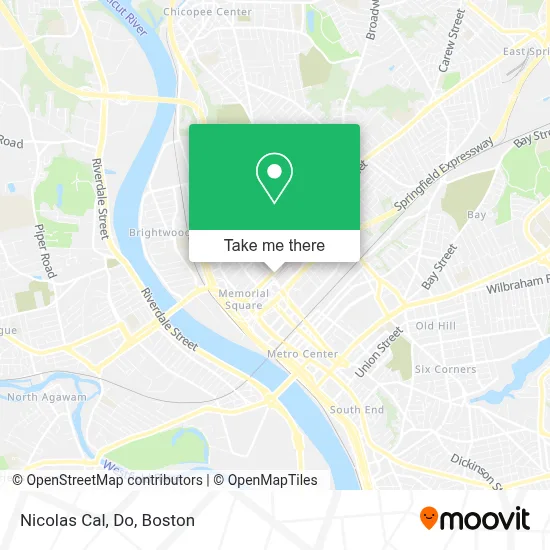
See Nicolas Cal, Do, Boston, on the map
Public Transit to Nicolas Cal, Do in Boston
Wondering how to get to Nicolas Cal, Do in Boston? Moovit helps you find the best way to get to Nicolas Cal, Do with step-by-step directions from the nearest public transit station.
Moovit provides free maps and live directions to help you navigate through your city. View schedules, routes, timetables, and find out how long does it take to get to Nicolas Cal, Do in real time.
Looking for the nearest stop or station to Nicolas Cal, Do? Check out this list of stops closest to your destination: Carew/Dwight (3); Carew/Dwight (4); Chestnut / Hebron; Saab Court; Springfield.
Bus: G2, G73E, P21, T2, T4, T21, T3, G3.Train: LAKE SHORE LIMITED, VERMONTER, AMTRAK HARTFORD LINE, NORTHEAST REGIONAL, VALLEY FLYER.
Want to see if there’s another route that gets you there at an earlier time? Moovit helps you find alternative routes or times. Get directions from and directions to Nicolas Cal, Do easily from the Moovit App or Website.
We make riding to Nicolas Cal, Do easy, which is why over 1.7 million users, including users in Boston, trust Moovit as the best app for public transit. You don’t need to download an individual bus app or train app, Moovit is your all-in-one transit app that helps you find the best bus time or train time available.
For information on prices of bus and train, costs and ride fares to Nicolas Cal, Do, please check the Moovit app.
Use the app to navigate to popular places including to the airport, hospital, stadium, grocery store, mall, coffee shop, school, college, and university.
Nicolas Cal, Do Address: 175 Carew St Ste 200 street in Boston
- Hampden County Physician Associates,
- MMG-Sprngfld-Dr Wojcik,
- Mercy Weldon Rehabilitation Center,
- Viriato M Fiallo MD,
- Carew Mini Market,
- Bass Spine & Rehab,
- Sensamed,
- Chestnut & Sherrington,
- Murray Bedford PC,
- Meeran, MK,
- Capricho Jewelry,
- Puerta del Cielo Funeral Home,
- Baystate Medical Center,
- Dominic Wxotic Ken,
- St. Peter & St. Paul Russian Orthodox Church,
- Gilman Health Sciences Library,
- Memorial Square District,
- City of Springfield Springfield Academy,
- Erik Crump,
- Gardner Memorial Ame Zion Church
Places Near Nicolas Cal, Do (Boston)
- Cheers, Boston,
- Boston Medical Center, Boston,
- Boston Common, Boston,
- Boston Convention & Exhibition Center, Boston,
- North End, Boston,
- Wang Theater, Boston,
- Mgm Music Hall, Boston,
- Quincy Market, Boston,
- Seaport District, Boston,
- Faneuil Hall, Boston,
- Museum Of Science, Boston,
- Leader Bank Pavilion (Leader Bank Pavillion), Boston,
- Td Garden, Boston,
- Boston Children's Hospital, Boston,
- Massachusetts General Hospital, Boston,
- House Of Blues, Boston,
- Wilbur Theatre, Boston,
- Castle Island, Boston,
- Prudential Center, Boston,
- Isabella Stewart Gardner Museum, Boston
How to get to popular places in Boston with public transit
Get around Boston by public transit!
Traveling around Boston has never been so easy. See step by step directions as you travel to any attraction, street or major public transit station. View bus and train schedules, arrival times, service alerts and detailed routes on a map, so you know exactly how to get to anywhere in Boston.
When traveling to any destination around Boston use Moovit's Live Directions with Get Off Notifications to know exactly where and how far to walk, how long to wait for your line, and how many stops are left. Moovit will alert you when it's time to get off — no need to constantly re-check whether yours is the next stop.
Wondering how to use public transit in Boston or how to pay for public transit in Boston? Moovit public transit app can help you navigate your way with public transit easily, and at minimum cost. It includes public transit fees, ticket prices, and costs. Looking for a map of Boston public transit lines? Moovit public transit app shows all public transit maps in Boston with all Bus, Train, Subway and Ferry routes and stops on an interactive map.
Boston has 4 transit type(s), including: Bus, Train, Subway and Ferry, operated by several transit agencies, including MBTA, Southeastern Regional Transit Authority, MetroWest Regional Transit Authority, Rhode Island Public Transit Authority, WRTA, Lowell Regional Transit Authority, Merrimack Valley Transit, Montachusett Regional Transit Authority, Cape Cod Regional Transit Authority, Brockton Area Transit Authority, Martha's Vineyard Transit Authority, the WAVE - Nantucket Regional Transit Authority, GATRA, Cape Ann Transportation Authority and Massport