Directions to Springfield City Election Committee (Boston) with public transportation
The following transit lines have routes that pass near Springfield City Election Committee
 Bus: G1, G5, R14, B7, G2.
- Train: LAKE SHORE LIMITED, VERMONTER, AMTRAK HARTFORD LINE, NORTHEAST REGIONAL, VALLEY FLYER.
How to get to Springfield City Election Committee by bus?
Click on the bus route to see step by step directions with maps, line arrival times and updated time schedules.
From Polar Park, Worcester
93 minFrom Registry Of Motor Vehicles (Rmv) Branch Office, Worcester
96 minFrom Foxwoods, Worcester
121 minFrom South High Community School, Worcester
188 minFrom Dcu Center, Worcester
94 minFrom Worcester, MA, Worcester
92 minFrom Walmart Supercenter, Worcester
150 minFrom Palladium, Worcester
97 min
How to get to Springfield City Election Committee by train?
Click on the train route to see step by step directions with maps, line arrival times and updated time schedules.
Bus stops near Springfield City Election Committee in Boston
Train station near Springfield City Election Committee in Boston
- Springfield, 56 min walk,VIEW
Bus lines to Springfield City Election Committee in Boston
- B7, Colonial Estates Via Independence House,VIEW
- G1, The X Via Sumner Ave,VIEW
- G2, E Springfield Via Union Station-Mercy,VIEW
- T1, Sumner To the X To Dickinson,VIEW
- T2, Belmont To the X,VIEW
- T4, State Street Blunt Pk Rd To Bay St,VIEW
- T5, State St Blunt Park Rd To Bay St,VIEW
- T21, State Street Blunt Park Rd. To Bay Street,VIEW
- T92, Orange To the X,VIEW
- X92, Memorial Industrial Park Via Senior Center And Roosevelt,VIEW
- B6, Ludlow via Bay St,VIEW
- B17, Wilbraham Big Y-Worthington St-Wilbraham Rd,VIEW
- G3, Spfld Plaza via Liberty / King-Westford,VIEW
- G5, Dickinson-Jewish Home-Longmeadow,VIEW
- R10, Westfield/West Springfield via Route 20,VIEW
- R14, Feeding Hills-Springfield,VIEW
- T3, Tripper 3 Helper Service,VIEW
- T6, Tripper 6 Helper Service,VIEW
- X90, Inner Crosstown,VIEW
What are the closest stations to Springfield City Election Committee?
The closest stations to Springfield City Election Committee are:
- Court Square is 72 yards away, 1 min walk.
- Main / Worthington is 83 yards away, 2 min walk.
- Springfield is 4752 yards away, 56 min walk.
Which bus lines stop near Springfield City Election Committee?
These bus lines stop near Springfield City Election Committee: G1, G5, R14.
Which train lines stop near Springfield City Election Committee?
These train lines stop near Springfield City Election Committee: LAKE SHORE LIMITED, VERMONTER.
What’s the nearest bus station to Springfield City Election Committee in Boston?
The nearest bus station to Springfield City Election Committee in Boston is Court Square. It’s a 1 min walk away.
What time is the first train to Springfield City Election Committee in Boston?
The NORTHEAST REGIONAL is the first train that goes to Springfield City Election Committee in Boston. It stops nearby at 4:10 AM.
What time is the last train to Springfield City Election Committee in Boston?
The LAKE SHORE LIMITED is the last train that goes to Springfield City Election Committee in Boston. It stops nearby at 6:04 PM.
What time is the first bus to Springfield City Election Committee in Boston?
The R10 is the first bus that goes to Springfield City Election Committee in Boston. It stops nearby at 5:01 AM.
What time is the last bus to Springfield City Election Committee in Boston?
The R10 is the last bus that goes to Springfield City Election Committee in Boston. It stops nearby at 11:21 PM.
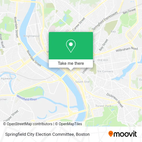
See Springfield City Election Committee, Boston, on the map
Public Transit to Springfield City Election Committee in Boston
Wondering how to get to Springfield City Election Committee in Boston? Moovit helps you find the best way to get to Springfield City Election Committee with step-by-step directions from the nearest public transit station.
Moovit provides free maps and live directions to help you navigate through your city. View schedules, routes, timetables, and find out how long does it take to get to Springfield City Election Committee in real time.
Looking for the nearest stop or station to Springfield City Election Committee? Check out this list of stops closest to your destination: Court Square; Main / Worthington; Springfield.
Bus: G1, G5, R14, B7, G2, T1, T2, B6, B17, G3, R10.Train: LAKE SHORE LIMITED, VERMONTER, AMTRAK HARTFORD LINE, NORTHEAST REGIONAL, VALLEY FLYER.
Want to see if there’s another route that gets you there at an earlier time? Moovit helps you find alternative routes or times. Get directions from and directions to Springfield City Election Committee easily from the Moovit App or Website.
We make riding to Springfield City Election Committee easy, which is why over 1.7 million users, including users in Boston, trust Moovit as the best app for public transit. You don’t need to download an individual bus app or train app, Moovit is your all-in-one transit app that helps you find the best bus time or train time available.
For information on prices of bus and train, costs and ride fares to Springfield City Election Committee, please check the Moovit app.
Use the app to navigate to popular places including to the airport, hospital, stadium, grocery store, mall, coffee shop, school, college, and university.
Springfield City Election Committee Address: 36 Court St street in Boston
- Top Dog Removal Services,
- Springfield Municipal Group,
- Springfield City Complex,
- 1856 City Hall Bell,
- One Financial Plaza,
- Springfield Campanile,
- One Financial Plaza Fountain,
- Birdicus Gigantium,
- Susan A Mielnikowski Attorney,
- Thomson Reuters,
- Law Office of Joseph M Pacella,
- Juan M Rivera, Esq Attorney at Law,
- Neville & Kerr,
- Daniel A. Pava,
- Fuze,
- Elegant Affairs-Glass Room,
- Law Offices of Michelle Cruz,
- Job Corps,
- Dawn D McDonald,
- Mason, Mark D
Places Near Springfield City Election Committee (Boston)
- Castle Island, Boston,
- Massachusetts General Hospital, Boston,
- Boston Medical Center, Boston,
- Mgm Music Hall, Boston,
- Faneuil Hall, Boston,
- Isabella Stewart Gardner Museum, Boston,
- Boston Convention & Exhibition Center, Boston,
- Boston Common, Boston,
- Prudential Center, Boston,
- Boston Children's Hospital, Boston,
- Td Garden, Boston,
- House Of Blues, Boston,
- Wang Theater, Boston,
- Seaport District, Boston,
- North End, Boston,
- Wilbur Theatre, Boston,
- Quincy Market, Boston,
- Museum Of Science, Boston,
- Leader Bank Pavilion (Leader Bank Pavillion), Boston,
- Cheers, Boston
How to get to popular places in Boston with public transit
Get around Boston by public transit!
Traveling around Boston has never been so easy. See step by step directions as you travel to any attraction, street or major public transit station. View bus and train schedules, arrival times, service alerts and detailed routes on a map, so you know exactly how to get to anywhere in Boston.
When traveling to any destination around Boston use Moovit's Live Directions with Get Off Notifications to know exactly where and how far to walk, how long to wait for your line, and how many stops are left. Moovit will alert you when it's time to get off — no need to constantly re-check whether yours is the next stop.
Wondering how to use public transit in Boston or how to pay for public transit in Boston? Moovit public transit app can help you navigate your way with public transit easily, and at minimum cost. It includes public transit fees, ticket prices, and costs. Looking for a map of Boston public transit lines? Moovit public transit app shows all public transit maps in Boston with all Bus, Train, Subway and Ferry routes and stops on an interactive map.
Boston has 4 transit type(s), including: Bus, Train, Subway and Ferry, operated by several transit agencies, including MBTA, Southeastern Regional Transit Authority, MetroWest Regional Transit Authority, Rhode Island Public Transit Authority, WRTA, Lowell Regional Transit Authority, Merrimack Valley Transit, Montachusett Regional Transit Authority, Cape Cod Regional Transit Authority, Brockton Area Transit Authority, Martha's Vineyard Transit Authority, the WAVE - Nantucket Regional Transit Authority, GATRA, Cape Ann Transportation Authority and Massport